Trip Report
Backpack - Wonderland Trail: Longmire to Westside Road
Great Three-day, two night on the Wonderland Trail from Longmire to Westside Road. Perfect weather and conditions.
- Wed, Aug 10, 2022 — Fri, Aug 12, 2022
- Backpack - Wonderland Trail: Longmire to Westside Road
- Wonderland Trail: Longmire to Westside Road
- Backpacking
- Successful
-

- Road suitable for all vehicles
-
This section of the Wonderland Road was in great shape with no snow cover. The Kautz Creek crossing was through three channels with maximum knee deep water. The crossing was made in the late morning in cool weather (~60 deg) so melt volume wasn't particularly heavy. Devil's Dream and South Puyallup River group- camps were pleasant with good water sources nearby.
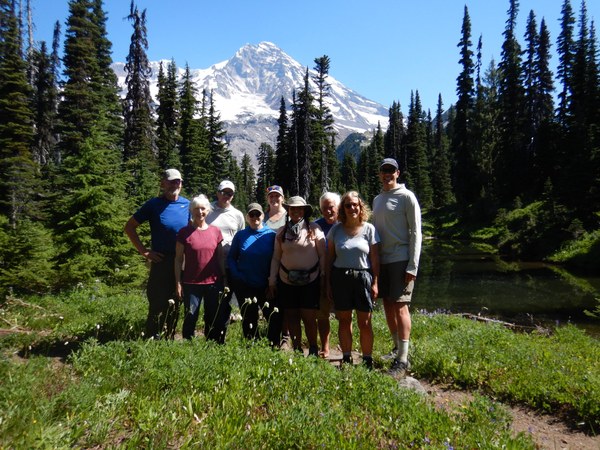
Our group of 9 was on-trail at just before 10 am after leaving two cars at the Westside Road terminus and securing camp permits at the Wilderness Information Center. The Westside Road is in very good condition with the Trailhead about 2 1/2 mile from Paradise Road. There were about 9 - 10 other cars at trailhead on this Wednesday morning. We made good time on the 5.7 mile hike from Longmire to our First Camp, Devil's Dream. There were three channels to cross at Kautz Creek and we enjoyed a leisurely lunch at the far end of the crossing before continuing the 1,250 vertical feet to camp. We arrived before 3 pm leaving us the afternoon to pitch camp, play cards and relax. While present, insects were not as bad as they reportedly sometimes are. The early season water source just behind the group camp site was not flowing, but there was a good water source just before camp.
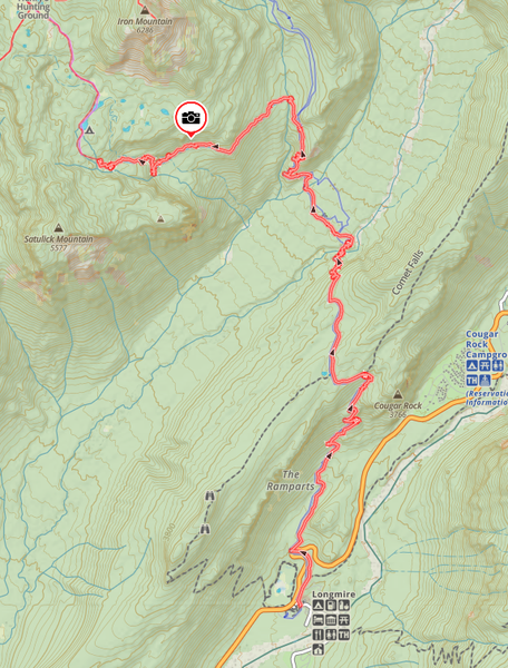
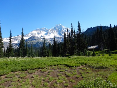
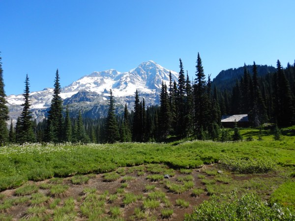
After a good night sleep, we started day 2 with a pleasant walk to Indian Henry's Hunting Grounds. The day was cool and brilliant with outstanding views of Mt. Rainier framed by abundant wildflowers.
After a brief stop at the Ranger Station we made the .6 mile side trip to Mirror Lakes, which was somewhat of a disappointment as the water was not mirror-like and was somewhat stagnant.
Shortly after Mirror Lakes we hiked the 1,000+ ft. steepest descent section of our route to the remarkable suspension bridge over Tacoma Creek where we lunched before crossing the 200 ft. span crossing 165 ft. over the milky brown creek draining the Tahoma Glacier melt.
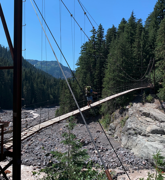
Once over the bridge we started the 1,300 vertical ft. climb to Emerald Ridge. Two thirds of the ascent was under cover of the forest, but when we emerged from the canopy we were treated to some of the most awe-inspiring views that MRNP has to offer.
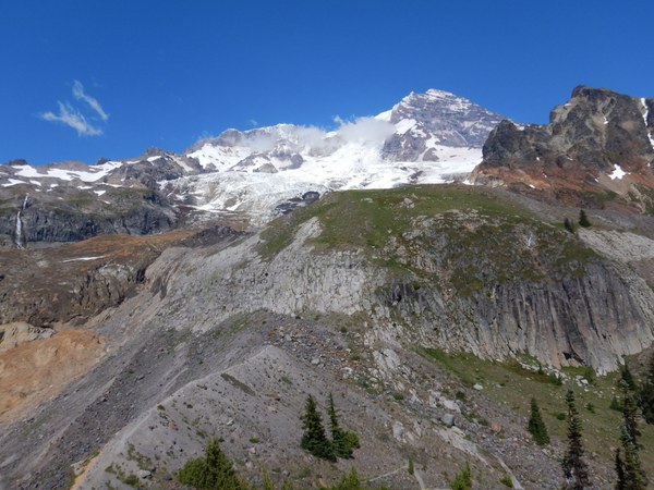
Our high elevation point of the trip was at the end of the Emerald Ridge ascent, where we rested at the top of a shaded knoll with a 270 deg. view of the mountains flanked by glaciers and highlighted by several lengthy waterfalls of snow-melt. The first third of our descent to the next camp was on the open ridge above Tahoma Creek before completing the day on a pleasant woodland path.
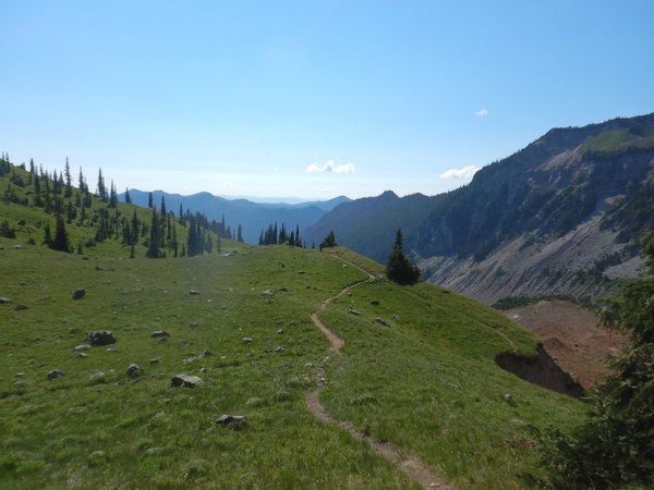
We stopped at an excellent flowing water source about 1/8 mile before the South Puyallup River Camp, and junction with the Wonderland trail as it turns north to cross the South Puyallup River to filter water for camp and our hike out the following day.
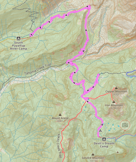
We enjoyed our dinner with High-energy Hilary from Nebraska, a fun Wonderland Trail through-hiker we met earlier, and spent another peaceful night in camp lulled to sleep with the white noise of the South Puyallup River flowing in the bckground.
Our final day we broke camp, stopped to admire the Collonades and hiked the short distance to the junction with the Westside Road where we stopped to pay our respects at the Marine Memorial to the 32 U.S. Marines who were killed when a transport plane crashed into the Tacoma Glacier on Mount Rainer on December 10, 1946.
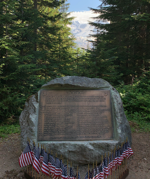
We then walked the remaining couple miles to the trailhead and awaiting cars, reflecting on our three days on the Wonderland Trail with a great group of Mountaineers, privileged to live so close to one of the most beautiful areas in the world.
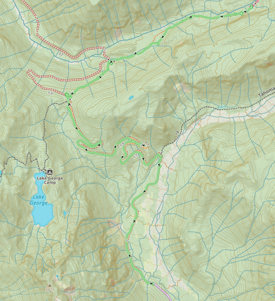
Summary of daily stats follows, without side trips:

 Geoff Lawrence