Trip Report
Basic Alpine Climb - Columbia Peak/West Spur
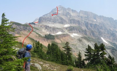
Beautiful peak with sustained and exposed scrambling. I am giving it only 4 stars because our views were few due to the smoke. Otherwise I am sure they would have been stunning.
- Mon, Aug 13, 2018
- Basic Alpine Climb - Columbia Peak/West Spur
- Columbia Peak/West Spur
- Climbing
- Successful
-

- Road suitable for all vehicles
-
Paved to Barlow Pass where cars were parked. Biked to Monte Cristo. A large log over the SFork of the Sauk to cross, but unfortunately many logs cris-crossing the large log which made it difficult. Had to lift the bikes across a couple cris-crossing logs and then hop rocks to the other side. Had to get on and off our bikes several times and push during our ride to Monte Cristo, but it certainly is worth it. Returned via new Wagon Trail built in 2015 which is 5 mi instead of 4 with more ups and downs.
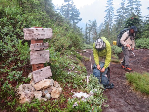
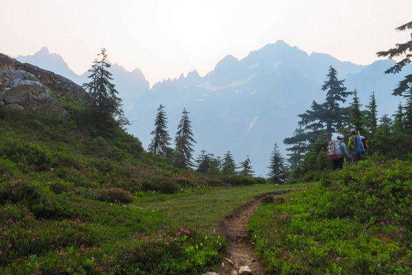
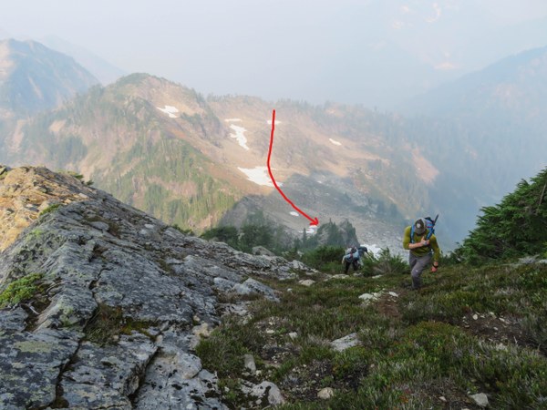
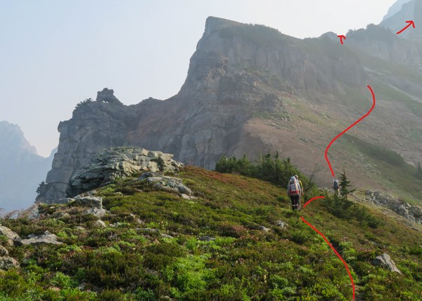
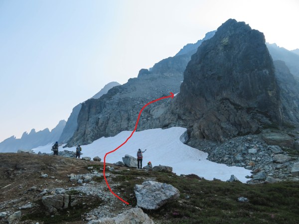
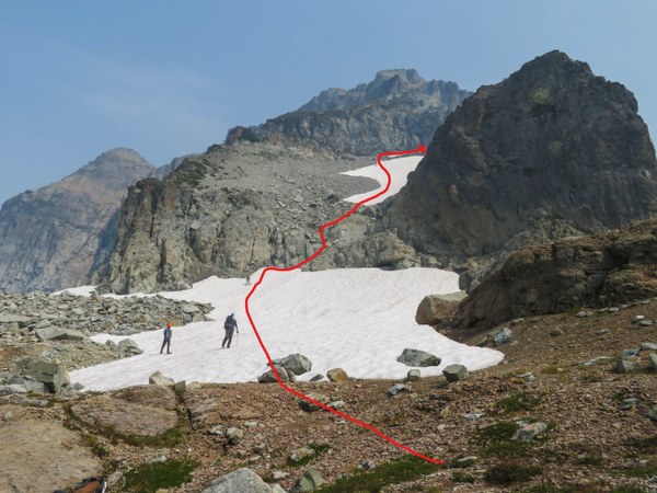
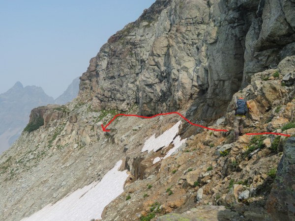
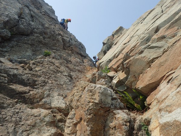
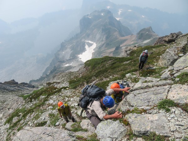 Climbing up the gully with loose rock. There are 2 with the first being much more solid.
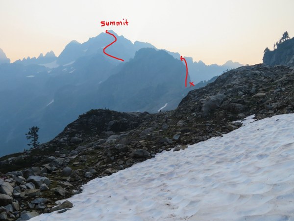
 At the top of the gully, traverse climbers left on a ledge. Photo taken on the return.
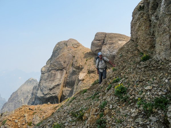
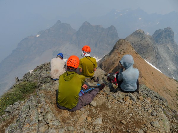
 On the summit at about 11:45am. Summit photo with limited views due to all the smoke. Departed about half hour later.
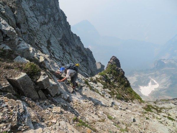
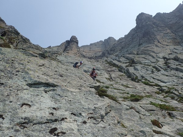
 The harder part, getting down. Some photos.
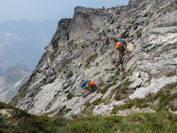
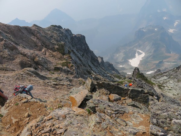 Where the rock was actually good and fun. Photo taken on the way down by Tom Girard.
 Back at camp at 5pm to pack up. Departed at 5:30pm. Rode the new Wagon Trail back which met the road .8 miles past and below Barlow Pass. Tom was way ahead so was able to reach his car way before the rest of us. Drove down to us just as we got to the road and took the drivers to their cars parked at Barlow Pass. They then drove down and picked the rest up right before dark. What a day, what a great group!
 Susan Shih