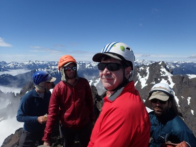
Trip Report
Basic Alpine Climb - Mount Constance/South Chute
A successful trip in a brief weather window.
- Thu, Jun 21, 2018 — Sat, Jun 23, 2018
- Basic Alpine Climb - Mount Constance/South Chute
- Mount Constance/South Chute
- Climbing
- Successful
-

- Road suitable for all vehicles
-
Route in excellent shape, snow melting fast throughout. Did the Finger Traverse bypass on the way up and the Finger Traverse on the way down, did not investigate the Terrible Traverse but it did not look good when we looked back on it.
Road and pushed bikes 6.5 miles to the Lake Constance trail (just beyond the bridge). BTW, it is not 100% necessary to use the bypass trail that goes over the washout, if you are careful (and the water is low), you can push/carry your bike through the washout section.
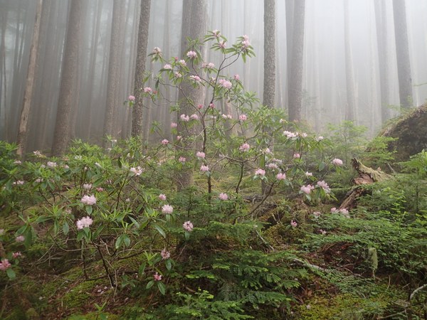
The trail to the Lake is well documented and accurate, the lower section has lots of trees to go under/around/over. Middle section is very pretty, with Rhodies in bloom, and nice creek with waterfalls. The upper section has the scrambling bits, the trail sometimes goes in several different directions, but if you are paying attention, they will all lead back together. Going up was no issue, but going back down after it had rained really got my attention (very slippery).
We had secured the group site at Lake Constance for our group of 6 (normally reserved for groups of 7 or more). It was tricky fitting 3 tents into the group site. And would have been nearly impossible in any of the other sites. I definitely would not take a larger group up here.
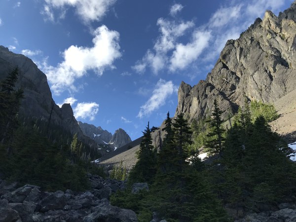
The next day, we headed up Avalanche Canyon and the South Chute, attempting to stay on snow for as long as possible:
At the top of the South Chute, the route goes down some snow, around a buttress, then back up on scree again:
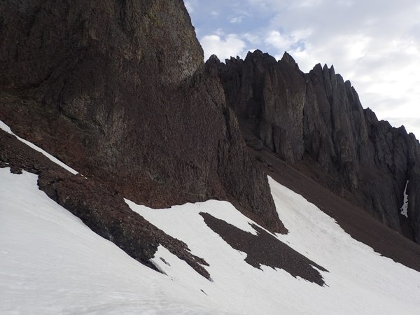
At the top of the scree field, you will be at the east-west notch, and need to descend a steep snow finger. We put on crampons for this part. In this picture, it is the left/tallest finger.
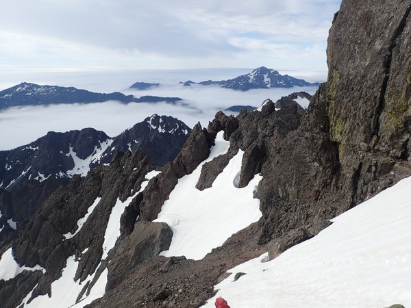
After that, we inadvertently passed by the finger traverse, and ended up at the top of the bypass route, which descends on the west side of the ridge, down a small chimney. We took off our packs and lowered them separately, but did not use a rope.
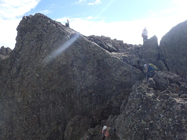
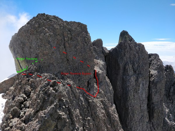
From there, we crossed another snow field and headed up to the ledge. It looks improbable from afar, but there is a wide enough ledge at the bottom of the greenish wall.
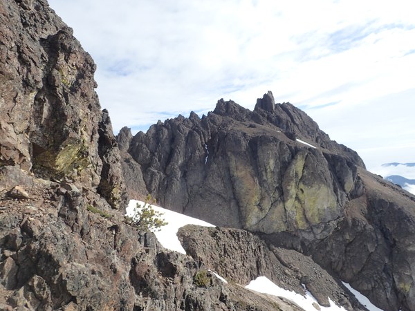
From there, we headed all the way to north side of the the peak and scrambled up to the base. A few class 4 moves are required for the summit. I setup a fixed line for those who wanted to descend with the rope, which myself and one other person used, the others downclimbed carefully.
On the way back we did the Finger Traverse, which we set up a fixed line for (note Terrible Traverse is the Australia-shaped snowfield). Bypass route goes behind and around the Finger traverse.
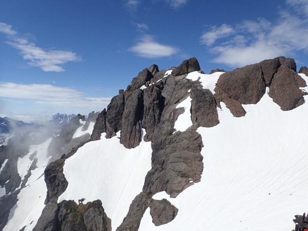
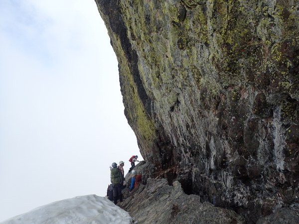
Descended back the rest of the way to camp, and it started raining shortly after we finished dinner. But thankfully stopped raining during the night. About 12 hours camp to camp, would have been much shorter (10 1/2 hours probably) if we had not done the FT on the way back.
Next day we were out in time for lunch at the 101 Brewery in Quilcene :)
 Tom Girard