
Trip Report
Basic Glacier Climb - Sahale Peak/Quien Sabe Glacier
Successful C2C summit of Sahale Peak via Quien Sabe Glacier, descending via Sahale Arm/Cascade Pass trail.
- Sat, Jul 20, 2024
- Basic Glacier Climb - Sahale Peak/Quien Sabe Glacier
- Sahale Peak/Quien Sabe Glacier
- Climbing
- Successful
-

- Road rough but passable
-
Boston Basin trail - typical overgrowth and slide alder. All creek crossings easily manageable. No snow in lower Boston Basin. Water available abundantly at Boston Basin camp and well above. Snow conditions were perfect for crampons through the entire Quien Sabe glacier and across the saddle. Quien Sabe glacier well covered with snow and all seracs easily passable. Transition from snow to rock at the saddle was very easy. However, the moat was very melted out on both sides of the crossing point. Short section of rock scrambling after gaining the saddle, transitioning back to snow for approximately 150 meters on the west side of the ridge and avoiding the cornice formed over the east side of the ridge. Summit pyramid was clear of snow and solid. 30m rappel to the SE side got us to easily-scrambled terrain to regain the Sahale glacier/snowfield. Snow was in great condition for plunge stepping. No bare ice encountered on Sahale glacier. Trail was cruiser from Sahale Arm to trailhead.
Pre-Trip:
Group camped at Glacier Peak Resort & Winery in Marblemount Friday night. Group gear was distributed and driving plans made to facilitate a smooth (and early) start.
Climb Day Start:
Group left campground at 3am and drove to Boston Basin Trailhead. Dropped off 3 climbers and gear and continued to Cascade Pass trailhead. Plenty of parking available. Left 2 cars at Cascade Pass Trailhead and took 1 car back to Boston Basin. No parking available in Boston Basin pullout but were able to park in another pullout 1/8 mile up the road and walk down.
Boston Basin to Quien Sabe Glacier:
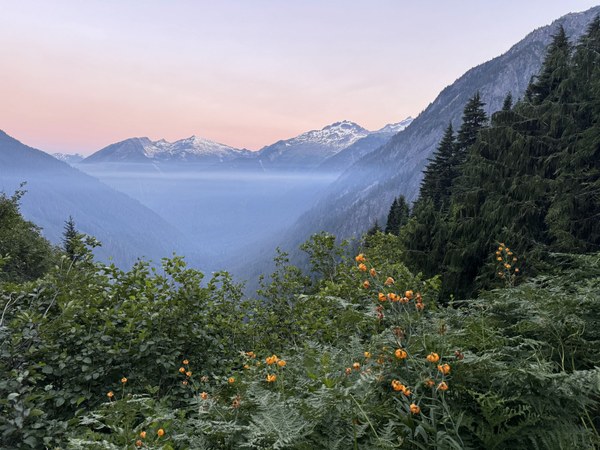
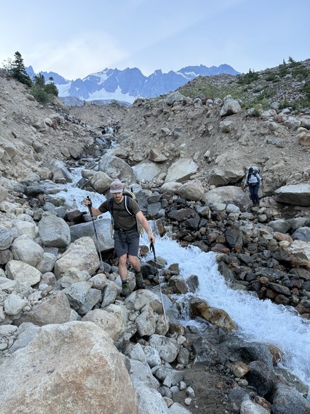
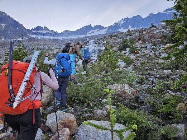
Started hiking at 4:15am. Weather was humid and there was a strong smell of smoke from the wildfires in the area. We cleared the layer of haze at approximately 4500ft elevation and this made the air and temperatures much more comfortable. The group made good time up the Boston Basin, reaching the climbers camp in approximately 2.5 hours. Stopped for a snack and layer adjustment. Scrambled up the slabs, using Sharkfin Tower as a reference point for a good spot to gain the glacier. Arrived at a suitable spot to transition at approximately 8:30am.
Quien Sabe Glacier:
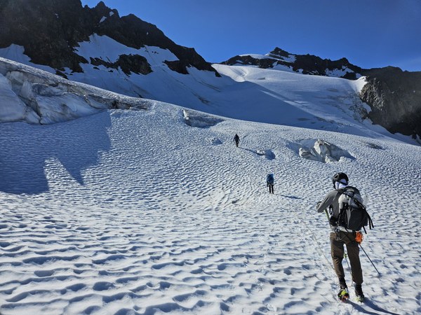
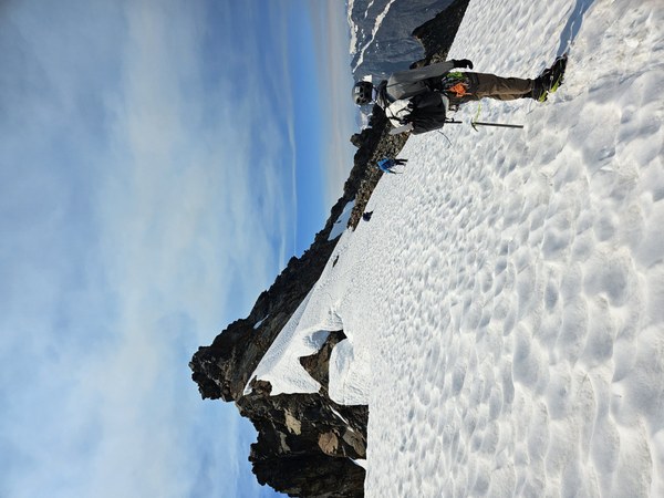
The sun crested the ridge just as we were putting on our crampons. We roped up, and started up the glacier. We were able to easily navigate between seracs and avoided a couple of small crevasses that were open along the route. No established bootpack, but a few faint impressions from previous climbers were visible. Once past the seracs and turning East towards the saddle, there were a few footsteps going left through a depression and then continuing straight up an incline and another set following a more natural line to the right up a snow rib. We opted for the line to the right. Once gaining the rib, we could see that there is a large crevasse to the right that is bridged with snow. The bridge was very solid and presented no issues, but as the season progresses this line may no longer be viable. There was enough of a bootpack leading from there to the saddle that brought us to a perfect exit point onto the rocks.
Saddle and Summit Scramble:
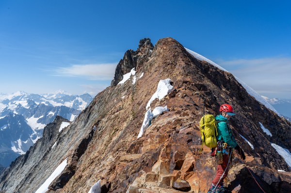
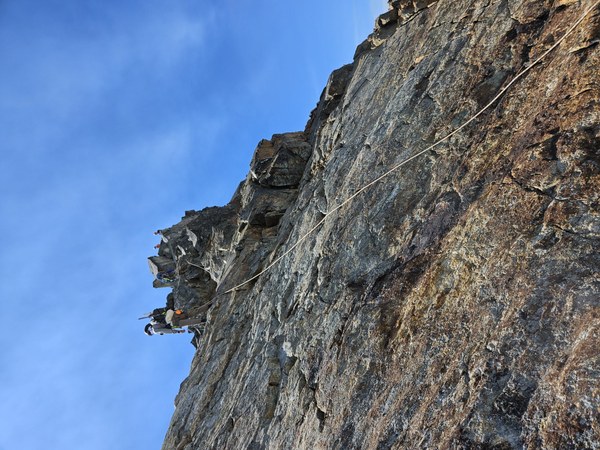
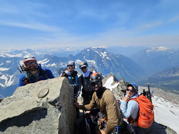
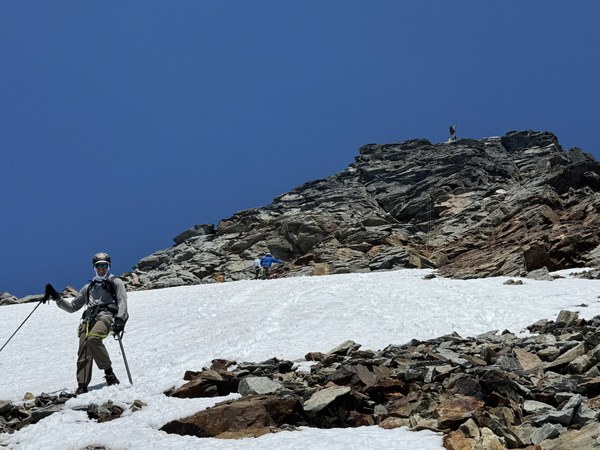
We stayed roped up and kept crampons on to scramble the rocky section before we transitioned to snow again. The scramble section is only about 100m and more solid on the right side of the ridge. We regained the snow for approximately 150m and traveled on the west side of the ridge, staying approximately 5 meters away from the ridge line to avoid the cornice. Once regaining the rock below the summit pyramid, we removed crampons, stowed pickets and axes, and prepared for the scramble to the summit. We stayed roped, as I planned on placing a few pieces of gear to protect the scramble. I scrambled the slab to gain the ridge line proper and placed a few cams in the blocky terrain leading to the summit. The final move to the summit (right of the prominent block in the center) was exposed but not difficult. Clipped into several new-ish looking pieces of cord are tied around a massive boulder on the summit and belayed up the followers. Rodica led the other rope team, clipping my gear and belaying the followers. There was one other party of 3 on the summit and 2 parties of 2 summited while we were on the summit block. We summited around noon. On the summit we could see a large plume of smoke rise up from the fires around Suiattle River Road and Glacier Peak Wilderness.
Descent:
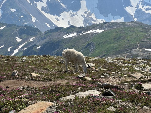
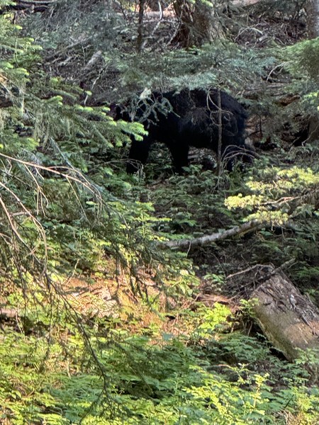
We stayed on the summit for approximately 1 hour as we had to wait for 5 climbers to rappel before we could begin our descent. Twin 35m ropes easily reached a flat enough spot to finish the rappel and scramble down to the snowfield. Once down, we stopped on the rocks below the snowfield for lunch. By this time, we could see a growing cloud of smoke coming up the Cascade River Valley and had gotten a report from one of the other climbers that local authorities were closing Cascade River Road. We made an efficient descent of the Sahale Arm, stopping once to refill water at a nice delta of runoff streams approximately 1000ft below Sahale Glacier camp. We saw several mountain goats on our way down the arm to Cascade Pass. We took a quick break at Cascade Pass and met a pair of climbers who were advised by Rangers to abandon their Ptarmigan Traverse plans and had hiked out from Kool-Aid Lakes. They advised that an evacuation order was in effect and that we would be able to get out. We moved as quickly as our tired legs would allow to descend to the trailhead. We had to make a quick stop about halfway down, as we encountered a bear foraging berries on the trail itself. After giving the bear some space and making a lot of noise, the bear moved uphill and we were able to scoot by without incident. We arrived back at the cars around 6pm. We shuttled everyone back to Boston Basin, and then drove out together. There were 2 separate checkpoints along Cascade River Road to stop any incoming traffic. We also passed several police vehicles heading up the road.
A great climb from a strong team. Beautiful weather despite the smoke. Near-perfect conditions the whole way.
 Joshua Taylor