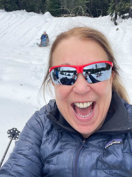
snowshoe.jpg

Trip Report    

Basic Snowshoe - Reflection Lakes

Enjoying the peace nature brings can create a harmonious, calming balance between unknown winter trail conditions. This snowshoe route however always brings holiday cheer and solitude to me. Being loaded with the element of surprise of not having any trip reports made my mentored snowshoe trip even better in my mind. The element of potential adventure and having to problem solve on the trail, is why I would give it 5.

  • Road suitable for all vehicles
  • A warming trend kept most of feeling quite cozy this last day of autumn as we ventured out with our snowshoes today.

    PASS use your interagency pass, senior pass or paid pass to enter Mt Rainier National Parks Nisqually entrance. Try to arrive earlier to use the amenities and not get stuck in line of cars prior to Longmire.

    GATE ENTRANCE the upper gate opened at 9 am. The times are published the evening prior between 4-5 pm with any last minute changes again at 7 am HERE The upper gate to Paradise is closed Tuesday-Thursday this winter season due to a staffing shortage. Chains must be carried in your vehicle.

    PARKING Narada Falls parking lot had one car when we arrived at 9:30. Icy patch lingering from last week and a warm bathroom nearby are part of the amenities. Parking lots have been treacherous lately. 
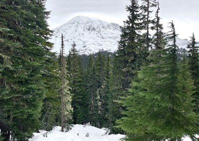
THE TRIP After reviewing the terrain topo map around Stevens Canyon Road and re-reading my trip report of observations on March 30, 2024, we choose to break trail up the well marked Mazama Route then drop down to Reflection Lakes via Lower Lakes Trail for an out and back avoiding a rather large terrain hazard. Being the first group out after the Tue-Thurs three days of closure, made for route finding and trail breaking. We all enjoyed taking a turn in front making the work easier. In total approximately 2 miles of trail breaking (5 or so inches of new snow) made it a good first trip of the season for many.

Climbing from the Stevens Canyon intersection, then following the road a short bit we finally headed up over the ridge and then down to the lake. Good thing the trail markers had just been put in. At other times in the past I've used Gaia as well and my saved gpx from a previous trip to confirm where we were headed.

HAZARDS Avalanche report from NWAC was considerable, wet slab, south facing slopes all areas, so we choose the preferred safer route. Tree wells were avoidable. A bare bare spot here and there were easy to avoid indicating some water underneath could be moving under a thin layer of snow (my leg went through one spot).

SUMMARY This snowshoe is on my list each year; sometimes I go more than a few times. In particular this year made it special because we had no trip reports to go by except for a plan we made and a discussion with the ranger 3 days earlier. I actually ended up making more than several plans then opted talking about the many surprises that could make it adventure. Luckily my slightly adjusted first plan worked out with the weather and the conditions.

My mentored snowshoe trip is in the books; the element of adventure is why I would give it 5. Maybe that is why my mentor kept close tabs on me even during lunch.

IMG_4147.jpg

3.5 miles- 682' elevation gain and a lot of solitude. Strava Link