Trip Report
Basic Snowshoe - Wenatchee Crest
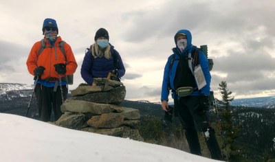
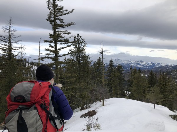
On an overcast day, the 3 of us ventured up the less travelled Wenatchee Crest ridge line - pretty much the county line- to Cairn Hill. The undulations of the ridge provided a good workout with peek a boo views of part of the Stuart Range and SW towards Manatash Ridge.
- Sun, Mar 21, 2021
- Basic Snowshoe - Wenatchee Crest
- Wenatchee Crest
- Snowshoeing
- Successful
-

- Road suitable for all vehicles
-
Snow depth ranged from bare ground on the southerly wind swept, sun exposed face of the ridge, to a few feet on the lee, shaded, north side. Typically on the ridge, there was 12-18” depth. On the lee, shaded areas experienced what the NWAC forecast described as “faceted out” snow. Not crusted, nor powder any longer.
The temperature ranged from 26 degrees to a high of about 33 degrees- so we did not experience snow degradation that might have occurred if the sun was out, and the temps had risen into the 40s.
We did find a cornice on the lee - north side- of Cairn Hill. It would appear to a concern with greater warming of releasing.
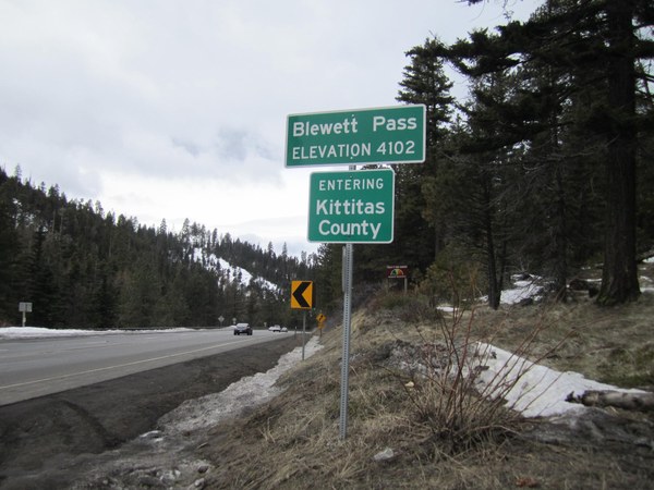
Road conditions on Highway 97 were dry and bare.


Set out at 8:50 am. We boot packed from the parking lot up to the junction with Scotty Creek and XC800. At that point we put on the snowshoes, and departed the concrete road route, and headed up the ridge towards the ponderosa pines on the first of several knobs.
The snow was not deep, with more recent snow very shallow, and faceted out- but supportive, so even though there was not an established trail, breaking trail was not a factor.
The first knob affords glimpses north to the Stuarts, and south to Diamond Head and Windy Knob- views that are better revealed at the second knob. On this day clouds obscured any volcano views, though nice panoramas of the area were visible under the mostly high cloud cover.
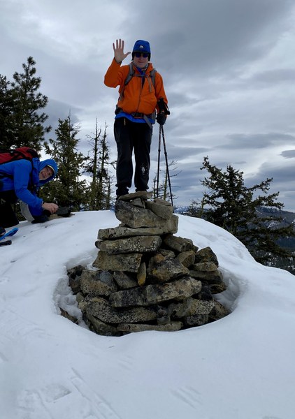
We hung out a short time at the Cairn for some views and photos. Discussed options - such as descending the west ridge to the road, but opted to return the way we came. Arrived back at the cars 1:00 pm
My GPS track showed a round trip of 4.24 miles, total ascent of 1300+ ft. Low point at the pass of 4104 ft, high point Cairn Hill at 4780ft.

 Jimmy Klansnic