Trip Report
Basic Snowshoeing Equivalency Field Trip - Pod Version - Commonwealth Basin
Basic Field Trip for Equivalency candidates up the Old Commonwealth Basin trail, then across the creek to the central ridge. Ventured off trail to enjoy the trees and for skill experiences.
- Sat, Mar 13, 2021
- Basic Snowshoeing Equivalency Field Trip - Pod Version - Commonwealth Basin
- Commonwealth Basin
- Snowshoeing
- Successful
-

- Road suitable for all vehicles
-
On trail about 8:50 am temps around 29 degrees. After warmish days prior, and overnight freezing, there was significant crust built off trail. The trail was well packed.
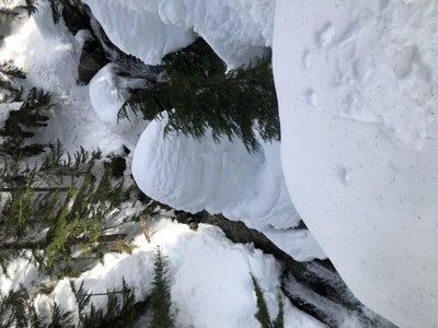
At the first log bridge, with a towering, narrow, pile of snow- collapsed largely on the west side we elected to move on up creek further. We did find more substantial crossing further up in the flats below the main trail. This served us well on the trip out, and back.
I believe the temps at time of our down travel to be near 50 degrees, and the crust was notably softened. As we arrived at the final descent on the well packed trail, we found some slipper areas as the packed track surface was well used, and losing some cohesion.

We met 8;00 am the Traveller's Rest, then proceeded to the Summit West parking lot. The lot was already filling!
We elected to travel uphill off trail as we neared the basin to work on skills on untrammeled snow. We found good enough spots in the dispersed trees to work on kick steps uphill, downhill steps (not enough pow to really plunge step) and experience achieving nose-knees-toes to keep footing, side steps, traversing, walking in balance and "road" building.
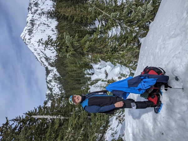
We stopped to view the falls, always a nice treat. Then worked up to crossing the creek. We traipsed over to the base of the central ridge, and found no recent trail built up at that point, rather the built route ran to the west of the ridge. We elected to follow this route. It proved quite nice wandering up to the east foot of Guye Peak, and along the creek west of the central ridge. This eventually climbed up to the ridge elevation, and met with the the flat area that was our lunch objective. 3870 ft. Arrival 11:50 am. Lunch time with splendid views in the sun.
We returned down the central ridge about 12:50 pm. That trail was largely covered, not recently traipsed, though it was discernable at times. We decsended the foot of the ridge, and met up with the uphill trail route, and traced our way back to the trailhead as we had come in from there. GPS track later downloaded showed 6.2 miles total travel.
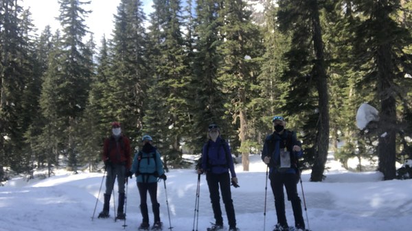
All agreed it was a very nice day for our small group of 4 to travel up the basin with sun, and good cheer!

 Jimmy Klansnic