Trip Report
Beginner Snowshoe - Golden Gate (winter)
We went into Edith Basin, crossing Edith Creek on the bridge above Myrtle Falls, then generally followed the Golden Gate trail to about 5,920'. We turned left, heading toward Glacier Vista. Snowfall and wind increased, visibility diminished, and we went back out the way we came in.
- Sun, Mar 12, 2023
- Beginner Snowshoe - Golden Gate (winter)
- Golden Gate (winter)
- Snowshoeing
- Successful
-

- Road suitable for all vehicles
-
Mostly deep, well-consolidated snow pack. Probing to ten feet in many areas did not strike ground. Well-traveled broken trails were established on usual routes on this Sunday. Considerable new snow had fallen since previous weekend, and several inches in places overnight. More new snow was falling while we were on the trail.

We met at Longmire at 8:30, to find that the gate was already open. Chains were required above Longmire on 2WD vehicles, so we organized into AWD for the drive to Paradise. The parking lot at the Jackson Visitor Center had surprisingly few cars. Our group was a full complement of twelve, including two Assistant Leaders: Katherine Forsyth who met us at Paradise, having camped out in the area the night before, and Glauco Ferrari.
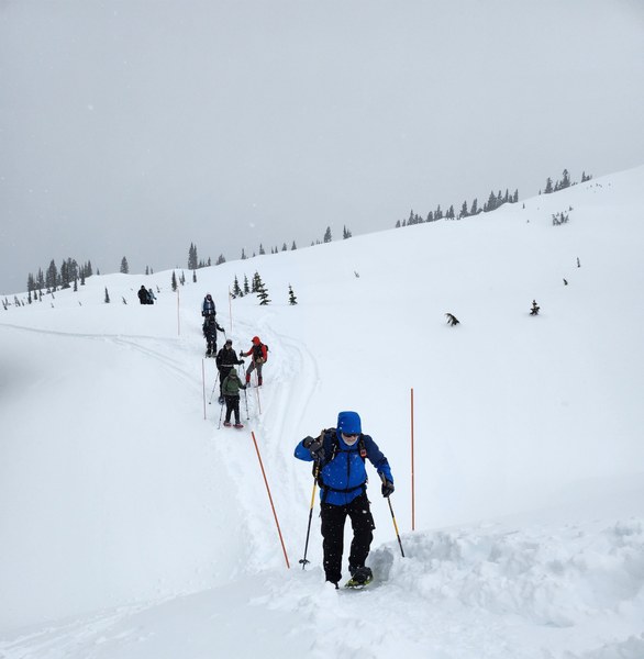
Temperatures were in the mid-twenties, but wind was brisk, making for chilly conditions. We headed east on the Skyline Trail, above the guides' house and the National Inn to the Edith Creek drainage. We crossed Edith Creek just above Myrtle Falls on a trail bridge well buried under several feet of packed snow. On either side of the bridge, much snow has drifted into the gorge, nearly filling it to the height of the bridge, but the beaten track over the bridge is the safe route. This is marked by pairs of orange poles, or wands.
Crossing Edith Creek at the Myrtle Falls bridge, between the wands.

The Golden Gate trail ascends from this creek crossing, gradually and steadily climbing up Edith Basin. On a clear day, we would have had views of the Rainier summit on the left, and the Tatoosh Range on our right. With low clouds and falling snow, our visibility was limited to the slopes of Edith Basin.
Posting this as a "Beginner" snowshoe trip was intended to open it to those who have some snowshoe experience and sufficient basic skills and stamina for a trip in the upper end of "easy" to lower end of "moderate" difficulty range, including those who do not yet have basic or higher snowshoe badges. A trip with this rating is likely to get a wide range of skill and ability, with the leader's permission requirement and vetting ensuring at least the minimum necessary ability. Two assistant leaders were scheduled on this trip to help deal with the variability in pace which might be experienced, and to have a leader close to everyone in the group, as the line of twelve trekkers stretched out from time to time. The leaders carried two-way radios, and used them occasionally, mostly for communication between the sweep and the head of the line. The assistant leaders on this trip had rather high levels of mountaineering training and experience, and were able to offer some specific technique coaching as well as general encouragement to some of the less-experienced participants.
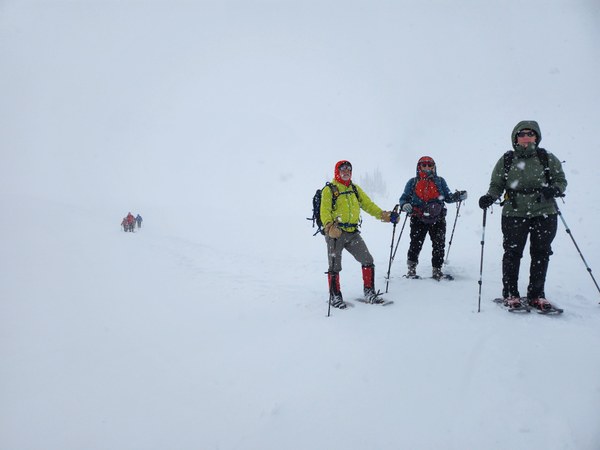
Near our 5,920' snacks and drinks break:

At 5,920 feet, we stopped and put on a layer for snacks and drinks, and for the slower end of the group to get caught up. The Basin at this elevation is mostly open. We gathered out of the full force of the wind, stamping out an area on the downhill side of a tree well a little on the lee side from the top of a small ridge. Plan A was to continue ascending in the basin, turning to the left and the northwest, crossing Edith Creek again near 6,000 feet. If conditions looked good, we could continue in that general direction toward Glacier Vista, and have the option of taking our own route back, or looping back on the Paradise-Camp Muir route running past Glacier Vista.
A big consideration was avalanche danger. According to the NWAC forecast, the danger level was "considerable", meaning it was likely that humans would cause small to large avalanches, and that some might naturally release, on avalanche terrain. Our plan was to stay out of avalanche terrain (slopes of more than 25 degrees, and the area of likely avalanche runout at the bottoms of those slopes). On a topo map, a safe route can be planned from Edith Basin up to Glacier Vista, staying out of avalanche terrain. In the field, this planned route would then be correlated to the terrain, chiefly by observing the nearby slopes, estimating their gradient, and keeping a safe distance by visual estimate, while following an intended track by reference to landmarks. This can be supplemented by tracking and recording on a GPS plotting app on a cell phone. GPS is highly accurate in most areas, but anomalies may be experienced around steep slopes and structures, and any electronic device may suffer a component failure or other malfunction. Accordingly, one should avoid relying on GPS as the sole means of navigation or of avoiding dangerous terrain. If visibility drops below the necessary minimum, GPS is highly accurate for following a recorded track in the return direction, returning on the route one used coming up and presumably determined to be safe when one still had visibility.
We had some wind and falling snow, but enough visibility to see the walls of the basin. In the distance, we could see the "saddle" over which we would have to pass to get up to Glacier Vista. Some earlier pace issues had improved, in part thanks to coaching by assistant leaders, and the group seemed sound to make the climb to Vista Glacier. On discussion, a group consensus was reached to continue up. We were then at 5,970 feet and almost at Edith Creek.
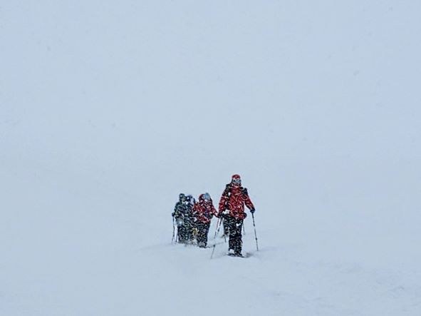
Almost as soon as we finished this conversation, the wind picked up and the rate of snowfall increased dramatically. Visibility immediately dropped to a few hundred feet at best. The crest of the saddle which had beckoned to us a few minutes before was completely invisible, as were most of the basin walls and slopes. Now we had to have another conversation. A number of concerns were voiced. The foremost one was that our plan for avalanche safety, in the vicinity of avalanche terrain in conditions of "considerable" avalanche danger, was to stay away from the avalanche terrain and runout areas. The way we planned to do this required seeing the terrain before getting into danger areas. A GPS app, in a situation like this, is a good aid for getting out of questionable areas. Using it to get deeper into questionable areas may be a mistake. Several vetoes were voiced, and in a situation like this, the decision is by group consensus: no veto gets overridden. Our decision was to head back out the way we came in.
We followed our tracks back down the basin. Of course, the wind and snow eased up on our way down. We crossed Edith Creek again and arrived at the Visitor Center, and wrapped up the official part of the trip. At lunch, it was noted that this trip filled the requirements for one more member of this year's Basic Snowshoe course to get the badge. A few of us went back out after lunch and snowshoed a loop above Paradise, running into Anna Marie, a snowshoer from Munich, of advanced years, and a cheerful regular on the mountain.
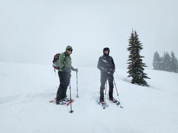
Our group on the trail, vicinity of Edith Creek, 5,970' elevation:

 Mike Forsyth