Trip Report
Chair Peak/Voie de Chaise
A fun sport route up Chair Peak with ample opportunity to bask in Snoqualmie splendor.
- Sat, Jun 29, 2024
- Chair Peak/Voie de Chaise
- Climbing
- Successful
-

- Road suitable for all vehicles
-
GPX track: https://caltopo.com/m/96FEUP1
Snow is melting quickly and forming creeks under snow fields.
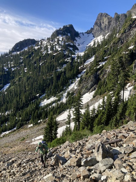
Approach to The Tooth pictured here. Much less snow compared to just 2 weeks ago. Multiple small water crossings on the route, then hiking up talus, questionable snow bridges, more talus, then a long snow field all the way to the base of the climb. It looked like there hadn't been many parties heading to Chair Peak recently so we had to do some route finding and nearly got lost in the scree. You don't want to go too far up the scree after crossing the big creek (47.457600, -121.457400 is too far uphill).
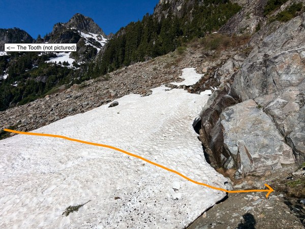
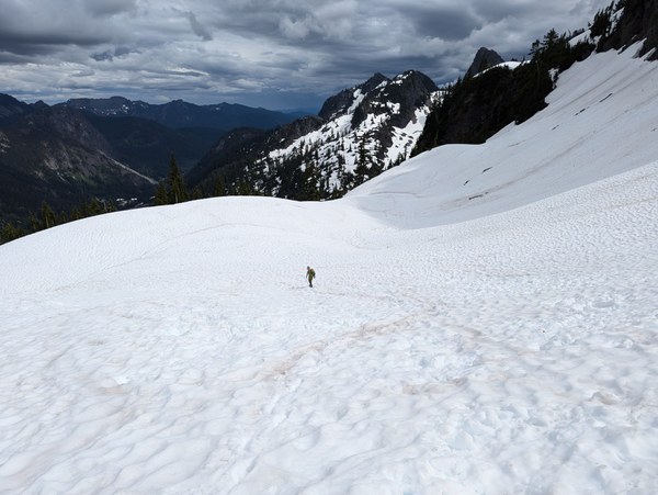
Leave the scree and cross a snow field to the trail. This photo was taken at 47.45780, -121.45630 Be very careful crossing any snow fields. Poke around and step cautiously. Some areas look deceptively sturdy but are actually on the cusp of failing.
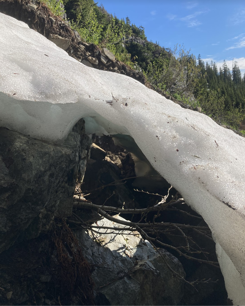
Just a few inches between you and the air beneath Part of pitch 1 is under the snow, so the first bolt you'll see if you're going in the next few weeks is at right your feet.
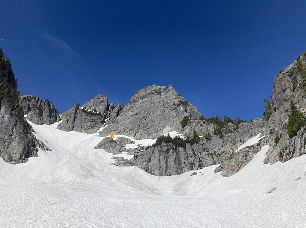
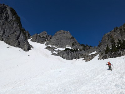
Beginning of the first pitch at the base of the snow field (orange star)
Voie de chaise
I had a great time climbing The Edge of Time Arête on The Fang a week ago and wanted to check out the other bolted climb that was put up in the past couple years -- Voie de Chaise.
I underestimated the approach to Chair Peak. I kind of thought it'd be about the same as The Tooth but this approach and climb felt longer and more remote. There was one other party that we saw the entire day, who climbed a different route (NE Buttress) on Chair.
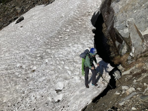
Following this unmaintained trail, eventually reach a big snow field and go directly up and leftward toward Chair Peak. It turns into boulders which I recommend over the thinning snow where punching through might get dangerous.
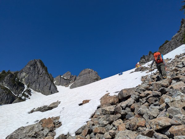
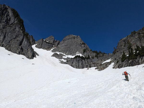
The climb itself is fairly straightforward and goes by quickly. The crux pitch was enjoyable and well protected. Most of the route is fairly low angle and jugs are everywhere. Pitches 6-8 have quite a bit of loose rock still, so be very careful if climbing this route on a busy day. We fortunately were the only party on the route.
Last pitch (P8) is kind of weird. I think there are 3 bolts visible from the belay, then the climber goes up onto the other side and descends a tiny bit, before traversing (clip 1 bolt) to a tree with slings.

The last scramble to these summit is supposedly class 4 but it felt lower than that. It is wide and not exposed, like walking up a blocky staircase, and then the summit has plenty of space for several folks.
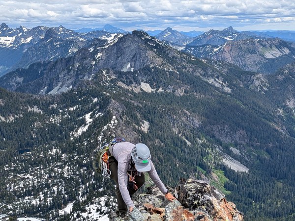
Standing up on a narrow part of the summit. Person taking the photo is on a nice flat area.
Down climb and follow the trail from the summit back to the tree with slings, and either carry the rope or down lead it back to the top of P7 anchors with chains. Then do a series of rappels all the way to the base. 70m rope highly recommended, as a 60m may come up a little short on some of the rappels.
The hike out was largely uneventful but required some extra cautious stepping as the snow had softened considerably.
Thank you Tino Villanueva and Ian Nicholson for developing this route!
Timeline
6:40am Departed Alpental parking/Snow Lake TH
7:20am Reached Source Lake/Snow Lake fork
10am Reached base of climb
1:20pm Summit
3:10pm After many rappels, back to base of climb
5:20pm Back to Source Lake/Snow Lake fork
6:00pm Back at car
 Isley Gao