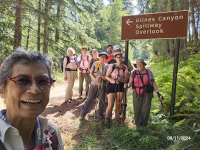
Trip Report
CHS 1 Hike - West Elwha Trail
Hike thru lush forest on trails, boardwalks and log bridges to Glines Overlook viewpoint to stand 200 ft above the breached former dam. Continue on the upland, forest trail or Smokey Bottom (lake bed trail) to Boulder Creek to observe the restoring ecosystem.
- Sun, Aug 11, 2024
- CHS 1 Hike - West Elwha Trail
- West Elwha Trail
- Day Hiking
- Successful
-

- Road suitable for all vehicles
-
- Trail starts on private property. There are 2-3 parking spots, also on private property.
- We convened at Madison Falls TH to consolidate vehicles. This TH is on the opposite side of Elwha River. Ample parking and a vault toilet. USFS/National Park pass required to park there. From there, it's a 10 minute drive (5 miles) to W. Elwha TH on paved roads.
- From W Elwha TH to Glines Overlook, the trail is well-trod and easy to follow. At 3.5 miles (at bridge over Elwha R), it joins the trail from the Madison Falls TH and the combined trail continues to the Glines Overlook.
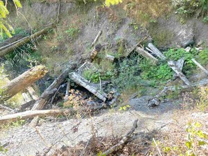
- After Glines Overlook, both the forest trail and the lakebed trail are overgrown. On the upland forest trail, at the first drainage (Stukey Creek), we had to turn around before reaching our destination (Boulder Creek) because the log bridge (if there ever was one) was washed out. There was only a tumble of woody debris. While nimble folx could have made it across, such was not advisable for our group. There was evidence that either humans or animals had previously crossed this drainage - so it could be done, I suppose.
- At the entrance to the Smokey Bottom trail (lake bed trail), there's a sign dated late July regarding a cougar sighting and warning not to hike alone.
- Picture of woody debris in Stukey Creek
- Beautiful forest walk. Rainforest trees with long drapes of lichen. Sun dappled boardwalks.
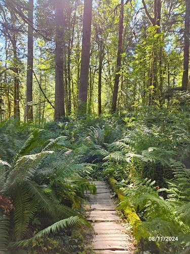
Sun dappled boardwalk cushioned by tall ferns - It's ~5.5 miles to Glines overlook (per Gaia track). It's tempting to stop for lunch at the former Altair campground. There are picnic tables and view of the river. But we resisted, had a snack & bio-break here, then continued on. It's less than 1.5 miles to the overlook, walking on the old Olympic Hotspring road the entire way (i.e. easy and quick).
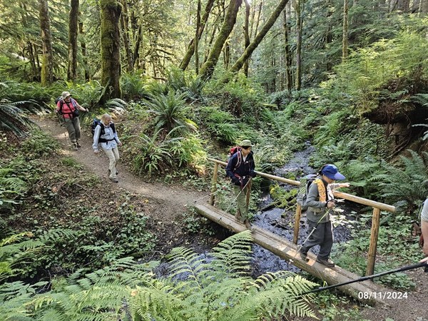
There were several log bridges in the 1st 5 miles of the trail. - The Glines overlook provides an incredible view of the Elwha gorge down-river of the breached dam and, up-river, of the lovely meandering river. Overlook is built on the top of the dam; so, the river is 200' below with a brisk wind coming up the gorge. There are a lot of information signs and also audio kiosks documenting the history and process of this historic dam removal and recovery process. Worthwhile to linger here. It's amazing that salmon starting returning within 1 year of dam removal. Wow.
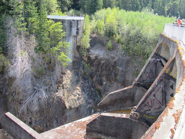
Glines overlook atop the former dam. River is 200' below. - From the overlook, we continued on the upland forest trail. In less than a mile, we had to turn around (see route conditions report, above).
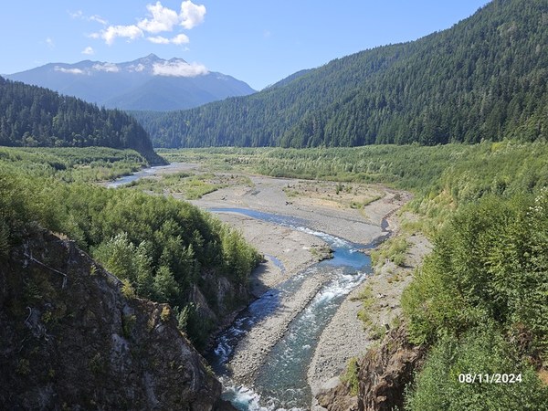
Elwha River meandering through the recovering ecosystem in the former Lake Mills lake bed - We walked a very short section of the Smokey Bottom (lake bed) trail to see what the ecosystem looked like. Although it was too overgrown for our group, it was a pleasure to stand amongst the thick stands of tall saplings taking over the previously flooded area. There's a sign warning hikers that it's a restoration area and to stay on the trail. Yippee - the success of ongoing restoration work is obvious. Welcome back, salmon, eagles, bears and cougars!
- Don't be fooled by the vaults toilets at Altair campground or the Glines overlook. These are no longer maintained and both are locked.
 Roseanne Lorenzana