Trip Report
Climbing Conditioner - Poo Poo Point via Chirico Trail
Fallen trees in the dark were a challenge; but good company made it a delightful adventure.
- Thu, Nov 21, 2024
- Climbing Conditioner - Poo Poo Point via Chirico Trail
- Poo Poo Point via Chirico Trail
- Day Hiking & Climbing
- Turned Around
-

- Road rough but passable
-
Road into Issaquah was slow, with some downed trees in the aftermath of the Bomb Cyclone; Front Street was entirely un-illuminated, with patchy cell signal. The trail itself was good for the first mile or so before the fallen trees started. A hundred yards after the South Viewpoint (and hang-glider launchpad), we had to turn around after a particularly-dense obstacle.
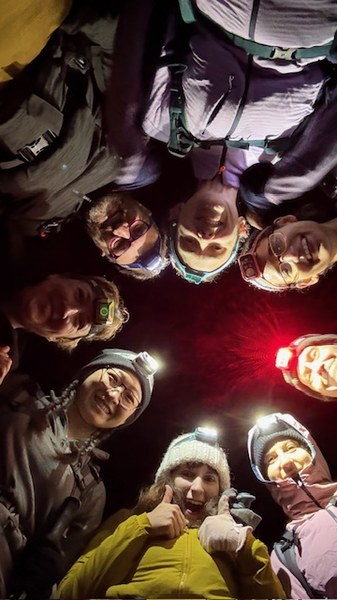
A wintertime conditioning hike comes with a few expectations. With sunset at 4:30 pm, a trip that starts at 6 is going to be entirely lit by headlamps. In late November, it will probably rain. Still, climbers need to get in their conditioning, and so our trip leader, Renee Stern, gathered hardy (and perhaps foolish) group to climb the Chirico Trail to Poo Poo Point for an evening trip.
Chirico Point is a front-country hike: the parking lot is on Front Street, just out of Issaquah; the trail is well-maintained, popular for people carrying paragliders up the hill as well as people just out for a training climb.
While we had expected unpleasant weather, we did not count on the after-effects of the "Bomb Cyclone" of November 19, 2021. Issaquah was still largely without power: none of the shops and storefronts, streetlights, or traffic lights were lit along Front Street, and cell service was extremely patchy in places. Google Maps was sending some cars off on side streets, some of which had downed trees or other obstacles.
Conditions were good at the trail itself. Rain that had been threatening all day faded away; the parking lot was clear; no hang gliders were attempting to cross the trail.
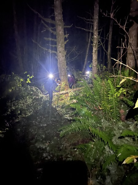
The cyclone had, however, downed a lot of trees. Starting about half a mile into the trail, we found ourselves climbing over and under a series of trees. None of them were impassable, but many were annoying. (After the fourth or fifth tree, I dumped my water weight, which made crossing trees much less annoying.)

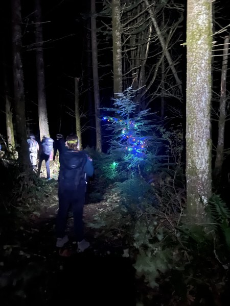
About a mile in, we found one tree that someone had decorated with Christmas lights. We're grateful for our surrealist benefactor, who brought a weird bit of joy to a challenging hike. (I'm so curious! Were they expecting night-hikers? Did they climb over fallen trees, just like us, and pick that particular one?)

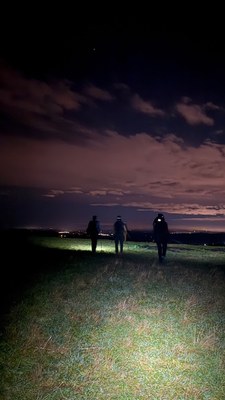
At 1.6 miles, the trail opens for the South Viewpoint and paraglider Launch. We stopped there for a moment, and spotted reflective deer eyes in the dark. Not far past the South Viewpoint, there are many downed trees -- enough that we couldn't easily scramble past them, especially not with a headlamp. We regretfully turned back, a few hundred yards short of our goal.

The way back was fast, and its somehow often easier to cross a fallen tree going downhill than going up.
Thanks to Tatiana, our social media manager for the trip, for most of the attached photos.

 Danyel Fisher