Trip Report
Day Hike - Capitol Peak
A rather unique hiking experience in a rather unique place!
- Sun, Sep 3, 2023
- Day Hike - Capitol Peak
- Capitol Peak
- Day Hiking
- Successful
-

- Road suitable for all vehicles
-
A mix of paved and unpaved roads. Some unpaved roads (ones we did not use but crossed on foot) are rough and may require high wheel base vehicles. The trails we used are in good condition considering that some stretches are heavily used by mountain bikers. The entire area is a maze of roads and trails. GPS is needed, or map and compass at a minimum to stay on route. On-going logging activity could change trails and/or roads and would not appear on recent maps.
Link to gaiagps.com track: https://www.gaiagps.com/datasummary/track/f4cabf5f26d2b38526fbe21eb8324d29/?layer=GaiaTopoRasterFeet
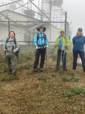
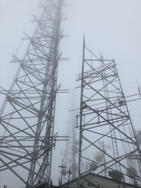
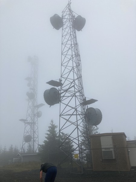
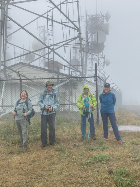
The trip listing mileage shows 14.3 mile rt. Our trip was a loop totaling 17.6 miles with 2400' gain. It was a good endurance test without having to deal with heat. The day was foggy, cloudy, damp, wet, and chilly but it never actually rained for more than a few minutes. Our summit was cold and windy, so we spent only a few minutes admiring the towering micro-wave towers that grace Capitol Peak's summit.
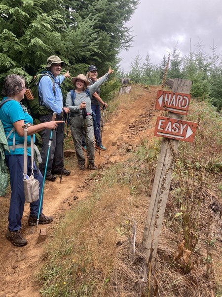
Tough choice:
Overall, a good day and great workout on trails through a few remaining pretty forested areas. It did remind me, however, of reasons I don't otherwise hike in Capitol State Forest: massive clear-cuts, minimal scenic views, shared use with mountain bikers, and ATV's (on some trails). Also, a disturbing thing to note is the very frequent sound of guns, some quite loud and close, throughout our hike. Shooting is apparently allowed, although it is not clear if official target practice areas exist.
 Nancy Lloyd