Trip Report
Eldorado Peak/Inspiration Glacier
Started with wrong information about creek crossing. Found correct one coming down. Shared it below. Did not summit due to weather.
- Thu, Jul 8, 2021 — Fri, Jul 9, 2021
- Eldorado Peak/Inspiration Glacier
- Climbing
- Turned Around
- Road suitable for all vehicles
-
This part of TR is mainly for creek crossing. We started with wrong information near the washout area and ended up spending 3 hours bushwhacking and crossing small streams to get back on trail :(
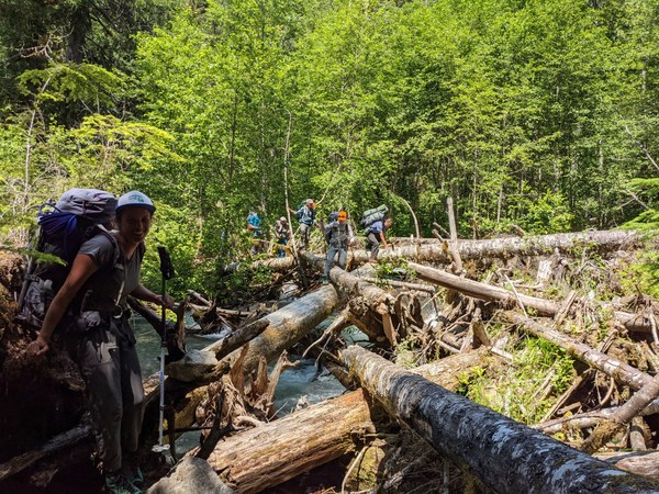
Coming down we took the correct creek crossing path which felt the breeze. There were 3 logs involved. All in good shape.
Waypoint from road to start creek crossing: 48.49259, -121.12462
Mija added orange tape on tree branches at this waypoint. Hopefully you find it! Adding picture of the better log crossing (which we took on return) from road side:

This crossing is before the restroom for Eldorado TH. Just after the board “Road machinery ahead.” This board is currently present but could be removed.
Waypoint to come back from trail to road: 48deg 29’ 35.99” N, 121deg 7’ 30.55W
Also be aware there is a bear enjoying berries just across the creek crossing area. We spotted it both days. Marmots approaching closer to camp for food. Carrying bear canister for food is recommended.
Remaining route is in good shape including glacier(based on other teams whom we met on mountain)
Sharing complete TR:
Party of 9 met at ranger station at 8 am. Picked up permits and headed to TH. Road is closed 2 miles before TH. We reached the washout area around 9:40am. We started scouting creek crossings and we were told that a party of 2 crossed creeks ahead. We found one which was next to the campsite on the left. We spotted 2 bikes parked as well. We started the 1st log which was good and soon we got ourselves into overgrown logs and surrounded by Devil’s club. Do not recommend taking this. I have shared the correct creek crossing way point above.
We connected back to the trail around 12:50PM so lost ~3 hours.
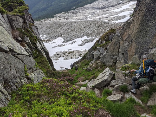
Once on trail we started a slow ascent. Boulder field was straightforward with cairns. Lots of water resources between boulder fields to camp. No snow in the boulder field. Spotty snow started around 5500ft and present till gully to downclimb. Gully is solid and completely snow free, once you are down a continuous snowfield starts.

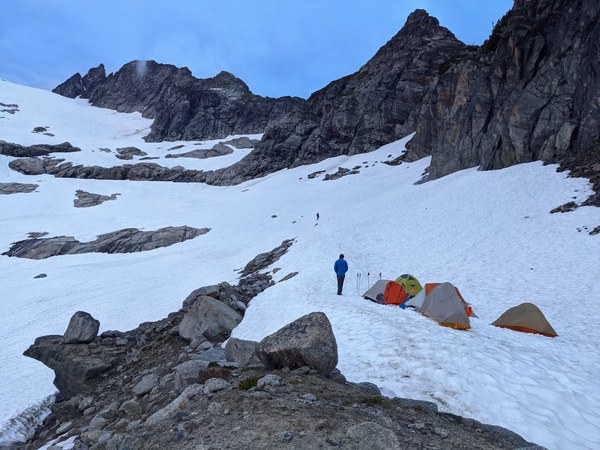
We camped around 6100ft on snow. We reached camp around 6:30PM. As we were approaching camp we could see clouds coming in and could hear thunder but it did not rain on us. We met another party coming down around 8PM and they mentioned they got stuck in a thunderstorm on the upper mountain.

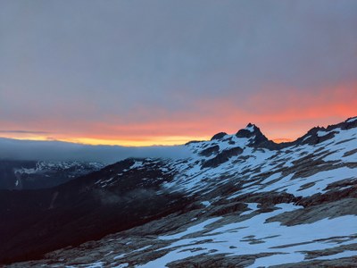
We went to bed with a beautiful sunset and decided to start at 4 am. We woke up with calm weather around 3:30 am but soon it turned around 15 MPH winds and passing clouds with whiteout. We decided to wait for some time(~30 mins) to observe the weather. The forecast (which we also checked via inreach) predicted no wind and clear sky. The wind did not die down and intermittent whiteout with clouds movement remained. Not everyone in the group felt psyched about the weather so we decided to stick together as a group and called off the summit attempt.
We started breaking camp around around 7:30 am. Wind died down by then but intermittent whiteout remained. Coming down was uneventful. We met another party coming up near the creek crossing area and they shared a waypoint. We followed it, met the bear very closely. We lost direction a few times as there was no well beaten trail. Make sure to follow the waypoint all the time. We crossed 3 logs and all seemed to be in good shape. Back to cars around 3 PM.
 Pradnya Mohite