Trip Report
Eldorado Peak/Inspiration Glacier
One day climb with clear skies and views of the casades
- Sun, Jul 14, 2024
- Eldorado Peak/Inspiration Glacier
- Climbing
- Successful
-

- Road suitable for all vehicles
-
Cascade River Road is open and drivable by all passenger vehicles. No high clearance or AWD needed.
The route itself is in very good shape. No snow until around 6200'. Approach shoes and poles recommended for the long dirt/boulder climb before the snow and glacier.
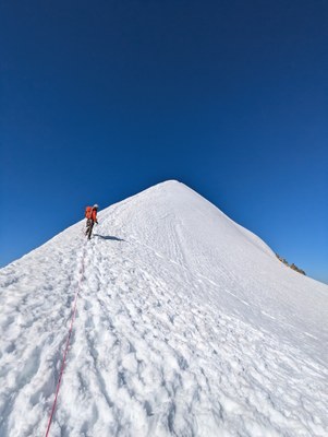
No open crevasses on the route. No extra zig zagging, just following the route along a prominent boot pack. Ridge traverse well stomped with a nice spot to sit on the rocks at the end.
GPX track: https://caltopo.com/m/N12G1E9
One day climb with Yash and Xander.
Parked at Eldorado trailhead around 8/9pm the night before to get a nap in before our 2am start.
Xander scouted the water crossing ahead of time, which requires walking west on the road for a bit until reaching a pink flagging, cross the river over a series of fallen logs, then double back toward the main trail.
Trail climbs steadily through trees and boulders from 3950' to 5080', through a few patches of snow before crossing over the ridge at 6130' (48.51611, -121.12053). Beautiful views all around.
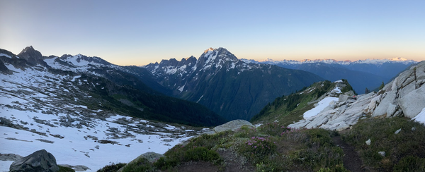
Down scramble a bit from here to the other side of the ridge. My group decided to change out of approach shoes and put on mountaineering boots here since the snow field begins. We put on crampons and roped up here as well.
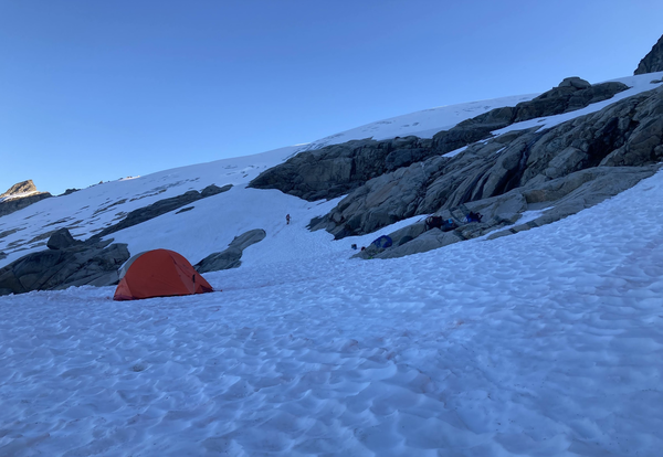
Follow the obvious boot pack around the rock spire and eventually make it to the main camp (48.53565, -121.12280). There are multiple rock walls built around tent platforms and someone mentioned even a bathroom. People were camped on both rock and snow.
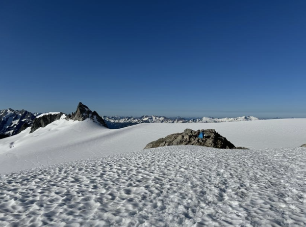
Ascend the knife edge ridge and at the end, reach a pile of rocks. There was no summit register and I'm not actually sure where the true summit is since the snow ridge is technically higher than the rocks, but the rocks had a few good places to sit and eat snacks at.
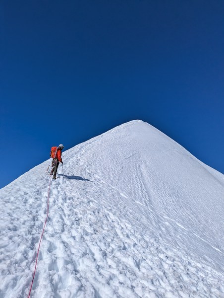
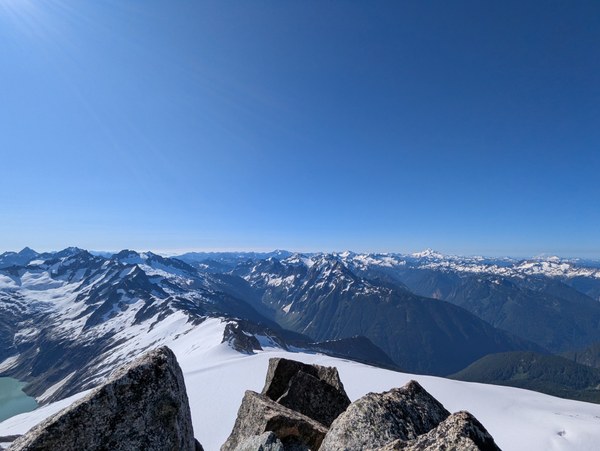
We summited around 9:10am, sat around to take photos and eat snacks, then departed the summit around 9:30am.
The descent was much faster than the approach. From summit to camp, it took about 30 min. From camp to running water near the lower down tents took about 1 hour.
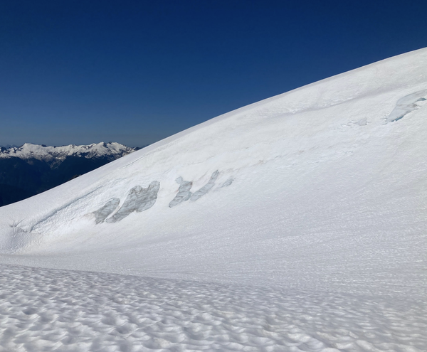
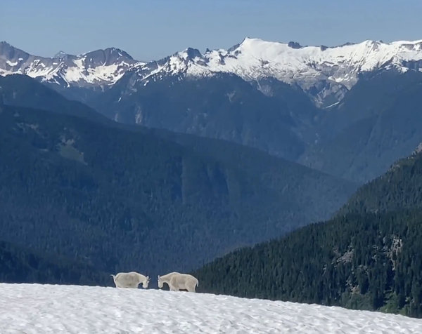
We changed back to approach shoes, filled up on water, and headed back toward the notch. A couple of scrambly moves up and over the notch, then the steep descent back to the car.
Navigating the boulders in daylight was much easier than in the dark in the morning. Having poles was really helpful to balance on the edges of rocks to lower oneself instead of jumping down. The trail kind of weaves in and out through dirt, boulders, and trees. Some of the cairns are helpful but we referenced GPS multiple times here to stay on route.
Eventually we made it back to the car at about 1:45pm for a total time of 11:45:40. Nice day all around. Definitely made more worth it by clear skies and nice views of all of the surrounding peaks.
 Isley Gao