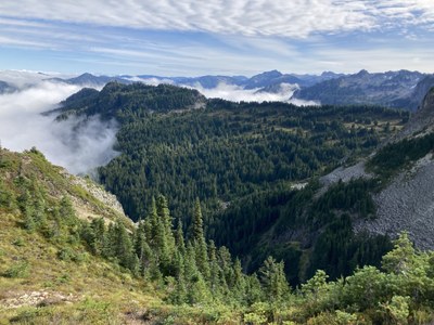
Trip Report
Florence Peak - Gove Peak Traverse
A grand fall color tour in Mount Rainier National Park, of peaks and ridges in the area just south of the Carbon River. This was a S5/T5 scramble (~5400’ gain/~16 miles), but a technically easier (yet longer) S5/T1 variation would skip Gove and use the Ipsut Creek Trail instead.
- Sat, Oct 17, 2020
- Gove Peak
- Scrambling
- Successful
-

- Road suitable for all vehicles
-
A perfect good weather break within a spate of tumultuous weather. Recent early snowfall had kindly melted, and the relatively dry day (yielding less slippery heather) allowed us to leave crampons/micro spikes at home. We found ice axes very useful in negotiating the steep/cliff ridden terrain between Gove Peak and Green Lake. Although most of the day was bereft of other parties, human hordes were encountered during our brief use of a 3/4 mile section of the Tolmie Peak trail.
A party size of 4 is highly recommended for the ‘one-at-a-time’ sections when descending from upper Gove Peak (~elevation ~5560’). Although this trip was done counter-clockwise, a clockwise variation would help negotiate the cliff bands above Green Lake, as well as avoiding a T5 descent (just an ascent if doing the traverse).
We took our first break near the Sweet Peak/Florence Peak col. The rapidly evolving boot path to this spot (due in no small part to the popularity of ‘Guide to 100 Peaks at MRNP’), is quickly approaching a well established trail.
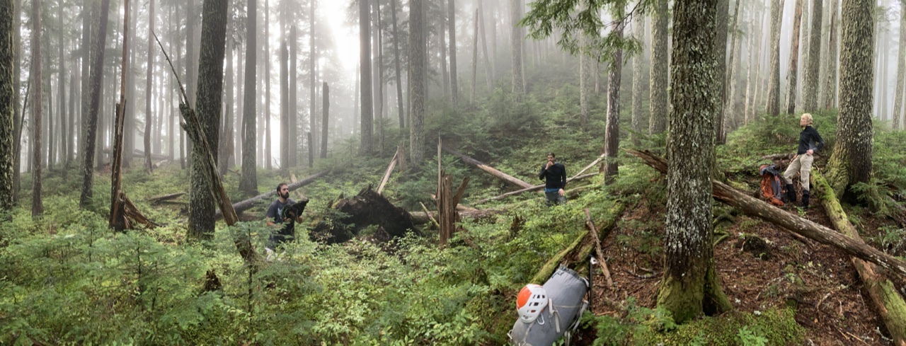
Our confidence in a successful outcome for the day was boosted as we reached Point 5042:
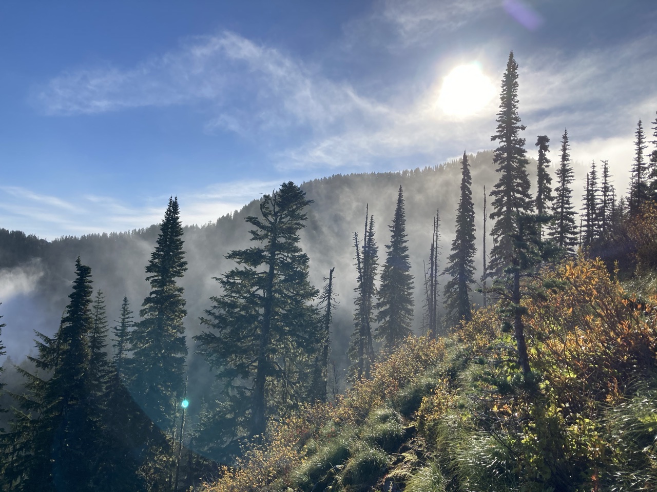
We got our first glimpse of the ridge run to Howard and Tolmie from the summit of Florence, with an ominous weather sign the cloud forming above Rainier:
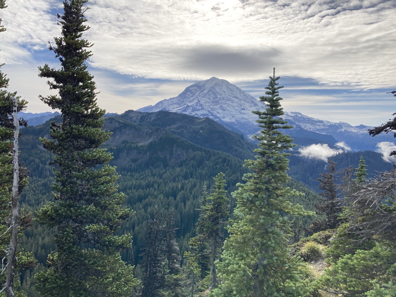
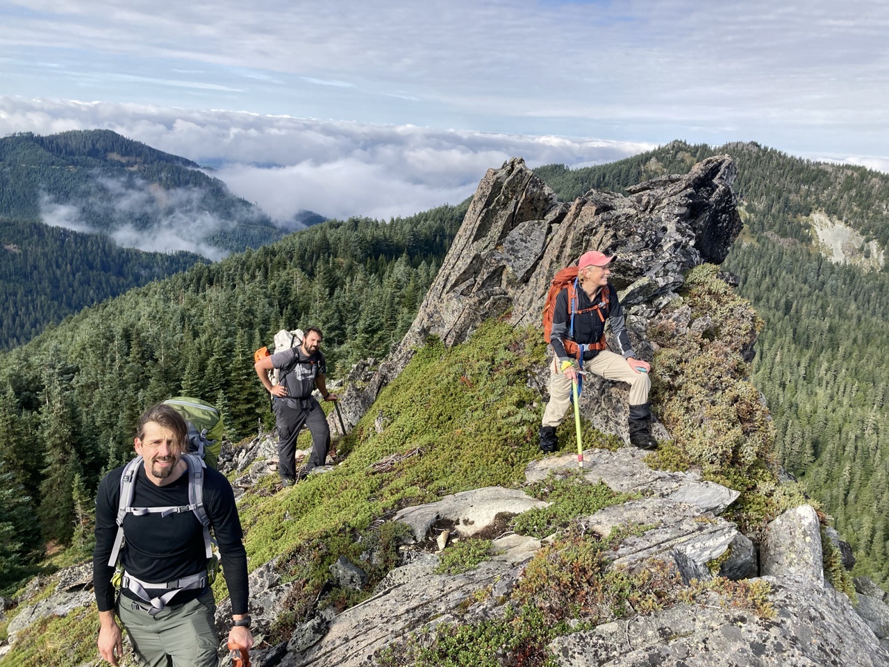
An interesting unnamed summit (just west of Howard) gave us a chance to catch our breath.
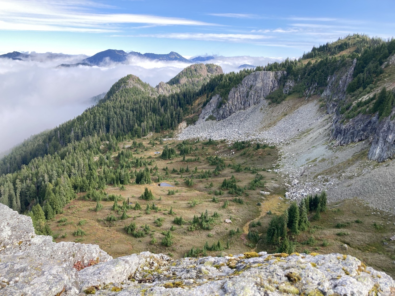
This is also a good spot to appreciate the beautiful tarns and meadows just north of Howard, as well as the challenging Rust Ridge that leads to Arthur Peak:
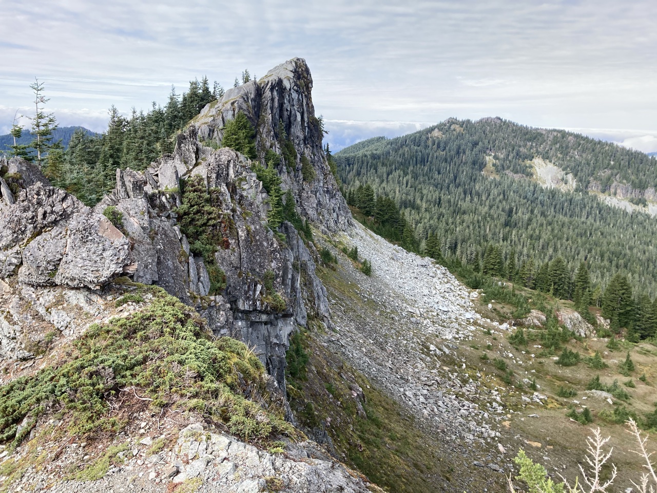
Another perspective of this interesting unnamed summit, with the rounded rock on its eastern side suggestive of limestone:
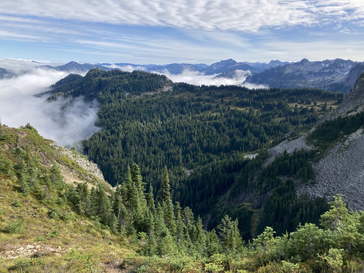
Near the summit of Howard we can see our Main Event, the meadowed ridge leading to upper Gove Peak:
Near the Tolmie Peak lookout we get an imminent weather update from the strengthening cloud above Rainier (as it turned out the good weather held for the entire day):
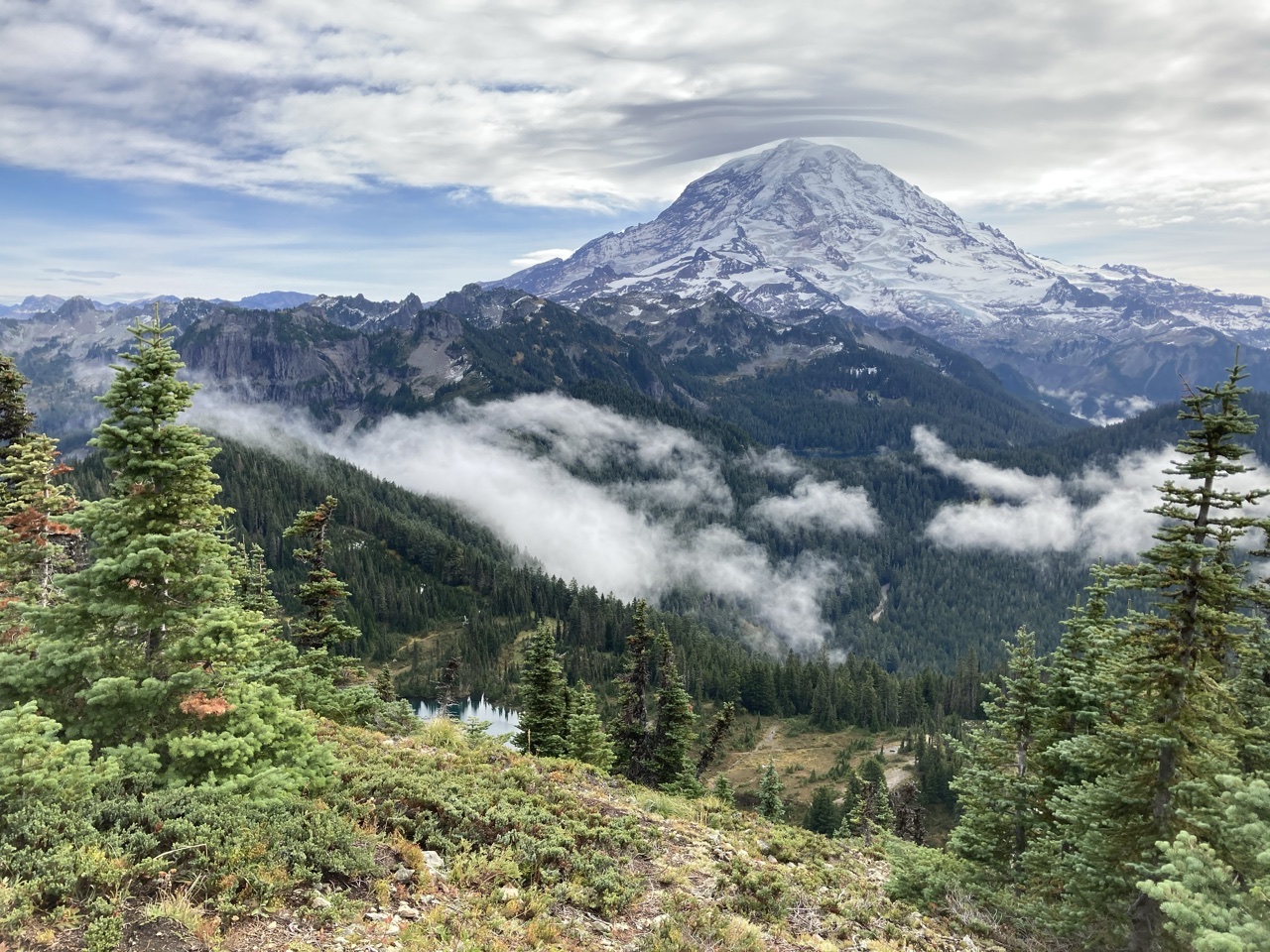
Although there were lots of COVID crowds at the lookout, we could see relief near the outlet of Eunice Lake (the gully allowing access to the ridge containing Gove Peak):
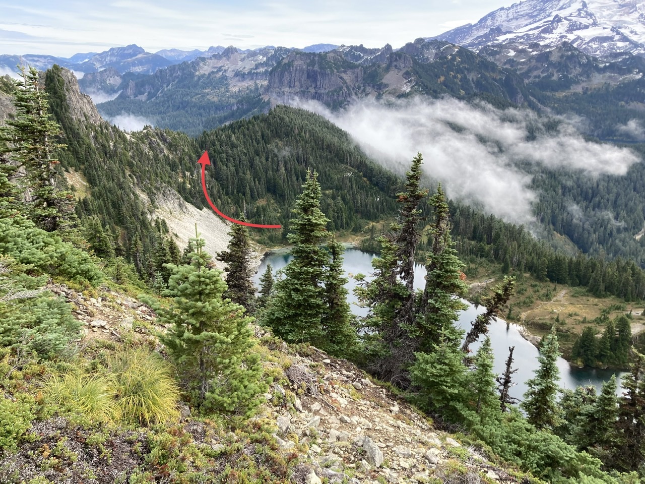
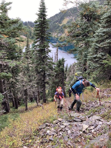
Almost to the col (the brush in this area was made much easier by keeping closer to the talus slope just north of the gulley):
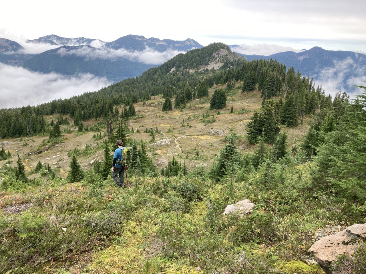
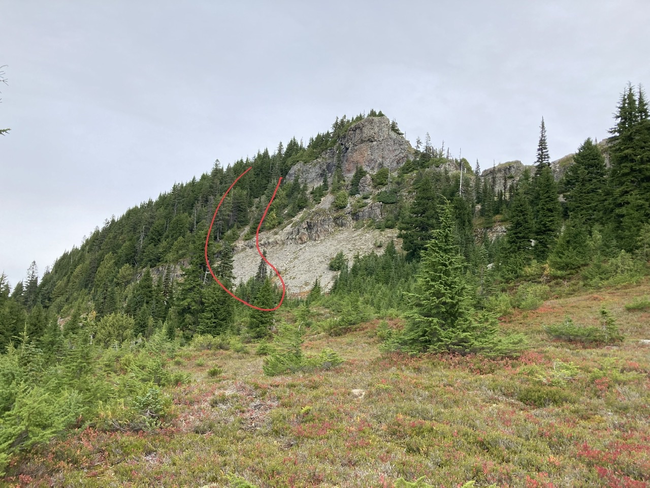
Some easy meadow meandering until the next challenge, a cliffy section on the way to Gove:
We negotiated this cliffy section with a game trail on ascender’s left (outlined in red) that led to a steep/tricky T4 section. Past this section it was an easy traverse to the upper summit of Gove.
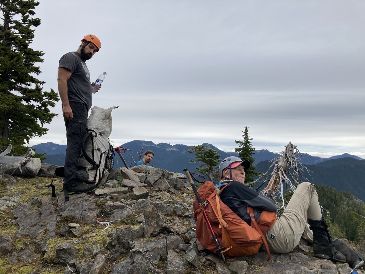
The upper summit of Gove Peak, estimated altitude of ~5560’:
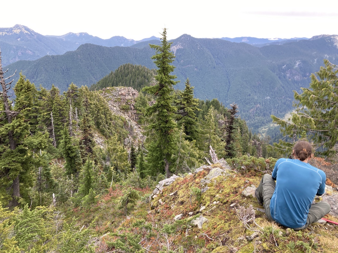
From this upper summit you can see a treeless false summit (just above our yet to be descended T5 rock section). Beyond this false summit you can also see the ‘true’ forested summit of Gove Peak (elevation 5310’):
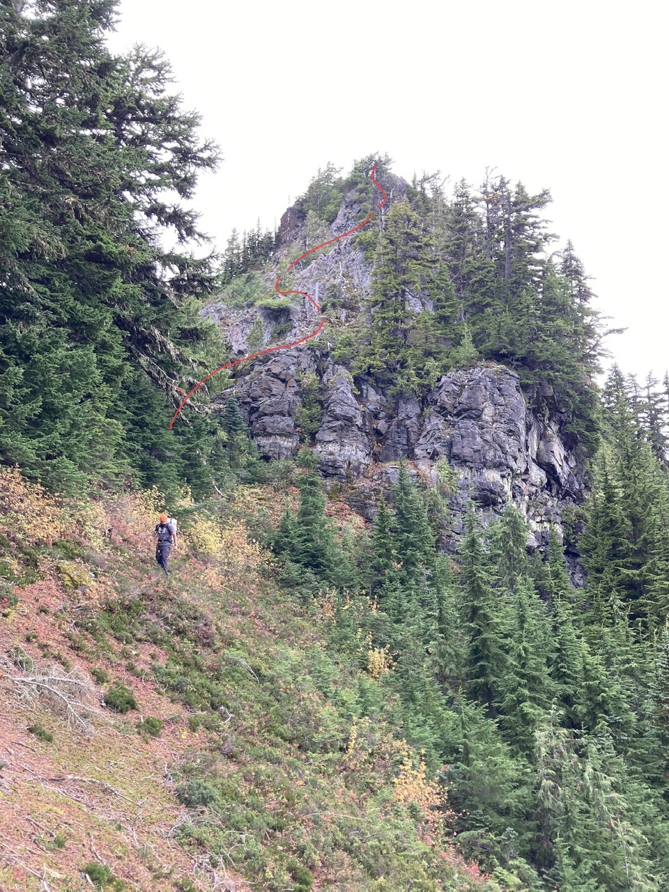
The T5 descent had a healthy amount of loose rock which necessitated breaking it up into 5 sections of ‘one at a time’ travel (line of descent shown in red, the total time for this descent was ~1 hour):
Gove Peak was not done with us yet, the forested terrain leading to Green Lake (and the trail to the Carbon River Road) had numerous and substantial cliffs. Several of these required our backtracking uphill for an alternate line of descent (not an optimal state of affairs at the end of a long day ;):
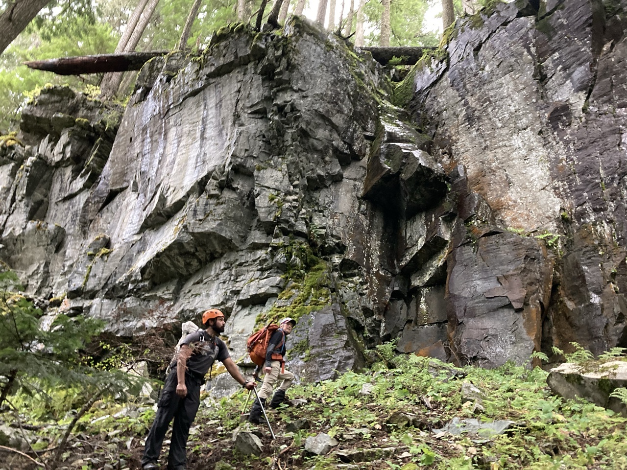
Finally at Green Lake, and the sun is still up (for another 20 minutes ;). It took a total of 3 hours from the summit of upper Gove Peak to Green Lake (one hour for the T5 section, two hours for the cliffy forested terrain):
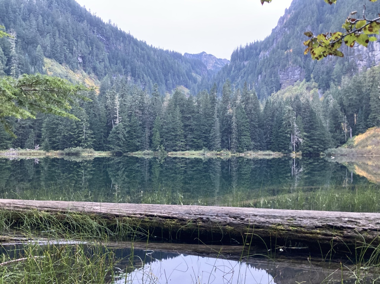
As the most challenging parts of our S5/T5 traverse are at the end of a very long day, it is probably best that only very experienced parties with excellent condition attempt it. For most folks the S5/T1 variation that uses the Ipsut Pass trail is probably the best choice.
Our total time for this ~16 mile, ~5400’ gain traverse was ~13 hours with our times for the various sections summarized as follows:
- Cars to Florence Peak (~3 hours)
- Florence Peak to Tolmie Peak Lookout (~2 hours)
- Tolmie Peak Lookout to upper Gove Peak (~2 hours)
- Upper Gove Peak to Green Lake (~3 hours)
- Green Lake to Carbon River Road, road hike to cars (~2 hours)
A great day in the mountains, photos from this and other trips to this venue can be seen here.
 Dave Morgan