Trip Report
Gilbert Peak/Conrad Glacier
Climbed/Skied Gilbert peak via Mead Glacier - TR here because approach is same as Conrad Glacier and Meade is not an option in Mountaineers DB
- Sat, Jun 16, 2018
- Gilbert Peak/Conrad Glacier
- Climbing & Backcountry Skiing
- Successful
-

- Road suitable for all vehicles
-
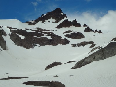
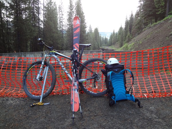
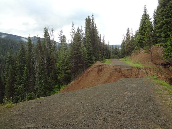
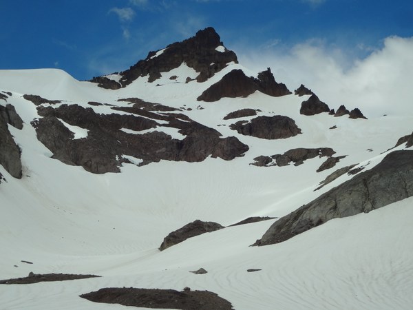
South Fork Tieton road is washed out 1.2 miles before Conrad Meadows CG. From the CG, it's another 2 miles to the trailhead. I brought a Mt Bike and was able to cycle up the road, saving myself about 6.5 miles of walking in total. A note about navigation - I was using some older maps that showed trails allowing shortcuts to trail 1120. I don't recommend these. There are all kinds of trails snaking around from hikers, game, and livestock. 1120 is barely maintained, and the others not at all. I had numerous times in my day even on 1120 where I lost the trail in blow-downs and had to backtrack and search - super annoying on a long day. Also - the trails are not marked so take care to know where you're going or you'll find yourself floundering in blow-down hell. If there is snow all the way to the meadow, overland travel would not be a big deal, but if it's melted out you'll want the trail. Take trail 1120 from the trailhead. There is a passable bridge over the Tieton, but it's not in great shape. After about two miles the trail forks. It's unmarked. Take the right fork. If you take the left fork and come to a bridge after which the trail starts ascending - you've gone too far. Go back and try again. Ascend the ridge via trail. At about 5600 feet the trail forks again - it's easy to miss. You'll be able to see the cliffs of point 6250 above you and to your left. Take the right fork and ascend to the ridge top at 6000 feet. Stay on the climber's left hand side of the ridge and follow a faint path until the ridge broadens out and meadows appear (6,250'). Hike the meadow West dropping up and down until you get to a steep moraine/cliff. Ascend snow to a large bench at 6,350'. Fabulous camping here. From 6,350 ascend the glacier - for me on the right hand side and the traverse to the obvious notch at 7,700 feet just to the left of the summit pyramid. Scramble to the top and ski on back down
Made a quick trip up Curtis Gilbert to ski the Meade Glacier yesterday (6/16/18). Route was fine, but really only skiable from from 7,700 feet to 6,250 - so a long walk for a few turns. It might be a better ski earlier season, but so much of the trip is up a flat river valley and wooded ridge that you'll never get a lot of vertical from a single run. If you're going to do CG, I definitely suggest doing it as an overnight so you can score a few more runs. Plus, it's a long way back in there. Car to car was like 24 miles (not completely sure because my garmin died - but I think it's a good bet).


 colin corbin