Trip Report
Grande Ronde River
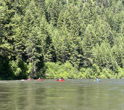
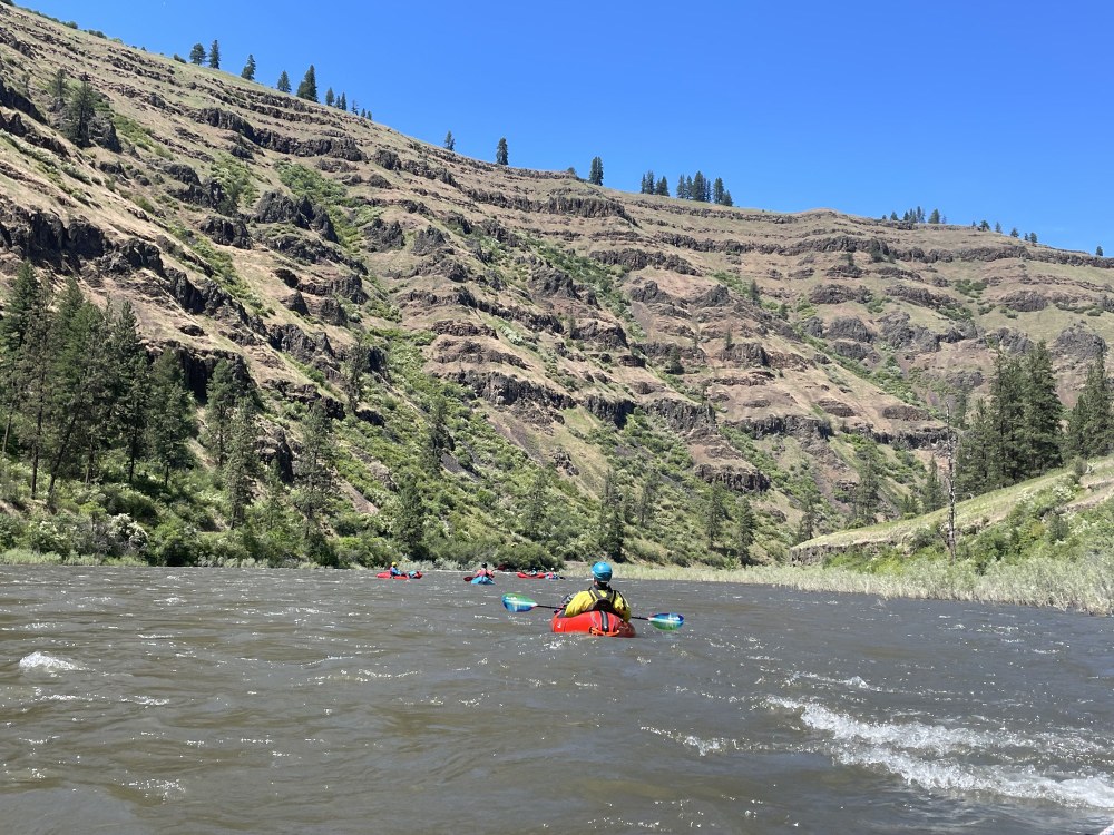
We floated the 66 mile reach from Minam (MY-nam) to Boggans (Boh-GANZ) Oasis over 3 days. Moderate flows made for a fast pace with little effort and some very fun wave trains.
- Thu, Jun 6, 2024 — Sat, Jun 8, 2024
- Grande Ronde River
- Packrafting
- Successful
-

- Road suitable for all vehicles
-
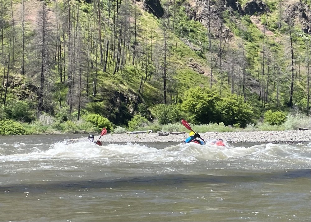
The gauge at Troy was between 5,800 - 6,500 CFS peaking at 8:30am with the nadir at 8pm over these 3 days. There were some class III holes along the route that were easily avoidable. This is a wide river, especially at this flow. The highly inundated willows were a dead giveaway of higher than average flow.
What makes it a class III rapid? On a couple of these wave trains, a full 4 feet of my boat was out of water cresting a wave, then like a seesaw my boat slapped down on the back side of a haystack with a loud slap. That's one way to know it's a class III. On this run, there were also some big, multi-directional waves that required instant reactions and constant precise maneuvering. Straightforward wave trains, even with laterals, are easy to prepare for. Big, unpredictable waves from all diagonal directions are more difficult.
We only encountered one strainer, on the left passage of an island, easily visible and avoidable by taking the right side of the island. We saw some other strainers that were tucked up close to the shoreline. In 2021 a forest fire swept through a large area between the confluence and Troy. This could make for future strainers as deadfall hits water.
The Wallowa from Minam to the confluence with Grand Ronde is a 10 mile, active stretch with three named rapids that could be class III. Eddies are few and far between. We had two paddlers capsize in this section who each swam a long way. They discovered that turning over a fully loaded boat, with up to 50 pounds of camping gear, is nearly impossible while swimming. Due to the amount of time needed to right a boat and stabilize it for a partner assist, we found that it is best done as a 2-step process. Connect with the swimmer once to right their boat, then detach in order to stay out of harm's way. Then reconnect to stabilize the swimmer's boat for an assisted entry. The rapids in this first 20 miles are continuous and long.
With 6,500 CFS pushing us along, our average speed was 6.5 mph. We reached the confluence by noon after a lazy 10am launch time. 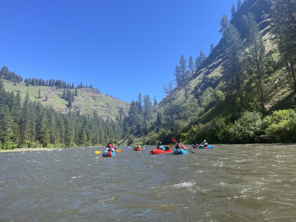
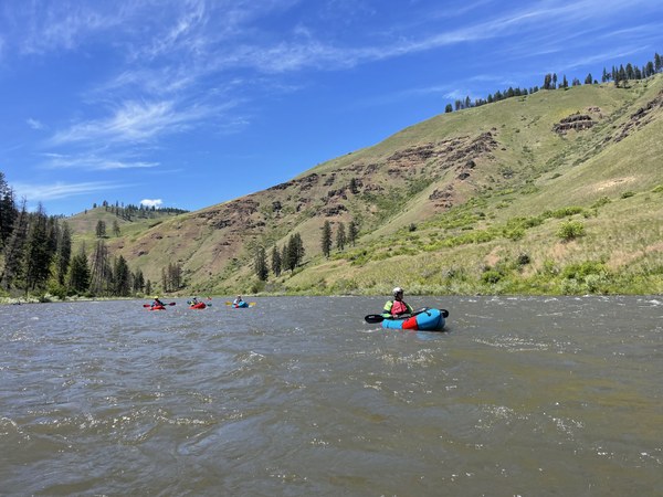
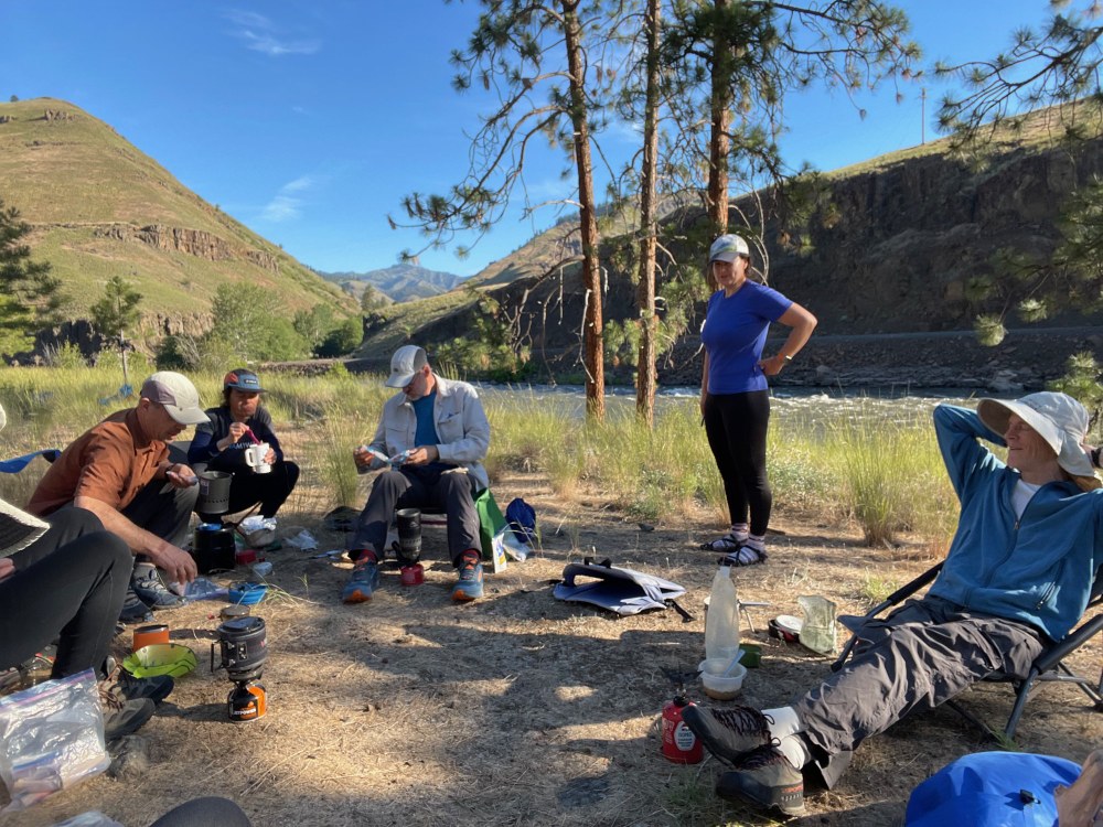
The Wallowa is about equal in size to the upper Grand Ronde. Below the confluence, the action lets up a little bit, yet is still fairly active, with many good wave trains. On Day 1 we floated another 12 miles below the confluence to Martin's Misery at River Mile 69. On this day, 22 miles took barely 4 hours of paddling. This was a beautiful camp, with shade, the white noise of the rapid, and Mergansers shuttling back and forth to feed their babes. A camp snake joined us for a sunbath in the morning. 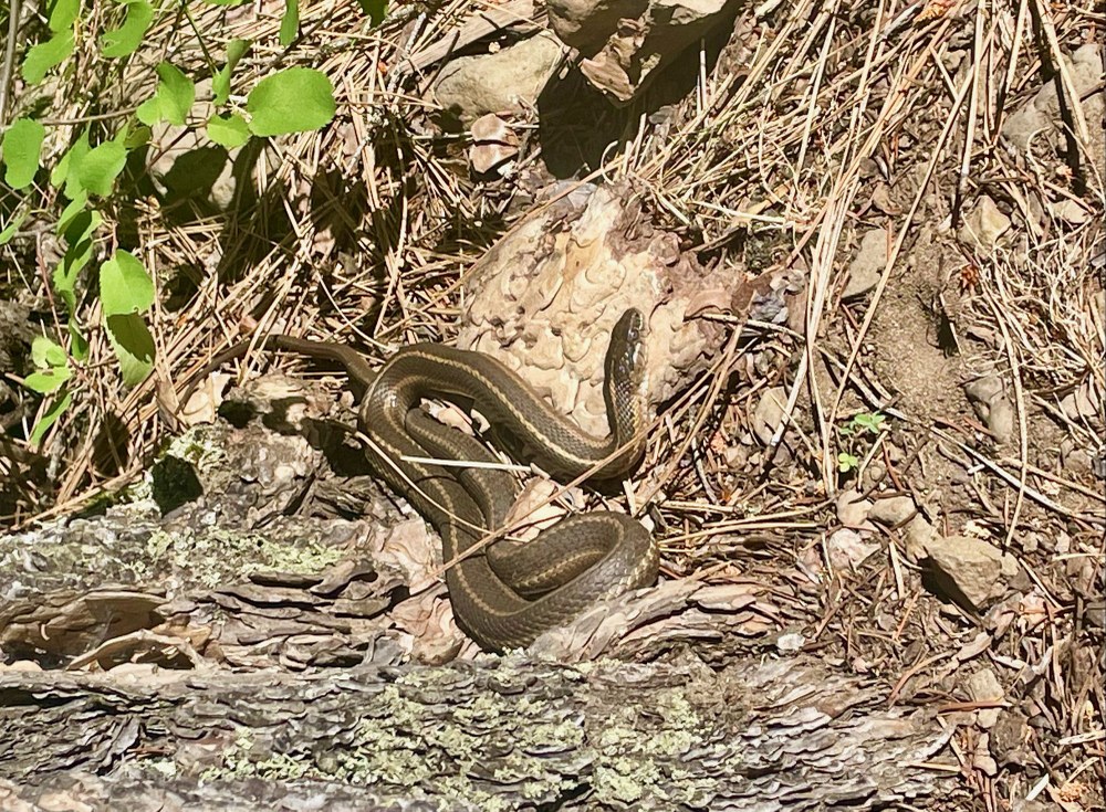
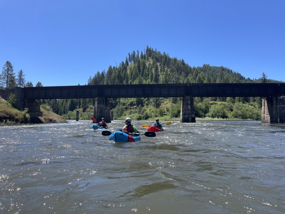
On Day 2 we floated 12 miles to a camp at River Mile 58 on river right to have lunch. The camp just around the bend is a big, beautiful camp with many trees and shade and a big beach. Worth noting for future trips. We got here at noon and decided to go down to Troy, which was only 2 hours away at this flow. By the time we got to Troy, it was close to 90 degrees. The bridge under the Wenaha River provided a great shade break. There are several reasons to spend an hour or so at Troy. There is cold, potable water spigots at the campground by the bridge. There is a market with cold drinks, bathrooms, and burgers, fish and chips, etc. There is also a river trail providing a hiking opportunity along the Wenaha River. We opted to move on and camp on the river away from civilization.
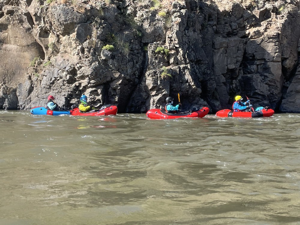 Night 2 we camped at River Mile 36 on river right, after paddling a total of 34 miles for the day. Our average speed on this day was 5.5 mph. Being in the boat for 6 hours or so, on a day with over 16 hours of daylight, did not feel rushed. Camp was on a level plateau 10 feet up an embankment, with young saplings to make our clotheslines, a Desert Bighorn greeting us on the ridge, and Killdeer singing us to sleep.
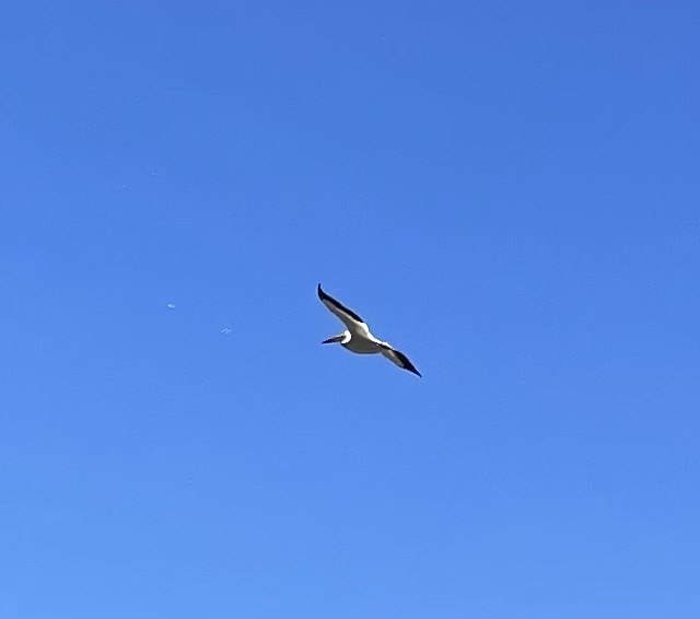
We spotted animals big and small, and many birds common and uncommon. Amongst the big animals were Desert Bighorn, some kids drinking at the river, and a big one above camp, and a large brilliant yellow-tan Buck chewing near the river as we floated past surreptitiously at dusk. The bird watching was very fruitful: an American White Pelican, massive Golden Eagle, many Bald Eagles, one with a sizable fish in its clutches, Great Blue Heron, Canadian Geese, Common Merganser, Cliff Swallows, Western Bluebird, Magpies, Killdeer, and surely more we could not identify. 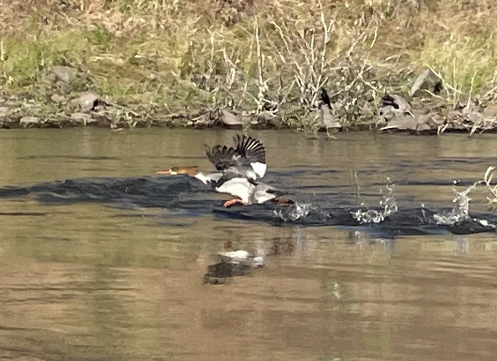
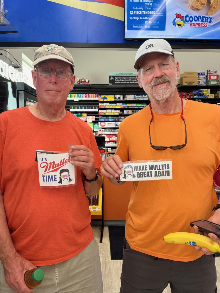
 We encountered two clowns who provided endless comedic banter along the route. We were lucky to have this accompaniment.
It was unanimous amongst our group that the best section of this route is the Wallowa from Minam to the Confluence, and the 2nd best is the next section from the Confluence to Powattka take out. Out of all the take-outs there were the most vehicles parked at Powwatka Bridge, indicating this is the preferred take out for most boaters. A 2-day trip from Minam to Powattka followed by a 1-day run from Bogans to Heller would be the highlight reel. For more mileage and class III action, the Minam River could be added as a 1-day at the start, with excellent camping at Minam State Campground before and after.
 Logan DeGrand