Trip Report
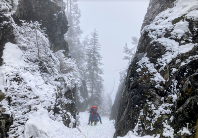
Intermediate Alpine Climb - Guye Peak/South Gully-South Spur
A challenging early-season mixed climb with an involved descent
- Sat, Feb 3, 2024
- Guye Peak, Snoqualmie Mountain & Cave Ridge (Alpental)
- Climbing
- Successful
-

- Road suitable for all vehicles
-
Weather was just below freezing with low winds and snow forecasted. Low avy risk for the entire area. We did not see any other climbers or hikers the entire day.
Obvious path on Commonwealth Basin trail until the creek crossing at 47.436572, -121.403153 where there was one powdery log.
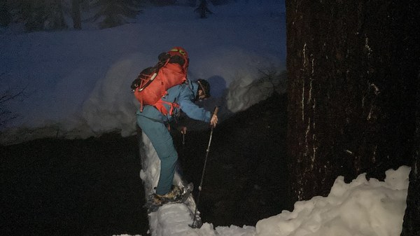
Bilal stomping a path across the lone log over Commonwealth creek Just a few meters after we had to cross another small creek section but there were enough rocks and stones for feet to stay dry. The gully itself has a fair amount of snow coverage but no ice. Much of this climb was steep snow or dry tooling, which proved to be much more difficult than the M2+ rating on Mountain Project. We ended up not using much of the pro we brought and only needed cordelette for tree anchors, some double slings, small cams, and nuts. We didn’t use any of the pickets or screws we carried.
Snow near the summits was in solid condition but much of the descent off the north/west side to Alpental was wet and slippery. Post holing and sliding (even with snow shoes) extended the time it took to get back down.
GaiaGPS track: https://www.gaiagps.com/public/rP0j7X2QjwqR2pkr8z2zK4C8/
A group of us met up at Summit West parking with plans to climb Guye Peak via the South Gully.
We donned our snowshoes at the start of the PCT trailhead at around 5:30am and made our way along the trail to the creek crossing. The trail disappeared and we followed the GPX to the south gully, approaching from the southeast.
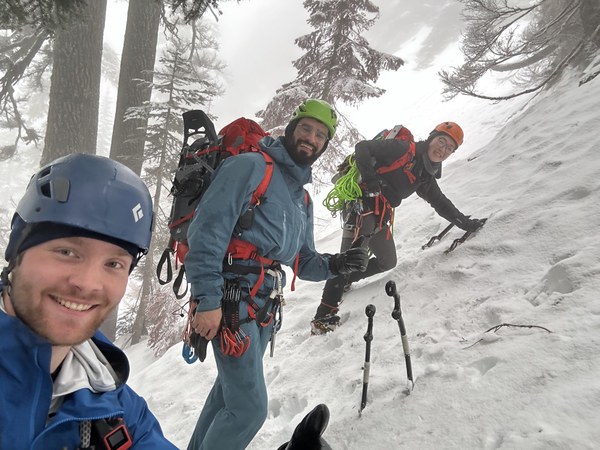
The start of the gully at 47.43952, -121.40699 matched one of the photos from Mountain Project so we were pretty confident we were at the right spot.
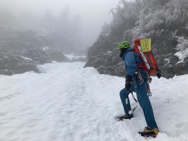
We soloed up the snow until reaching the first rock step where we roped up and pitched it out.
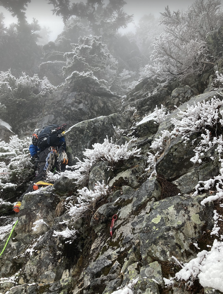
At the top of the first pitch we could see a tree with some webbing and rap rings, likely from bail offs. Mountaineers route page says "Then traverse right (east) for 50-100 ft then follow the south spur to the summit." but we did not see a right traverse option. Since we had pro we decided to continue climbing forward.
Second pitch ascended the 2 chock stones around 4500' with some bouldery moves that involved mantling with one hand and pulling up really hard on one tool with the other while trying not to get too deep into the crevice to avoid camming your backpack between the rocks. Top of the second pitch was overgrown with trees and required battling branches to get to the belay at a thick tree with more webbing and rap rings.
Third pitch started with a mellow snow section before some more awkward mixed climbing moves. Lots of small-medium sized loose rocks on the ledges that were difficult to avoid getting kicked down on climbers below.
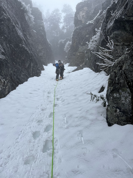
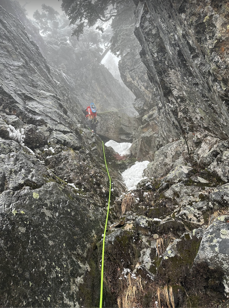
After the third pitch we unroped and traversed on easy snow and dirt to another steeper rock section. We decided to rope up just in case--this section itself didn't look too difficult but a slip or fall would have sent the climber down a steep face and we did not want to take that risk on wet rock. This fourth pitch topped out at a pile of boulders good enough for a gear anchor.
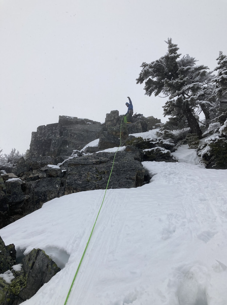
After that we hiked up a mellow section of snow to reach the true (south) summit.
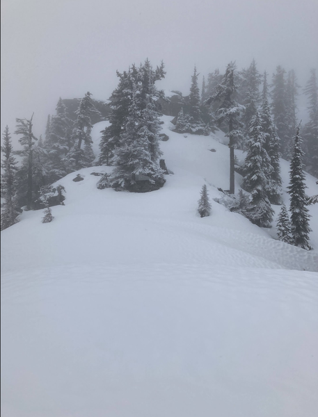
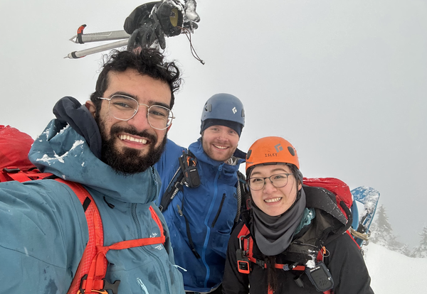
There were two options to start the descent: (1) to follow a ridge to the Middle Summit and then rappel down or (2) rappel down to the east side of the Middle Summit and then continue rappelling down until reaching the ramp to ascend the North Summit.
We looked for the ridge to the Middle Summit but did not find an obvious way, so opted for option 2 and rappelled off a tree with some rap rings on it down to the east side of the Middle Summit. In hindsight, this was NOT the best choice. In total we did 3 rappels where the first two were on trees with webbing already slung on them. These rappels were pretty difficult. Rope was getting icy, lots of postholing, and the last rappel went over an overhang before getting into a wide snow gully. If possible, follow the ridge to the Middle summit and rap from there like the beta says.
We down climbed a bit of snow around some rocks on climber's right before seeing the snow ramp to the top of the North Summit.
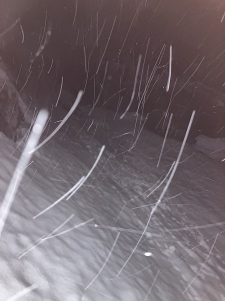
This snow ramp was fairly straightforward. You can see the vertical, looming rocks that make up the North Summit on climber's left. The snow ramp gets steeper as you get closer to the summit but the coolers temps after sunset had hardened the snow and it gripped our ice tools and crampons well so we opted to solo this section. As we approached the top you could see small trees on the other side, and it quickly flattened out. We could see boot prints here and it was such a huge relief knowing we were back on a trail.
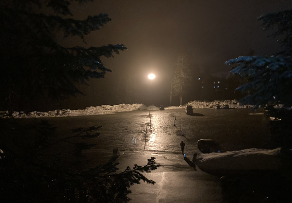
Instead of going all the way back to Summit West, we headed toward Alpental where luckily we had a friend waiting for us to take us back to our cars. The recent rain and warming temps had softened the snow on this side and we were postholing even with snow shoes. Eventually we made it back to the road, relieved to have completed this adventure.
 Isley Gao