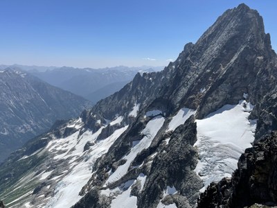
Trip Report
Intermediate Alpine Climb - Goode Mountain/Northeast Buttress
Great trip with a great group back to Goode and Storm King deep in the heart of North Cascades Nat'l Park.
- Thu, Jul 8, 2021 — Sun, Jul 11, 2021
- Intermediate Alpine Climb - Goode Mountain/Northeast Buttress
- Goode Mountain/Northeast Buttress
- Climbing
- Successful
-

- Road suitable for all vehicles
-
The PCT bridge over Bridge Creek south of the North Fork junction is fully rebuilt and is a very impressive bit of quick engineering and construction. The "usual" log crossing over Grizzly Creek 50' north of the trail is broken however we found a good log to cross approx 200' south of the trail that worked fine (beware the log you step down onto).
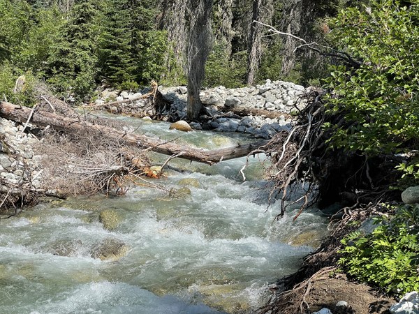
From the Grizzly Creek crossing to descending down to ford Bridge Creek, the trail is brushy with tons of stinging nettles. Those in shorts (me) would recommend pants for this section regardless of the temps.
The North Fork creek crossing was right where the climbers trail off of the North Fork trail deposits you and straightforward. The channel on the far side of the bar is running pretty hard above knee level but facing upstream the crossing was fine.
Park Creek trail has quite a bit of substantial dead fall...however a couple of rangers were headed up with beefy chainsaws on Sunday morning.
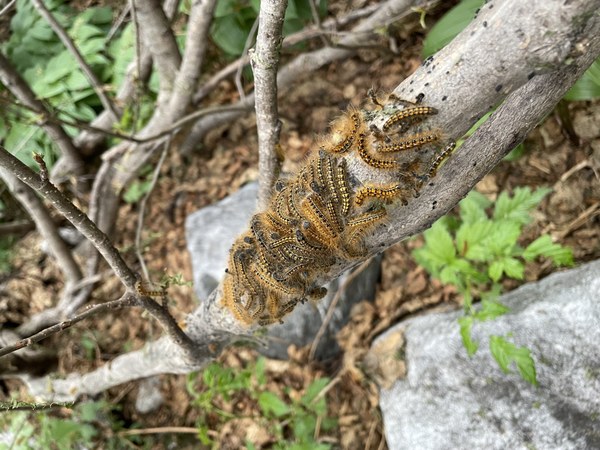
After hiking in on the PCT and the North Fork Bridge Creek trails, we crossed Grizzly Creek south of the trail alignment, went another 3/4 of mile on the overgrown trail (per the summit register we were only the second party up there this year) and dropped down to the North Fork of Bridge Creek on the climbers trail easily spotted across the valley from the leftmost waterfall. Per the established beta, we aimed for the leftmost waterfall and scrambled up the slabs just to the right of it. Bearing slightly right as we topped it out, we hit the “alder tunnel” climber trail and were shocked at the number of caterpillars. We had heard about the caterpillars…but WOW…woke up at 1:00 a.m. Friday with one crawling across my face!
After climbing out of the slide alder, we crossed climbers left over a snow covered creek and bivied just below some low angle slabs at 5500’. This is the site of the “5400’ camp” that shows up in the beta. Just enough space for a party of four and good access to running water. The 5200’ alternative is surprisingly out of the way to the west and those extra 300’ are money in the bank for summit day. Would definitely recommend the 5500’ bivy to future parties.
On Friday, we more or less climbed straight up the slabs above camp and found an easy way onto the glacier between seracs to the east and to the west before angling rightward towards the buttress. The glacier is somewhat cracked up but the crossing was straightforward. We aimed straight for the rightward sloping red ledges up to the buttress and found multiple moat crossings that were feasible.
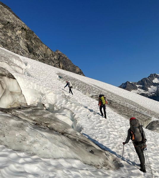
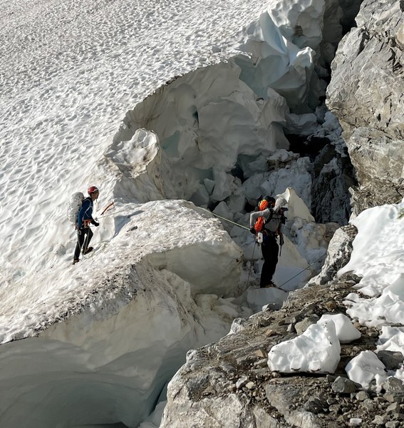
Once across the moat, we scrambled up and right for the first "pitch" onto the Northeast Buttress, roped up for the second pitch, and started simulclimbing after we hit the buttress proper. We knocked out approximately 1200’ of mostly 4th class simulclimbing in two blocks before hitting a true mid-5th pitch. We climbed another half pitch of 5th and then went back to simulclimbing all the way to the Big Ledge.
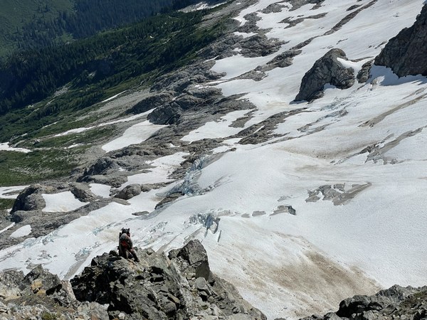
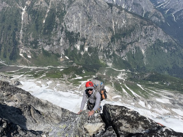
From the Big Ledge we climbed to the summit in three easy low 5th pitches to one of the best summits I have ever been on. We left packs at the Big Ledge which made those final three pitches feel great!
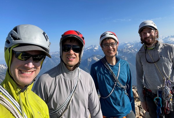
After summiting, we did the three raps back down to the Big Ledge and made the less-trivial-than-advertised traverse to the fourth rap at Black Tooth Notch to descend the SW Couloir. Three further raps led to approx. 400' of "cascadian couloir" 3rd class descending. One important discovery was a path leading off skiers left about 3/4th of the way down to the mouth of the couloir right where the rock because very smooth water polished rock. Make sure to take this!
We chose to camp on the east (skier's left) side of the "spine" dividing the basins at the bottom of the SW Couloir and found good bivy sites and running water at about 7800'.
On Sat we traversed the 1 1/2 miles over to the base of Storm King and found continuous snow up the south gully all the way to the gully to the right of the one with the obvious horn.
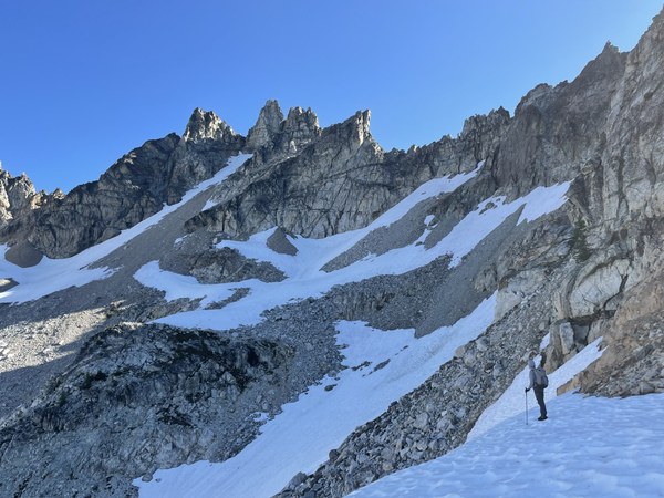 We passed through that rightward notch and found pretty loose 3rd class conditions. We chose to lead it and place pro for the first 25-30' of the traverse. Our path to the summit was more consistent with Abegg's beta than summit post, i.e. we traveled more like 200' than 70' before beginning the scramble upward to the summit. The "notch" we took to the summit was the notch on the east side of the summit as opposed to the west, which looked pretty blank. One rap and a little butt scoot had us back on the loose 3rd class ledge and the start of the descent.
The rest of the trip was a long, hot slog down the Goode rib through the burn to the Park Creek trail, a camp at Two Mile, and then out to the cars on day 4.
 Michael Nanney