Trip Report
Intermediate Alpine Climb - Mount Buckner/North Face
Long and steep climbing amid amazing beauty.
- Fri, Jul 20, 2018 — Sun, Jul 22, 2018
- Intermediate Alpine Climb - Mount Buckner/North Face
- Mount Buckner/North Face
- Climbing
- Successful
- Road suitable for all vehicles
-
Cascade River Road was gated at the Eldorado trailhead when we started. It was open to the Cascade Pass trailhead when we finished. This is the second year in a row that the road has reopened while we were out climbing, a perverse tradition. Fortunately, we were able to hitch a ride back to our car which saved us a few miles of road-walking.
The snow on the Buckner North Face route was good but nearly melted out and won't last much longer. (The North Face Couloir route already looks done.) Everywhere else we traveled seemed to be in good shape.
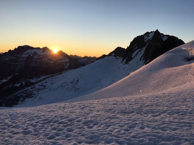
Our party of three left the Eldorado trailhead around 9:30 a.m. and hiked up Cascade River Road, up the Boston Basin trail, and up the Quien Sabe glacier to the Boston-Sahale col. After traversing the ridge to a spot below Boston Peak where it meets the Boston Glacier we dropped our packs and scrambled to the summit. We arrived around 6:00 p.m.

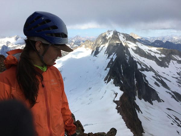
Boston Peak doesn't have much to recommend it as a climb but the views are excellent. Over to the east we could see that a lot of the snow on the north side of Buckner had melted out and that the climbing might be challenging in places. Three rappels brought us back to our packs and we descended a short distance down the Boston Glacier to set up camp at a relatively flat spot.
The night was unexpectedly cold and we woke up to a layer of frost on our gear and frozen water bottles. We got a late start and resumed crossing the glacier towards Buckner around 6:30 a.m. The daylight helped make the navigation around crevasses straightforward.
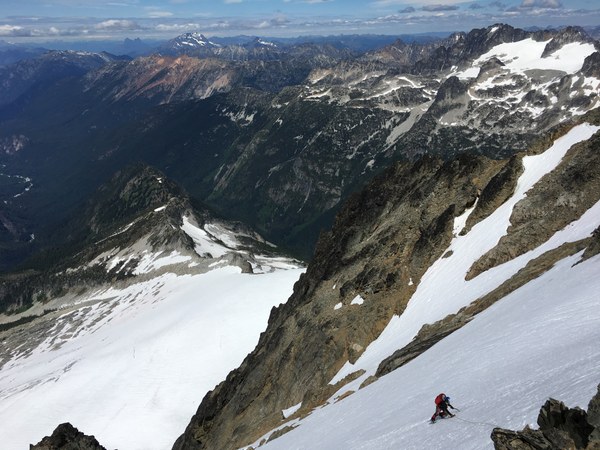
At the base of the North Face we switched gears from glacier travel to climbing. Near the bottom we zig-zagged around several large cracks and clambered over some rock to bypass a full-width bergschrund. Fortunately the snow quality was good and the climbing felt secure. We elected to simulclimb the entire route. We used pickets, screws, and a surprising number of rock placements.
About two-thirds of the way up the route the snowfield narrowed down to around 30 ft wide for a stretch. Once that melts out it will be very difficult to climb since the rock quality in that area is terrible. Above the constriction the snow widened but remained steep all of the way to the summit ridge. We topped out around 1:45 p.m.

It was a gorgeous day and the views were amazing. After relaxing and recharging we headed down the southwest route into Horseshoe Basin. We found a decent camp spot on a dry outcropping not far from the Davenport Mine. In the morning we climbed out of the basin to the Sahale Arm and headed down to Cascade Pass and the trailhead.
It's hard to beat the North Cascades for a great alpine adventure.
Gear: 60 m rope, pickets (3), ice screws (4, used 2), tiny rock rack (3 cams, 6 nuts)
 Stephen Sugiyama