Trip Report
Intermediate Alpine Climb - Mount Rainier/Fuhrer Finger
A hard, but beautiful and memorable experience. A great way to start the season!
- Sat, May 15, 2021 — Sun, May 16, 2021
- Intermediate Alpine Climb - Mount Rainier/Fuhrer Finger
- Mount Rainier/Fuhrer Finger
- Climbing
- Successful
-

- Road suitable for all vehicles
-
Crossing Nisqually and Wilson to gain the rock ridge at 7700 was straightforward and did not require route finding, with the area well covered by snow. However, no water was available on the approach until about 8500. With the warm temperatures, we have been postholing until about 8800 on approach, and likewise on the descent. Camp on the rock at 9400 had water. Crossing to the base of the finger involved running around one crevasse, but was also fairly straightforward. Finger itself was sun-cupped, and the entire route was hard snow, no ice in sight. Upper Nisqually is very broken up, and impassable. Past the hourglass, the current route gains the rock ridge cliber's left to the top of Wapovety cleaver at 13K, which involves a few hundred feet of technically easy, but exposed climbing above large crevasses. Past Wapovety, the route to the summit has a handful of crevasses, all with solid snow bridges. Descent is currently via DC, with the guiding companies just having switched away from Ingraham Direct a day or so before our climb. The DC is in great condition, has new wands placed a handline. There are no ladders on the DC route yet.
This trip was originally scheduled for the 2nd week of May, but we had to reschedule it by a week due to poor weather. This weekend was a mixed blessing. Exceedingly warm, calm, and sunny, but also a pretty wild temperature difference between 60F at Paradise and single-digit wind chill at the summit, which made gear selection somewhat tricky. Some of us put 3-season and 4-season boots in the car and contemplated the choice on the way to the trailhead. Some, like me, decided to commit to the decision ahead of the time and compensate by bringing multiple pairs of dry socks and a moisture absorbent powder. Regardless of the gear selection, we were all eventually united in the miserable experience of putting on boots soaked in cold sweat from prior day's approach at 1am on the morning of the climb.
We arrived at Paradise shortly after 9am, found the main parking lot fully packed, but snatched some overnight spots (that filled up shortly thereafter). A line for permits had already formed. Turns out, Fuhrer Finger is one of the 50 classic ski descents in North America, and this was the weekend to ski the finger. Who knew? As we were waiting, we discussed the various backup options that mostly centered around Kautz. But, we were lucky enough to snatch the very last permit for the Wilson cross-country zone. We were the only climbers on the route.
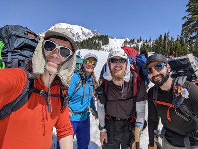
We departed from the trailhead around 11am after an obligatory group selfie.
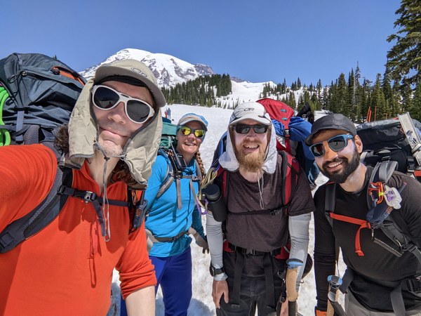
It was a bright and sunny day, with stunning views all around, and our route visible from afar.
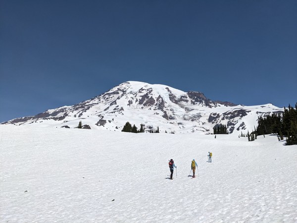
The crux of the approach was to manage perspiration in the futile attempt to try and not get our bodies, especially our boots, soaked in sweat on approach. Moved at the pace dictated by the heart rate monitor. Didn't really help.
Between that and the snow being very soft, the going was slow, so it took us 1.5 hours to get to the Glacier Vista where we dropped down to Nisqually. At that point, it has become pretty clear that we were the only climbing party. No baked boot tracks in sight that we could utilize for efficient forward progression. We kept post-holing until about 8800 (so for about 85% of the way to camp).
Nisqually was all covered by snow. We could see pretty much the whole approach route painted ahead of us with easy to follow skin tracks. No navigation skills were needed on this one.
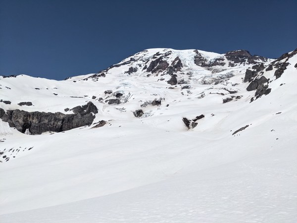
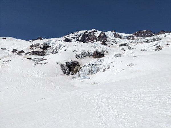
The downside of the glacier being fully covered was that Pebble Creek was covered as well, so no water. Double-ouch! Aside from some water running down the surrounding rock (in areas that would be too much of a detour, and that I would not dare to approach anyhow), we had not seen any source of water until about 8500. In retrospect, on a hot day like this, with no chance for a refill, one (especially me) should have carried more than just 2 liters per person.
Nevertheless, since we were on a glacier, we went by the book and traveled roped up as 2 teams of 2, with properly spaced knots, etc. M. Chauvin and R. Coppolilo would be proud.

We gained the flats on Wilson by about 3pm, and kept moving, with only brief stops to reduce the number of sandwiches in the pack. Dialing in the correct number of sandwiches is still an area of growth for me. I was off by half a ham and cheese sandwich in my calculations. That's a good few ounces of dead weight that contributed to all the pain we experienced on this long and strenuous journey. I can do better than that!
Once on Wilson, we contemplated some more direct approach options, but we were not sure how solid the possibly thin snow cover would be on the rock, so we just kept following the ski tracks that led all the way climber's left to the saddle at 7700 where the final approach rock ridge starts.
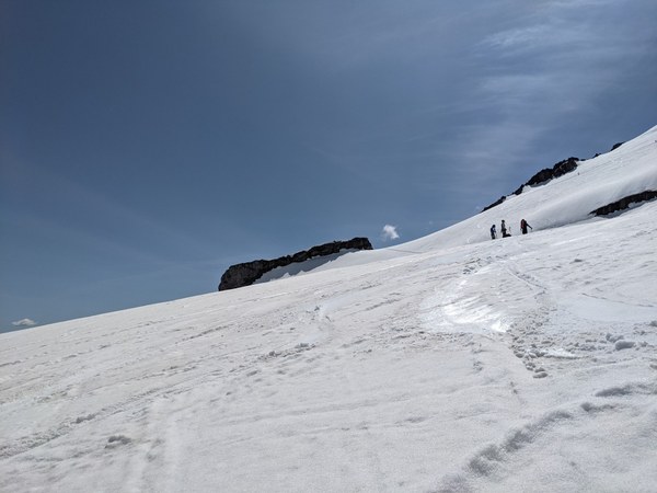
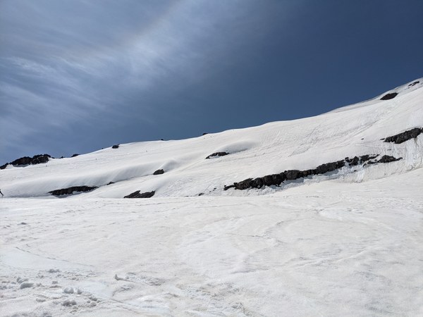
Our path through the glaciers:
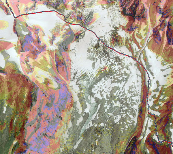
We gained the rock ridge at 7700 shortly before 4pm. While later in the season there is actual rock on the rock ridge, it was snow for us all the way under a scorching sun.
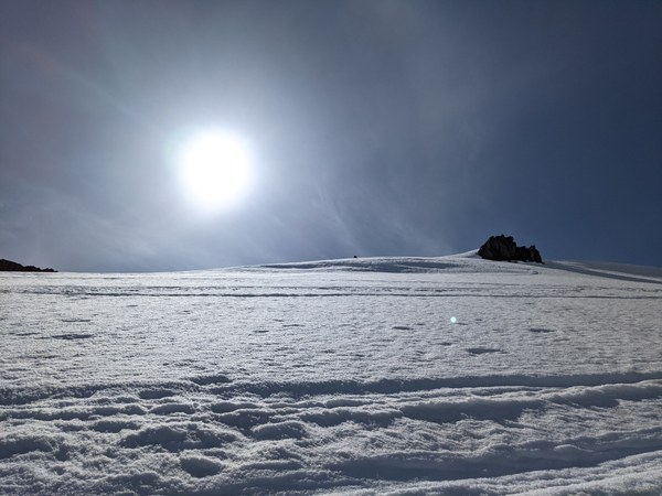
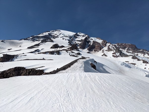
Did I mention postholing? Everyone took turns stamping steps, but as the heaviest person in the group, I was improving steps regardless of my position on the team.
Rebecca on the ridge:
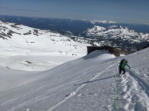
We found most of the skiers camping on the ridge at around 8500, next to a source of water. We met some friends there and took the opportunity to refill (thank you), but decided to keep moving, as the plan was to establish a camp at somewhere in the ballpark of 9500 to maximize elevation gain on the first day. The second day was already going to be brutal, and we didn't want to make it any more brutal than it had to be.
The initial hope was that we could camp close to the base of the route on rocks, but it was pretty clear from eyeballing the glacier that there was no good place for that, and we were running a bit slow on the approach, so we ended up camping at the castle at around 9400. We found nice camp sites on the rock, and a source of water there.
Arrived at the camp shortly before 7pm, just in time to set up, refill water, eat dinner, and prep for the second day.
Given the good forecast, but lingering uncertainty as always on an objective like this, 4-season bivy was my weapon of choice. I was supremely comfortable and warm, and really sorry to only get the chance to spend just barely 4-5 hours inside this luxurious cozy mountain-front accommodation.
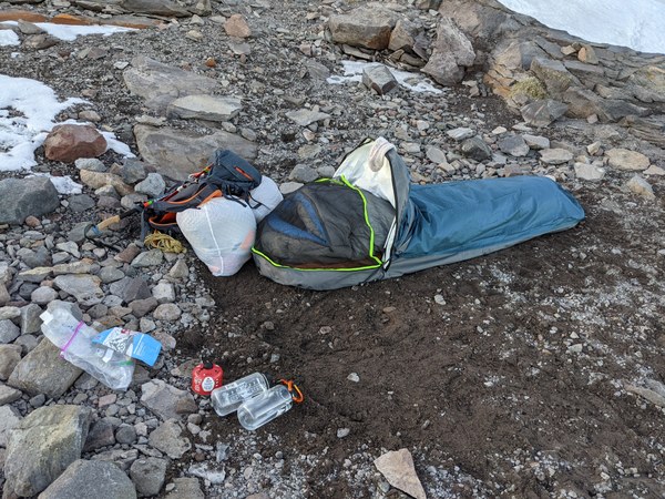
Five liters of fresh water and spaghetti with meat sauce filled my heart with happiness. I enjoyed and lived in this beautiful moment.
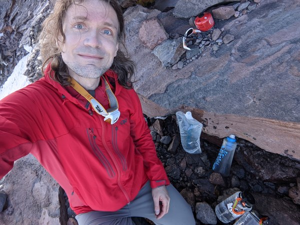
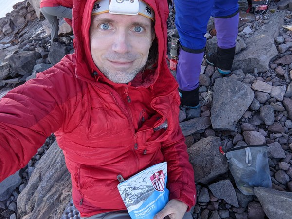
Enjoying the sunset while thinking of the meat sauce, tucked in comfortably in my bivy bag. Life is beautiful:
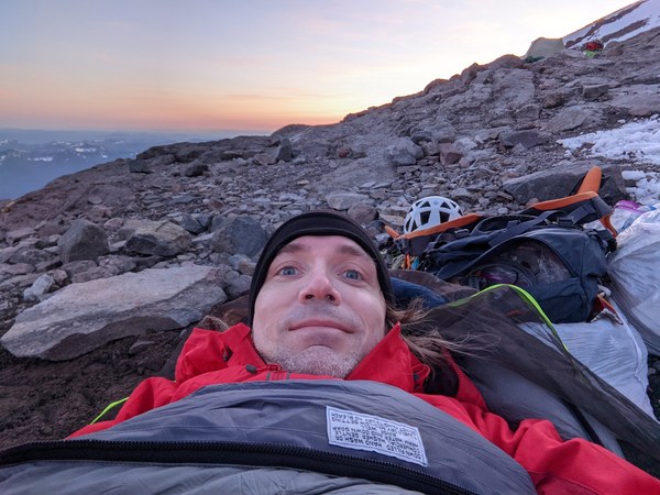
As I lied in the bivy, the route was right in front of my face:
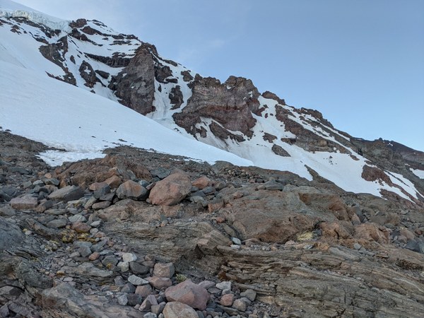
The sunset was soon replaced by fuzzy little circles that peppered the sky, and that I assume must have been the stars. Didn't have my prescription lenses, but enjoyed the view anyway. There was a bonus half-moon, too, as a backdrop.
The tentative initial plan was to get up 2am and move out of the camp by 3am, but given our slow pace and the insane number of skiers aiming for the route, we adjusted it to wake up 1am and roll out at 2am to try and beat the crowd. In the end, we left the camp closer to 2:30am, but having camped a good 1000 feet higher than the crowds, we had a slight advantage over the group, and we passed some parties on the way, so we ended up being one of the very first on the route.
Crossing the glacier to the base of the route was pretty straightforward. There was a huge scary gaping crevasse right by the camp that I almost stepped into, and that we had to end run on the right, but otherwise a pretty straight shot.
Our route to the base of the finger:
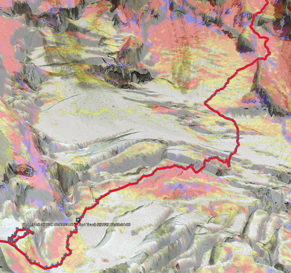
The only mildly annoying part was a fair bit of traversing, but all low-angle, and ski tracks from previous attempts made it manageable, so no complaints there.
We entered the finger at 10K at about 3:45am (so just a little more than an hour from the camp).
The finger was very sun-cupped hard snow, full of little bowls that made for half-decent footsteps. It really helped not having to kick steps on this long route.
We traveled roped up, with 2 tools mostly for balance except for a few marginally steeper (but still moderate) bulges going over some deep moats, where swinging them into the snow provided some margin of safety. Whereas the climbing was easy enough that we didn't place any pro in the finger, pretty much the entire route was high-consequence. An unchecked fall would go on for the length of the route, for a few thousand feet or into a nasty crevasse, whichever comes earlier, a somewhat gnarly prospect that I was eager to avoid.
We exited the hourglass at 11,300 at around 5:45am, just about 15 minutes from the sunrise. Good timing. By then, a lot of skiers were on the route right behind us, catching up quickly.
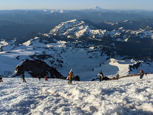
Our path through the hourglass, mostly hugging onto the rock on the right to avoid projectiles:
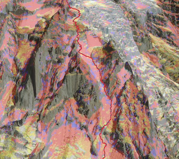
As mentioned in some of the recent trip reports on a social networking website, upper Nisqually was very broken up, and the usual route up the glacier was impassable.
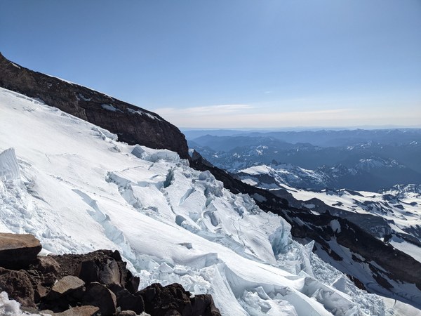
Thus, what we need to do is continue up the snow slopes trending climber's left, and gain the rock ridge to the top of Wapovety.
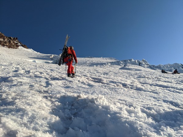
From the social networking post, we knew there was a moderate, but exposed "ramp" to gain the ridge, but reports of the ramp were somewhat conflicted. Word was, there was some 55-degree ice for a couple of pitches, albeit not terribly sustained. We brought 2-3 long screws and 2 pickets per person, just to be safe.
Albeit there may have been ice in April, by now we did not find any ice anywhere on the route. The ramp was a patch of hard snow with a crevasse. Decidedly high-consequence, but technically very straightforward climbing. I did not have the clarity of mind to take a picture of it, but it can be seen (not really) in the upper left corner of the picture below.
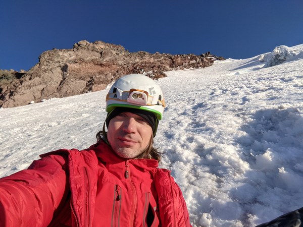
Anyhow, it lasted for about a pitch or so, and we protected it with 4 pickets. Climbing was easy, but since a fall would end up badly, I tried to at least keep my distance.
All in vain. Midway through the ramp, a large crowd of skiers started pouring onto it through an alternative snow bridge entrance, all back-to-back, placing no pro, running parallel rope teams, and forming a bottleneck.
While it was very understandable that everyone was trying to be mindful of the need to more fast, in the eyes of my imagination I saw one person slipping, and taking out a couple dozen with them.
Anyhow, the 50m rope that I brought was more than sufficient. The ramp gained rock a lot faster than it apparently did in the GPS tracks from April. We did not belay this section, only simuled with a meat belay from a solid stance on the rock, which felt adequate.
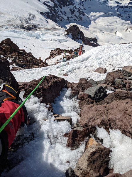
After that, there was another pitch or so of a somewhat expose traverse, which we again protected with a few pickets. As nobody else was placing any pro, we waited to let some skiers pass through, but had to eventually cut back in to make progress.
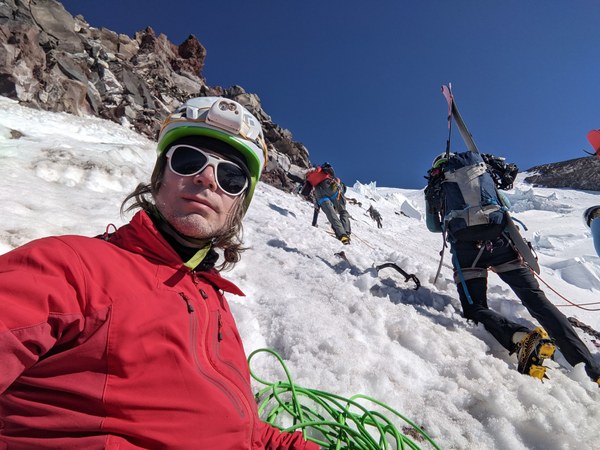
Gained the top of Wapovety at around 13,000 at around 11:30am, so about 8 hours after we entered at 10K. Only about 3K elevation gain over 8 hours was decidedly slow, in part due to the bottleneck and in part due to fatigue, which was definitely setting in by then.
Rebecca reaching the top of Wapovety:
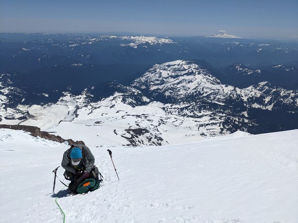
We still had 1.5K to go, and although the steeper and more exposed parts were done, the altitude was definitely felt. Two on the team had headache that was countered by Ibuprofen. I did not have headache, but I had developed some cough in the camp. None of us experienced worsening of the symptoms, though, and we felt fine at the summit.
The faster team moved first, and used the time to boil water in the crater. If you squint your eyes, you can see them in the middle. The rest of us joined by around 2:30pm.
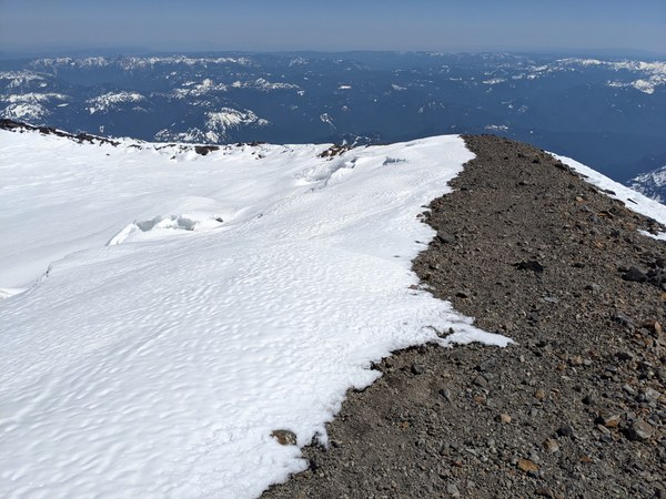
Obligatory war face at the summit:
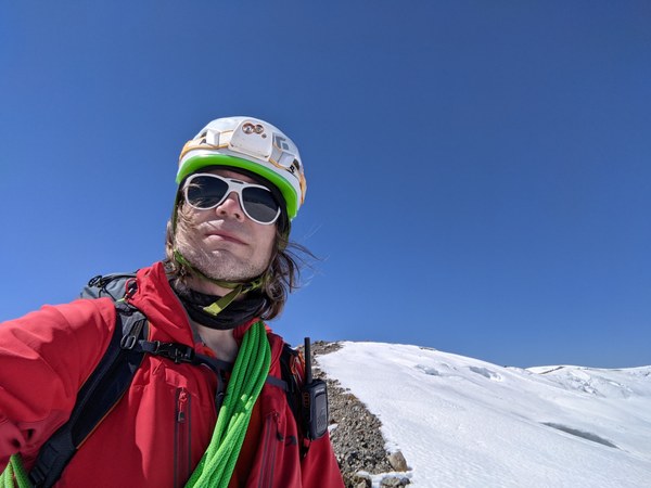
Although this wasn't my first Rainier summit, I found some tears rolling down my face. I would assume this must have been from all the pain and exhaustion, but I did not get to enjoy the moment, as my eyes instantly filled with suncreen, and it felt like someone pulling my eyeballs with a pair of tweezers.
After a bit of rest, we hit the descent route at 3:15pm. We knew that the guides switched to DC, so it was a safe bet, and we found the entire route freshly wanded. There is not much to say about it, other than it still sucks as much as it always does. There was still a bit of snow on DC that might have made it suck marginally less, because it somehow ended a bit faster than I expected it would.
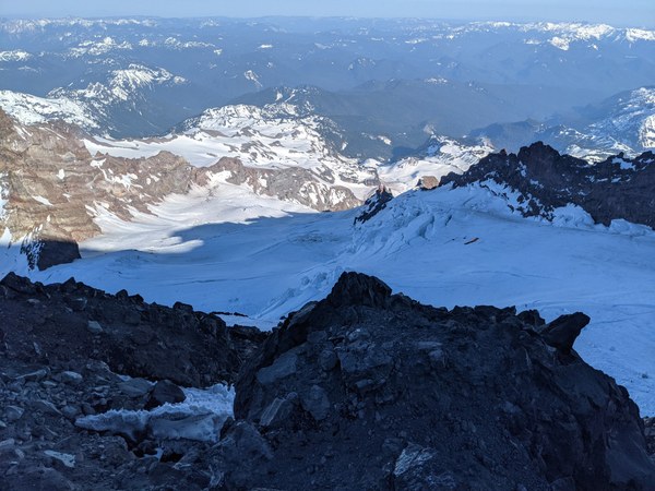
Just to round up our adventure, though, one of us had a microwave-sized rock roll onto their hip, and one of us stabbed themselves with a dirty crampon.
There were no ladders on the route, and only a few small steps. One handline near the end of DC.
We cleared DC by around 7pm, Cathedral Rocks by around 8pm, and entered Muir at 8:30pm, just minutes from the sunset.
After taking advantage of the facilities Muir has to offer, we contemplated our options. We were tired, but we planned it as a 2-day climb. The default option was to keep going down, and so we have. The faster party went down first, and the slower party briefly followed.
Left Muir 9:15pm, took a few breaks along the way, and reached the parking lot in about 4 hours, well after midnight.
We were all wiped out, and driving home was clearly not an option. Slept in the cars, got up early drove back in the morning to dial into a 10am meeting.
The entire route we climbed:
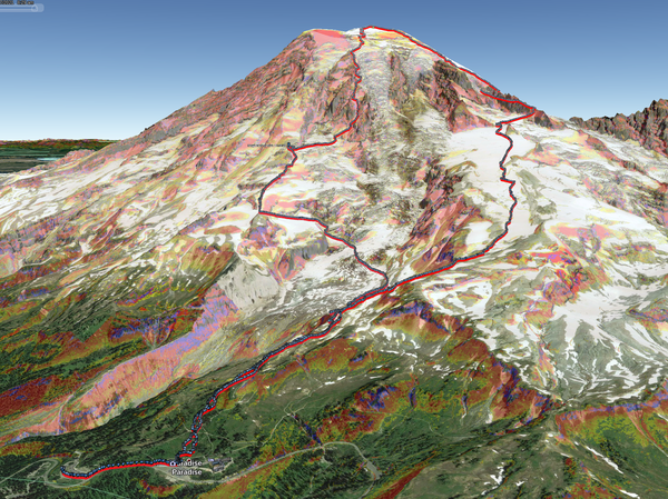
Overall, this was an outstanding experience. Technically not very challenging, but an exposed and beautiful route up our favorite mountain, and the carryover definitely kicked out butt. I'm glad to have done it in such favorable conditions.
 Krzysztof Ostrowski