Trip Report
Jumbo Mountain
Difficult route finding, steep ascent, stunning views.
- Sat, May 22, 2021
- Jumbo Mountain
- Scrambling
- Successful
-

- Road suitable for all vehicles
-
The last few miles is on a gravel road, but not a problem. It would be hard to pass an oncoming car though as not many places to pull aside. Our route.
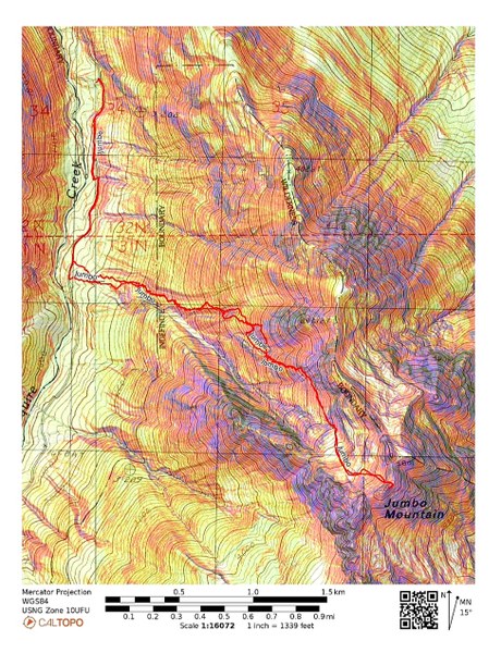
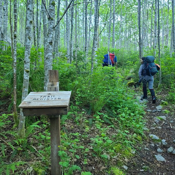
This was not an official Mountaineers trip, but we were all Mountaineers except for 1 person. The 5 of us left the Squire Creek Trailhead at 7:20am using a track Dave Brunner had from his previous trip and an amazing hand drawn map drawn by Steve Russell years ago. And even with all this, the navigation was not easy.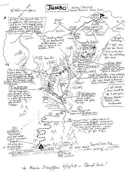 The trail is flat and soon we pass an empty trail register.
  In about a mile, we start looking for a cairn that's supposed to mark where we are to leave the trail. We find 3 larger rocks lying next to each other that coincides with where the track leaves the trail. With a bit of searching, we also find some pink flagging so we continue on, heading east on a faint trail. We keep an eye out for more flagging which is pretty sporadic. Often all that's left are little pieces of pink on the ground. The forest is lovely and the faint trail steep as we continue up.
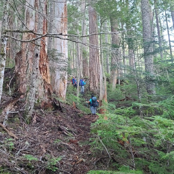 Just below 3000' we cross the first of 2 gullies as shown below.
 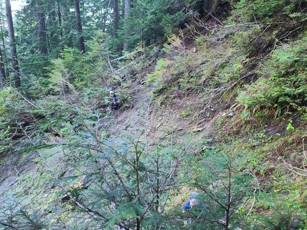 We continue up doing a rising traverse heading for gully #2. We run into a cliff and need to drop about 100' in order to enter gully #2.
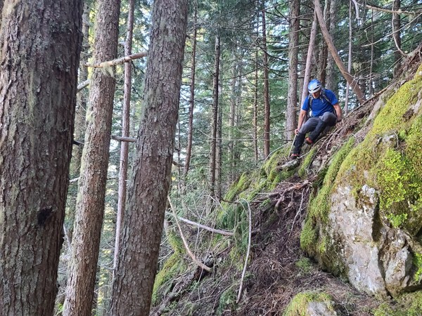 Once down, a little bushwacking and we're in the gully (3400'.)
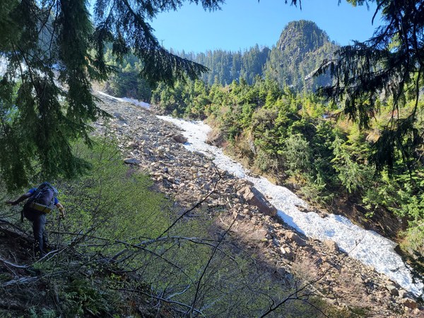 After a break we continue up the gully looking for a way to exit the it.
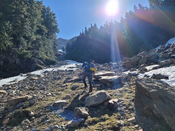 About 500' up the gully, we exit it. Looking down at Xiulan climbing out of the gully.
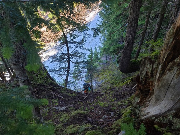 Once out, we continue up.
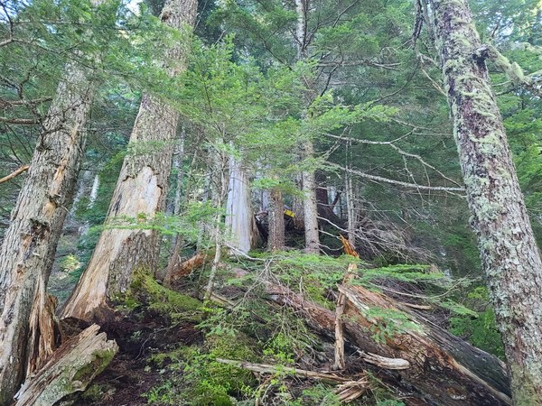 Finally, at about 4300' we break out of the trees to stunning views and our route to the summit. After taking another break, we start our traverse under the rock-wall.
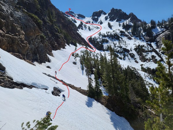 Getting closer to the snow gully that will take us to the lower and upper basins.
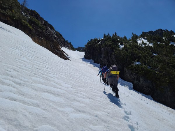
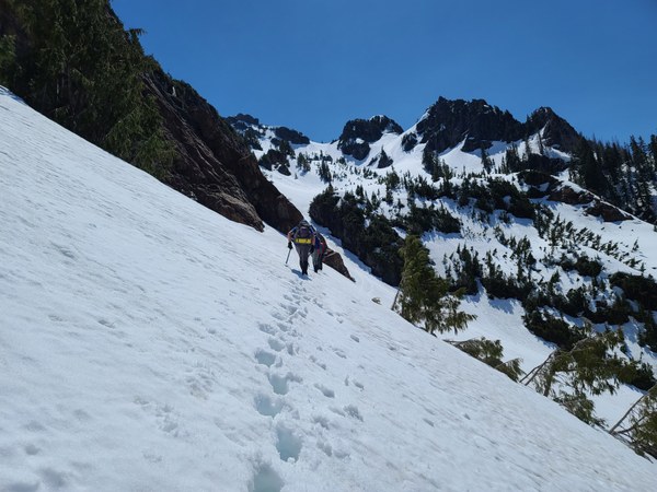 Up the snow gully we go.
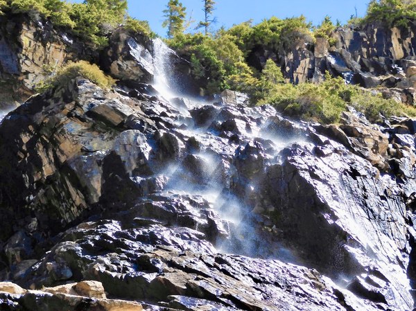
 Passing by a waterfall beautifully captured in a photo by Xiulan.
 Arriving at the lower basin and continuing to the upper basin.
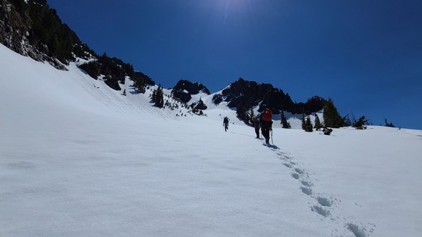 Taking a break in the upper basin and looking at our route.
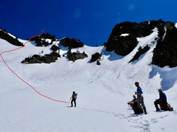 Getting closer.
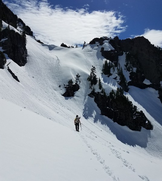 Looking back at beautiful Whitehorse and the lower basin.
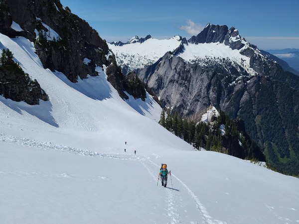 Arriving at the saddle and now for the last bit of rock to the summit.
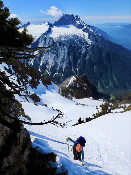 Rock ridge to the summit.
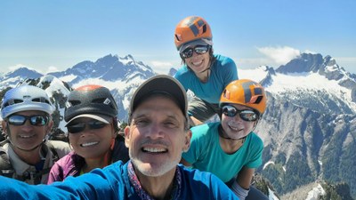
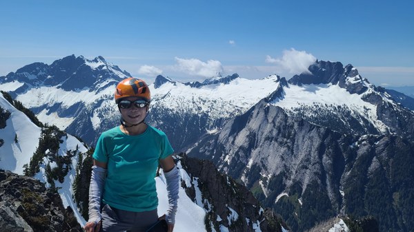
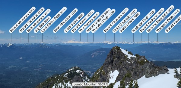
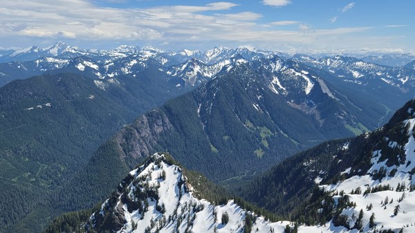
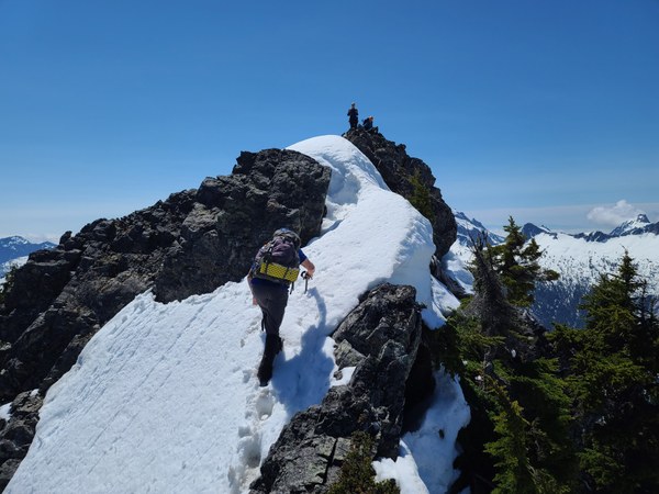 The views from the summit are amazing on this clear day. Three Fingers and Whitehorse.
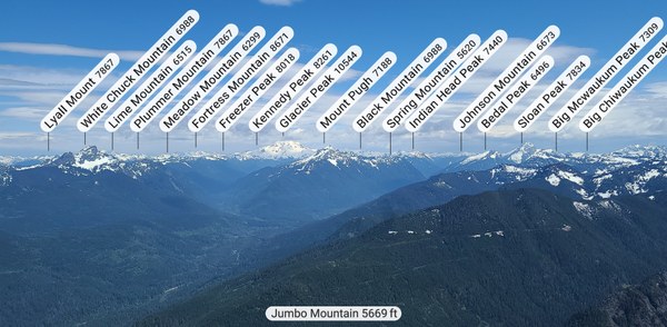
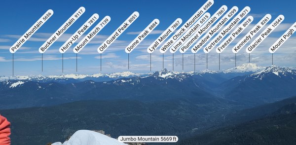 Darrington below.
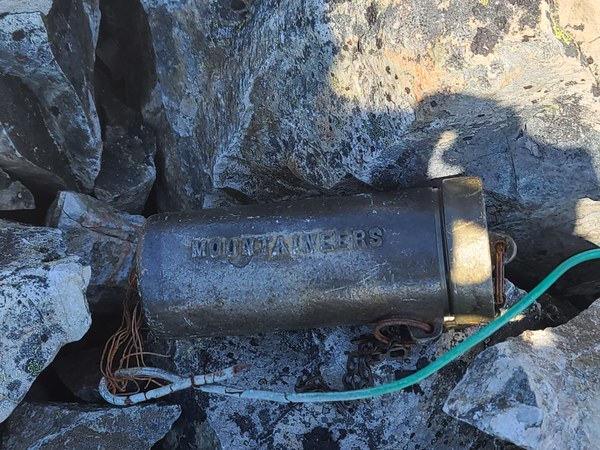
 Love seeing these on a summit. Rarely these days.
 After a half hour on the summit, it's down we go.
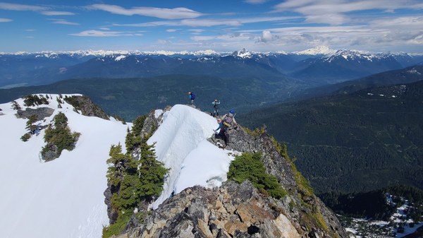 A fun and long glissade down from the saddle to the upper basin.
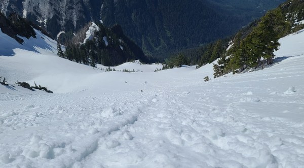 A short walk and then a 2nd glissade down to the lower basin.
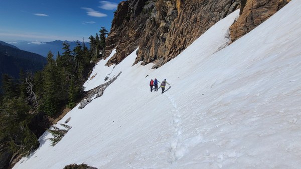
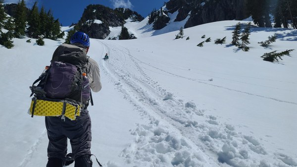 Down the steep snow gully and across the runout traverse.
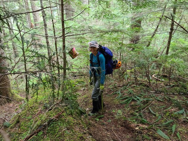
 We traverse gully #2 higher, at about 3600' on the return which worked out better. It's a steep downhill until we hit the trail again. An interesting trail marker once we're back somewhere on the faint trail.
 About 7 miles RT/4600' gain. c2c was about 12 hrs with 1/2 hr on the summit and a couple longer breaks. Many thanks to Dave Brunner for offering to help us get this summit. Having someone who had already done it a few times really helped.
 Susan Shih