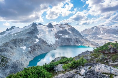
Trip Report
Lynch Peak and Jade Lake Loop
A 22.2mi and 7,283ft traverse through Alpine Lake wilderness area to cap off the summer while beautiful Fall colors started to paint the landscape
- Sun, Sep 18, 2022
- Mount Daniel
- Scrambling & Trail Running
- Successful
-

- Road suitable for all vehicles
-
Easy forest road drive that usually cuts at leat 10-15 minutes than google map time estimation.
This is my second time in Alpine Lake Wilderness area since TC and I tagged Mt Daniel three weeks ago. This area has always been a special place in my memory. My first hike in Seattle was Mt. Baldy. I marked several prominent peaks on Gaia and Mt Daniel was one of them. The film I took that day reminded me of how awe inspiring I was when I had the first look of Mt Daniel. It felt so massive! My love for Alpine Lakes Wilderness has its seed planted at that point.
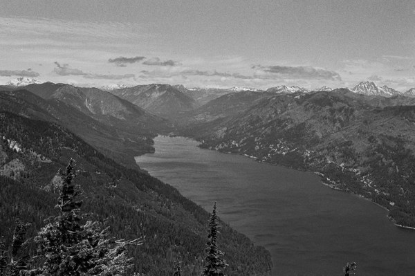
Mt Daniel on the left overlooking from Mt. Baldy
It took me more than two years: with some wilderness travel experience built up and gained more confidence in my physical endurance, I felt like I could push a bit more into technically terrain.
My friend Frank had his objective of going to Pea Soup lake in a day and inspired by the mega loop did by Klye a week ago and tracks from Stuke and John on Strava, Frank, TC and I took a chance of last few weather windows and decided to traverse to Lynch peak and completed with Jade lake as a loop. This loop will provide us several opportunities to get a closed look of alpine lakes and pass by some glaciers. At certain level, it could be a pilgrimage to pea soup lake, Daniel massif, Hyas creek Glacier, Daniel Glacier, Lynch Glacier and Dip Top Glacier. And Autumn is a perfect time of the year to see exposed crevasses which covered by snow most time of the year. Things are aligned perfectly!
Frank is a driving machine, he once drove to CA from Seattle in one day and could manage to adjust his sleep schedule on the fly. Frank drove us from Seattle at 3:45am to meet TC who slept at the trailhead. We left cathedral rock TH at 6:10 am. Morning light shined through red carpet leaves and we quickly got the first look of cathedral rock at 8:00 am just about the same timing as last Daniel trip.
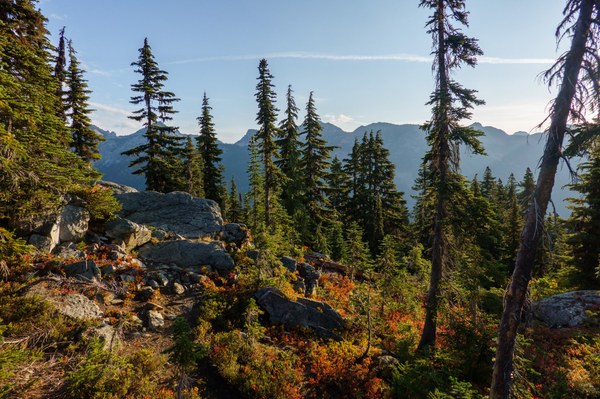
TC, Frank and I all stopped spontaneously to soak in this full bloom of fall color! PC: TC
At 8:50 am, we made it to Peggy’s pond and I filled up my water bladder. Given we will pass by many alpine lakes, tarns and snow melted streams, I only packed 1L of water which I found it enough throughout the trip even for a heavily water consumed hiker like me. Peggy’s pond is as pristine as last time, where a few weeks ago I had the best alpine lake swim I have ever had!
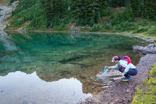
PC:TC
After Peggy’s pond, we soon got our first look of Mt Daniel. Now, the fun part just started. We have 6 miles and 3.6k ft off trail terrain to cover. But I totally underestimate how much time it would take us. In hindsight, given it’s my first long off trail traverse and I’m still learning how to navigate efficiently, I should have researched more thoroughly. Since I had previous gpx track, so I didn’t search for the descent beta from the other side of Lynch Peak. With a more reasonable time estimation, it would be good for mental preparation.
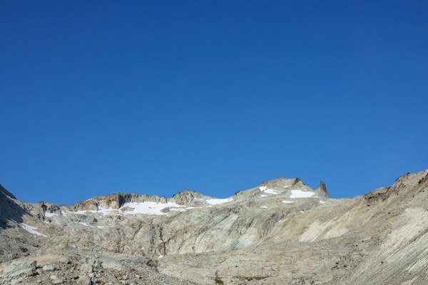 Felt like returning back to Whitney. But with glaciers and perfect Fall temperature. PC: TC
We started with pre-course granite slabs. A great appetizer to test on the grip of my trail runners. It felt rare to walk on this clean and open terrain at PNW. It reminded me of the beautiful clean slabs back in the High Sierra.
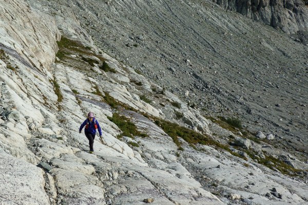
I felt really happy on these clean granite slabs! Kudos to my grippy dynafit trail runners! PC:TC
We passed by several azure blue tarns which have already drew my attention while last time looking down on the ridge approach to Daniel.
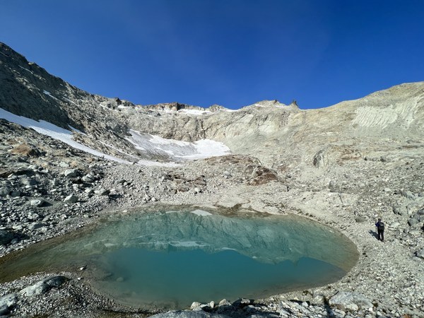
A tarn “portals to sky” Andrea commented on Strava!
A bit surprised to see Monkey flowers are still in full bloom in the alpine. My first encounter of monkey flowers was along the river back on the wildflower trail run at Rainier in August.
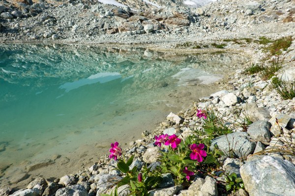
The monkey flowers! PC:TC
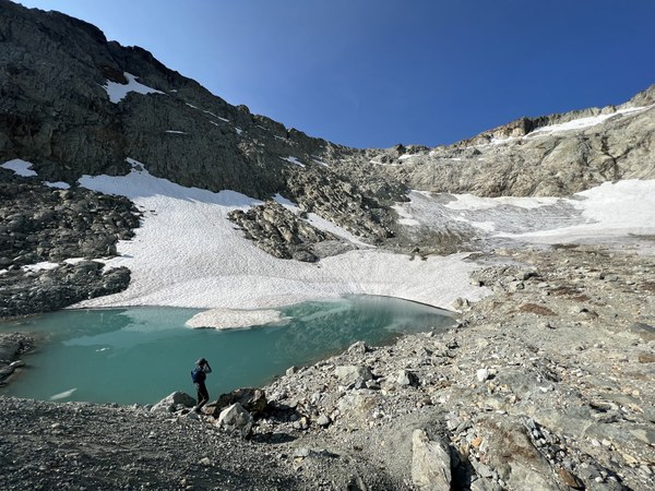
A typical pose of Frank! Hyas Creek Glacier that once carved the terrain with alpine tarn in front
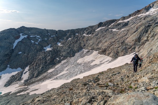
Traversing over talus field with Hyas Creek Glacier in the background PC:Frank
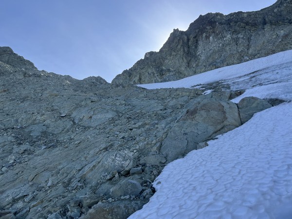
It always felt satisfying to see the terrain we just covered!
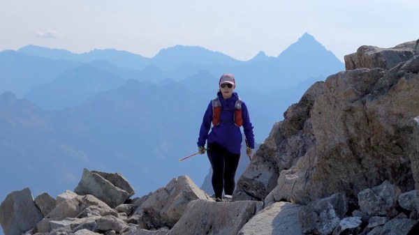
Mt Stuart in the background! PC:TC
After a short scramble down and traverse on talus field, we got to one of my favorite sections of the trail. I felt like running on it with our objective Lynch peak in sight.
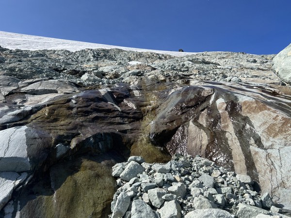
Jumping over several snow melt streams
TC started to play “Go! Daniel!” to wish Frank good luck on his attempt of Middle peak of Mt Daniel, while we enjoyed this section of beautiful terrain. I felt like a dance on these slabs and TC said he felt like channeling a mountain goat.

PC:TC
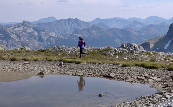
A dream of Alpine Lake PC: TC
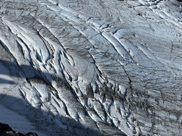
Lynch Glacier
We soon got to the ridge that links between middle summit of Mt Daniel and Lynch peak. The mountains reveal themselves as I followed along the ridge. I climbed up a bit further just to get a closer look of the glaciers and Daniel massif!
I suggested to sit in front of Lynch Glacier while waiting for Frank coming down from Daniel. It’s the perfect time of the year to take a closed look at the crevasses before Old Man winter comes and brings snow to cover them.
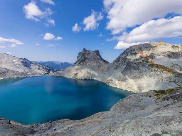
The route we took to Lynch peak. Clouds are moving in and elegantly leave their shadows on Pea soup lake PC:Frank
Soon, Frank joined us from his Daniel attempt. The last section of snow slope was really icy, so he called it off. In hindsight, it would be nice to have an ice axe if ever tag Daniel.
As we were wandering up on the ridge along Pea soup lake, we heard a whoop and saw some cracked ice chunks dropped down from the cliff to the lake. The mountains are roaring in the distance!
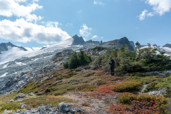
Vibrant colors contrast with the massive white glacier field PC: Frank
The heather meadows are turning colors and they are giving their own show in the mountains!
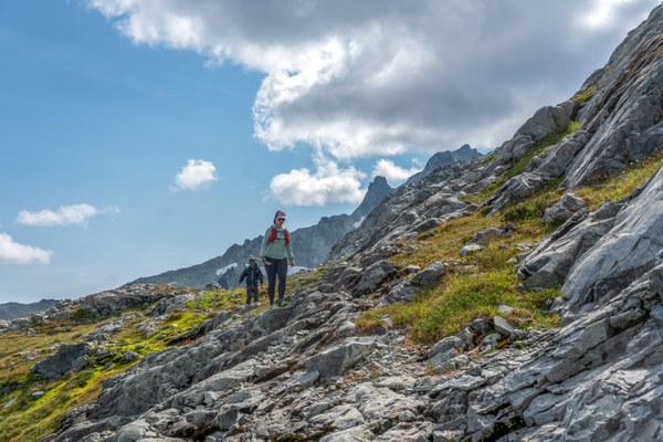
PC:Frank
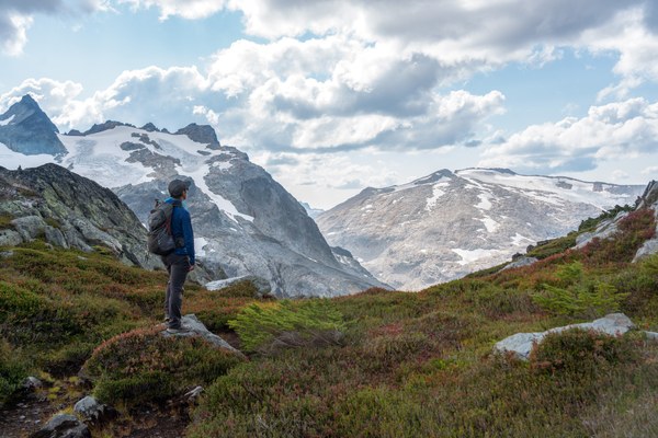
TC overlooking Mount Hinman. Next objective? PC: Frank
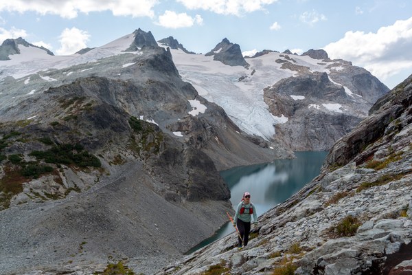
Daniel Massif! PC: Frank
Along the way, Frank and TC were joking about we were not able to drink the pea soup. Hah, probably it’s the only drawback of the trip. A straight walk up quickly lead us to Lynch peak at 3:20pm. Almost 6 hrs of off trail travel at this point.
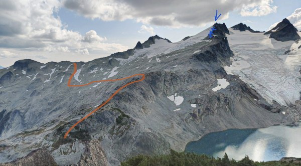
Looking back to the terrain we came from, the blue cross is where Frank reported to be icy at 7800ish ft. Kyle's group reported that the snow up on the middle of Daniel Glacier was quite soft to kick step, where they are on lower angel terrain. Interesting that how snow condition could be different over a week and on different part of snow slope.
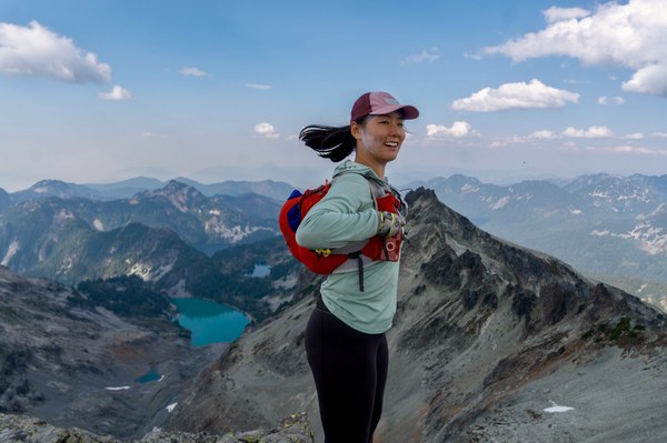
At highest point of the trip! PC: Frank
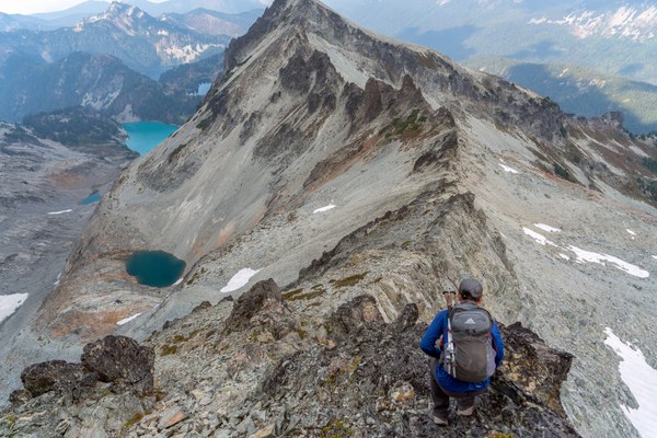
Dropping down along the ridge! PC: Frank
We followed along this beautiful ridge line which reminded me of forbidden west ridge, one of the 50 classic climbs.
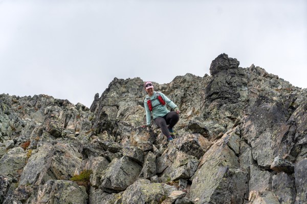
Fun Scramble! PC: Frank
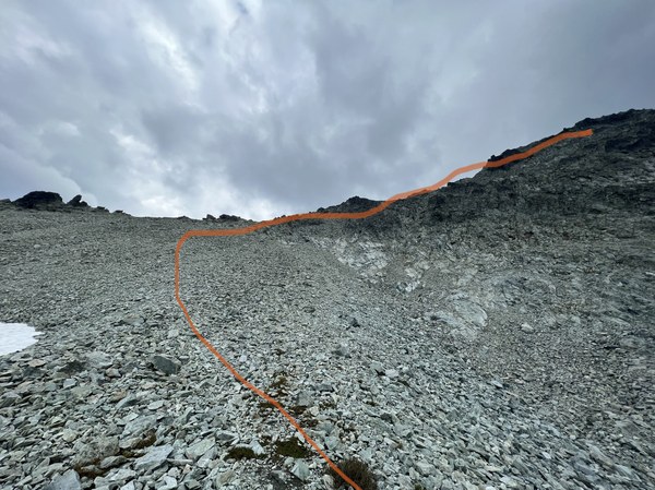
After the ridge scramble, we got to the biggest crux of the whole trip. The clouds were rolling in and some huge rain drops were falling. I tried to squeeze last bit of brain power for this steep scree section and it ended with a quite exposed rocky section but could be done with a reasonable downclimb where you could find good ledge and foot holds on the rock.
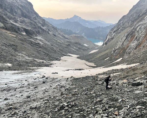
Finally, we mananged to get down to the moraine on dip top glacier. I used my trekking poles to give a test on the ice underneath the scree. Hard as rock. Good that it was relatively low angel and we took it really slow while going down on some loose scree with icy slope underneath.
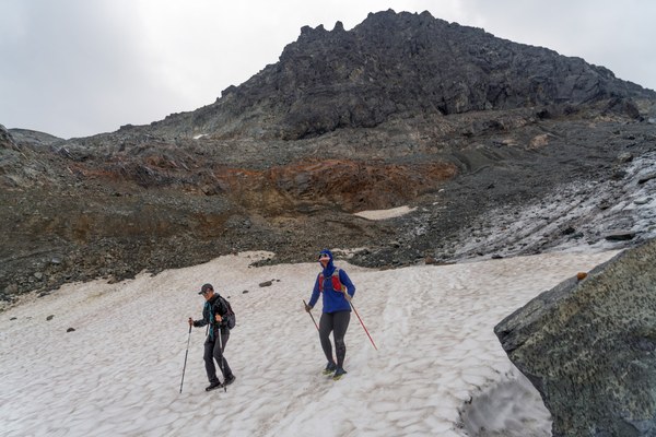
PC: Frank
Finally, we finished the off trail section on the snowfield. A cry on ice and a smile on snow! What a roller coaster ride. Thanks to Frank for capturing the moment of how much joy the snow brought to me. The snow slope is quite sticky in the afternoon but we put on microspikes just in case.
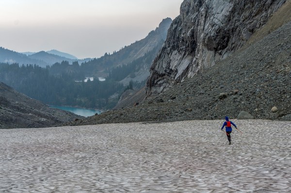
PC: Frank
Still a boot skiing season, but actual ski season is not far away! Woo-hoo! We cruised down to Jade lake and gained back some elevation through brushy trail. We finally saw a few camps around Jade lake and realized that we only passed by one group of people after Peggy’s pond.
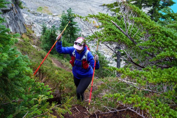
PC: TC
It was a relief to see Jade lake and get back on easy trail.
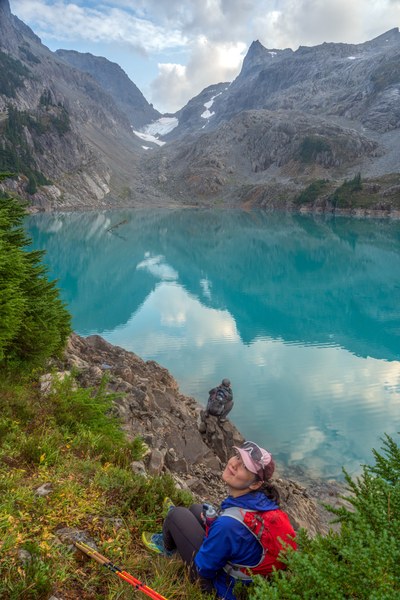
PC: Frank
Looking over Jade lake of the snowfield that we just came down, a sense of contentment filled my heart. Jade lake is special. Not just for it’s color, but it is my initial impression of how beautiful the mountains are in Seattle and how fun adventures could be. I remembered watching a youtuber backpacking around an alpine lake and running up to the glacier nearby. It felt like something I wanted to do.
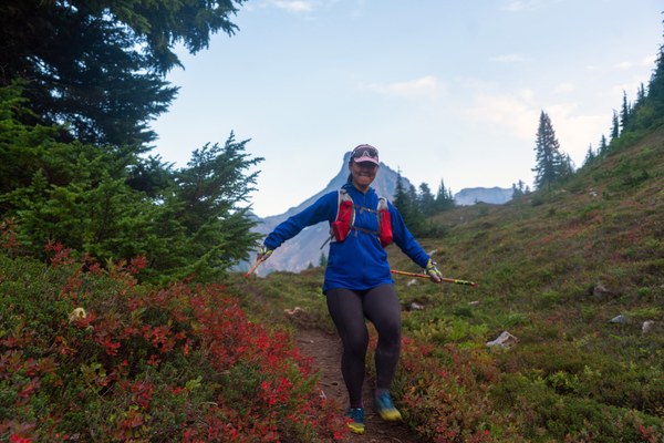
PC: Frank
Our feet were all really happy when getting back on the trail. Frank was mentioning even with the rain drops that made the trail felt softer. Somehow, I got a wasp/bee sting while descending. Whoops it is bee season in the PNW. We were all not sure how to deal with it, so I used Garmin to get in touch with my friends. Their quick responses were a great stress relief for me.
After that, it was a long night hike with some open discussions and reflections of our trip. With the company of friends in the dark, it was also a great morale booster to end this long day.
Kudos to TC and Frank who captured all these memorable moments. TC had his own great taste in landscape and Frank(ins: https://www.instagram.com/frank.hbl/) did great job in capturing the moments of the group!
This is one of the biggest day I have ever had in the alpine. After some trail runnings over the summer with some scrambles added on, it felt great to conclude this summer with a trip that blended navigation of the terrain, trail running and scrambling. This trip just talked straight into my heart.
It was this kind of day in the mountains that made me more humble to continue to learn as a student in the mountain classroom. There are also a grow of curiosity for the landscapes in the Cascades and a reaffirmation of how much more full-hearted adventures and exploration that could expand over the lifetime. At the end, this is just another love letter to the Cascades!
 Wanhe Zhao