
Trip Report
Mount Constance/South Chute
Successful summit of an aesthetic and complex peak in the Olympics.
- Fri, Jul 21, 2023 — Sun, Jul 23, 2023
- Mount Constance/South Chute
- Climbing
- Successful
-

- Road suitable for all vehicles
-
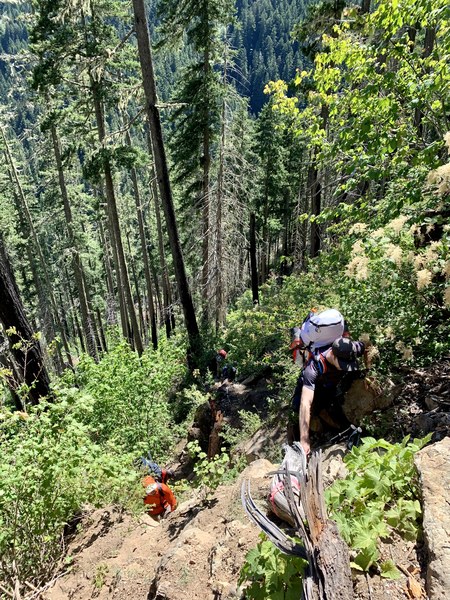
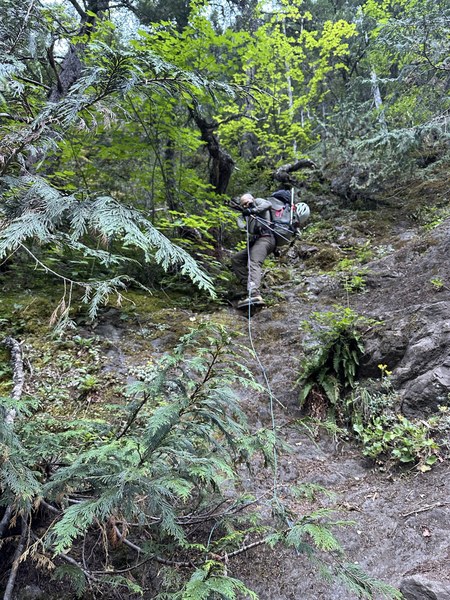
Dosewallips Rd remains washed out 5 miles before the Lake Constance TH. Hike from road to Lake Constance is steep (3K+ feet over 1.8 miles) with many blow downs to navigate and several sections of scrambling.
Route above lake is in good condition, remaining snow patches are firm. Our team used the Finger Traverse variant, but if planning to attempt the Terrible Traverse, several pickets would be advised to protect the route (firm steep snow above a cliff).
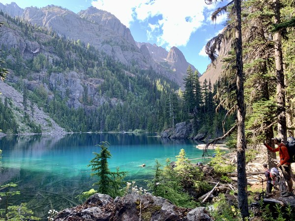
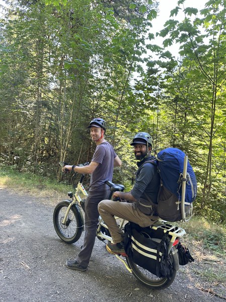
Our team arrived at Dosewallips Rd TH mid-day on Friday and used e-bikes to ferry packs up to the Lake Constance TH. The hike to Lake Constance is steep and involves navigating many blown down trees and several sections of scrambling. The trail can be difficult to find in places and we used a gps track to stay on the trail. Constance Creek was dried up on the lower half of the approach to the lake, but was flowing well in the upper section. There were plenty of good camp sites at Lake Constance on the North side of the lake, including a composting toilet, and bear wires (overnight permits required - secured via recreation.gov). We chose campsite 6 which had enough space for 4 tents and a bivy and easy access to the lake for water.
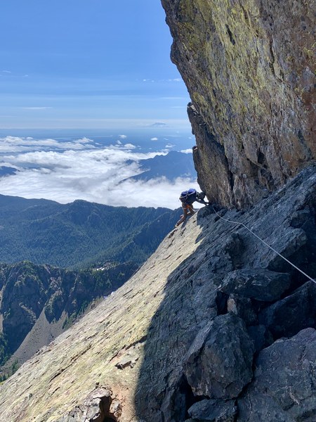
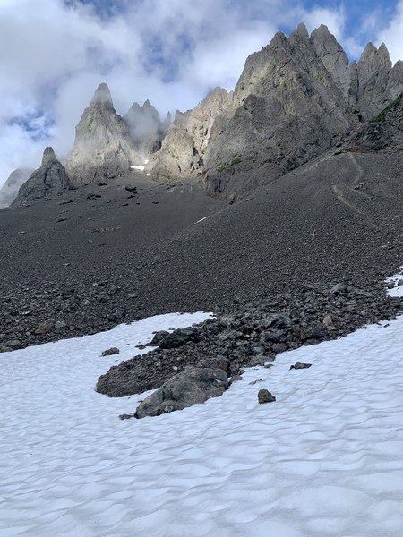
We started climbing at 6a and arrived at the Finger Traverse (~7400 ft) at about 11a with most of the 2700 ft gained on scree. We protected the Finger Traverse with a hand-line due to exposure. The most difficult move was getting around the corner as balance is a little awkward with a pack. There were plenty of features in the rock that took mountaineering boot edges well. We unroped at a natural break in the traverse around the corner and continued on easier, less exposed terrain to the end of the traverse.
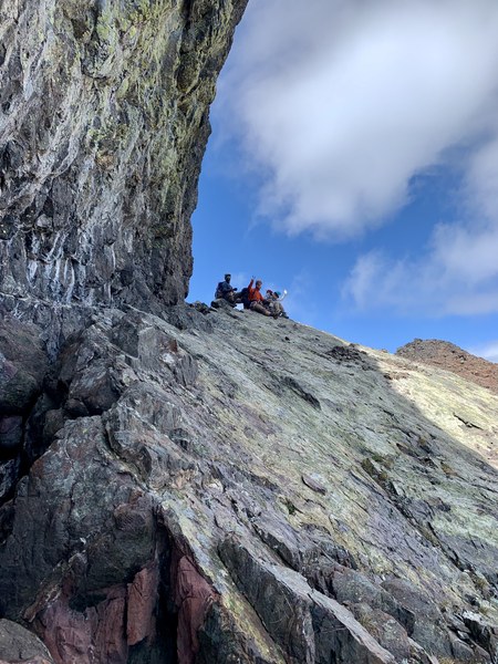
At this point, two team members decided to wait for the balance of the team to tag the summit as the route ahead looked steep and exposed from this vantage point.
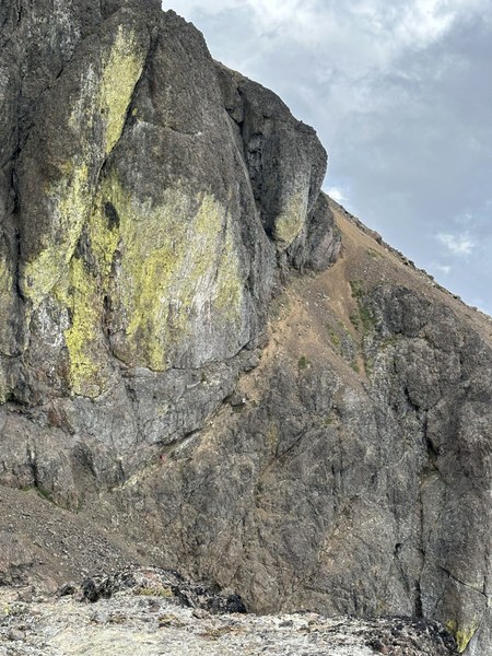
When climbing, the route was less exposed than it appeared from a distance. We summited at about 1p and were back through the Finger Traverse by about 3p and to camp by 6:30p.


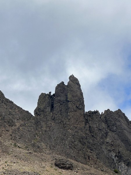
We stayed a second night at camp and required almost 3 hrs on Sunday morning to descend to the Lake Constance TH.
We packed up and rode back to the Dosewallips Rd TH on bikes (highly recommended) and arrived at the cars about an hour later.
This is a beautiful and complex climb, but the scree ascent takes away from the overall quality of the climb.
 Ben Chapman