Trip Report
Mount Jerry Garcia
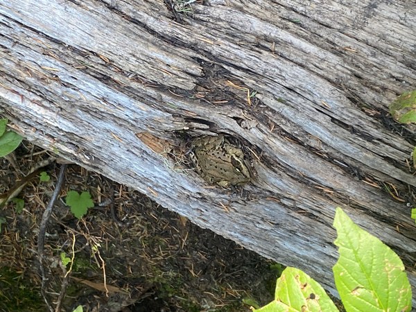
Easy day run to summit and back on alternate route. Lots of berries, wildlife, and views. Totals are 19 miles, 8,600' of elevation gain, with 2.2 miles and 1,700' of elevation gain for the off trail section.
- Sun, Sep 1, 2024
- Mount Jerry Garcia
- Trail Running
- Successful
-

- Road suitable for all vehicles
-
Great trails through the turn off to Lake Vicente, then some downed trees and faded trail. After turning off the Lake Vicente trail to head for the summit, the trail was thick with late summer foliage before opening up to low shrubs on the ridge.
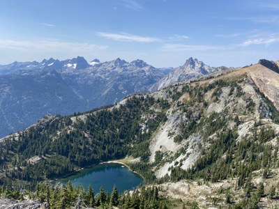
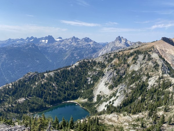
Started and ended at Tucquala Meadows Trailhead and took an alternate route than what is posted. Left early morning to catch the morning dew, although gorgeous late summer conditions meant I had all day to finish. The goal was to follow the NE ridge line so I ran for the Lake Vicente trail. Once there, I turned off trail about half way up to Lake Vicente. It was slow moving while I picked through the small cliffs and thick vegetation. It took 30-40 minutes to gain the ridge line, but once I did I was greeted with a carpet of untouched blueberry bushes that covered the ridge. There was some Class 3-4 scrambling right before the summit but wasn't terribly exposed or hard to navigate. Views from the summit were top notch. I recommend bringing a good attitude, sturdy shins for bush whacking, and having Fire on the Mountain downloaded on the phone. It is a long, not so strange, trip, and definitely worth the effort for any deadheads looking for a run off the beaten path. Would love to know if other people have summited it from this side and am happy to share my own waypoints to anyone attempting from this side!


 Charles McClung