Trip Report
Mount Shasta/Avalanche Gulch
Fun car-to-car day with a whole 15 minutes of sleep.
- Fri, Jun 7, 2024
- Mount Shasta/Avalanche Gulch
- Climbing
- Successful
-

- Road suitable for all vehicles
-
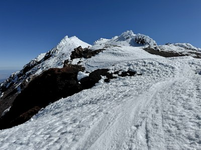
- Snow from parking lot to the summit.
- $25 climbing permit required at Bunny Flats Trailhead.
- There were only a few (8-10) tents up at Helen Lake (for a Thursday night stay/Friday morning start; there were hordes of people coming up to camp on Friday, so plan accordingly).
Nice weather window + good snow + bad forecast for Mt Adams led us to book it down to Shasta instead. We decided to do a car-to-car as we move pretty quickly and dreaded the idea of carrying a heavy pack with us to Helen Lake. We stopped off in Grants Pass, which had a surprising number of pizzerias. We ate at Paisano's, which was pretty good, and got some extra slices for our alpine start.
We started close to 3 am. The tracks we downloaded included a detour to Horse Camp and led to some navigational confusion and unnecessary bushwhacking before getting back on trail. There were only a few (8-10) tents up at Helen Lake (for a Thursday night stay/Friday morning start; there were hordes of people coming up to camp on Friday, so plan accordingly).
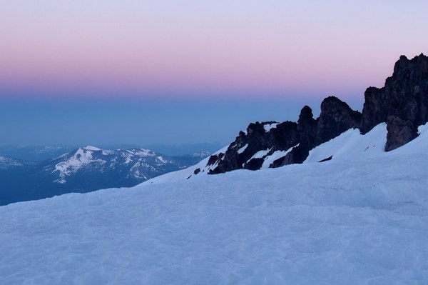
The climb up to the Red Banks was deceptively long and the snow was pretty hard toward the top, but getting to occasionally look back at Shasta's shadow and the sunrise limited the tedium.
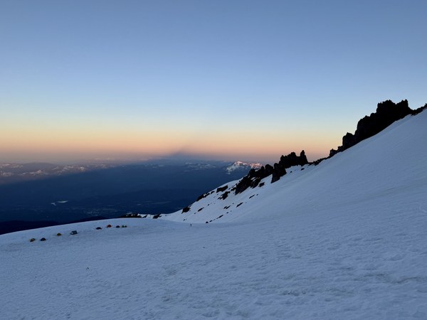
Once you hit the Red Banks, it's only a matter of time before everything goes up again and you're on the appropriately-named Misery Hill. The altitude started to kick in there.
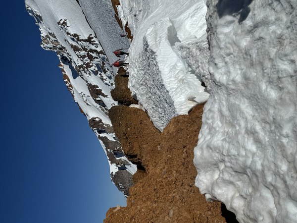
Even after getting on top of Misery Hill, there was still more up to the summit.
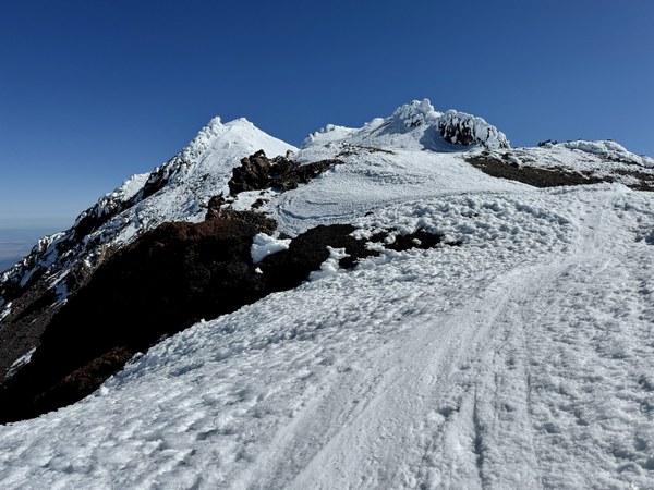
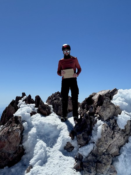
Some skiers up top gave me the summit sign, which I didn't ask for, to hold for my photo. I went with it uncomplainingly as they were such a nice bunch. We enjoyed the summit for close to an hour before heading down.
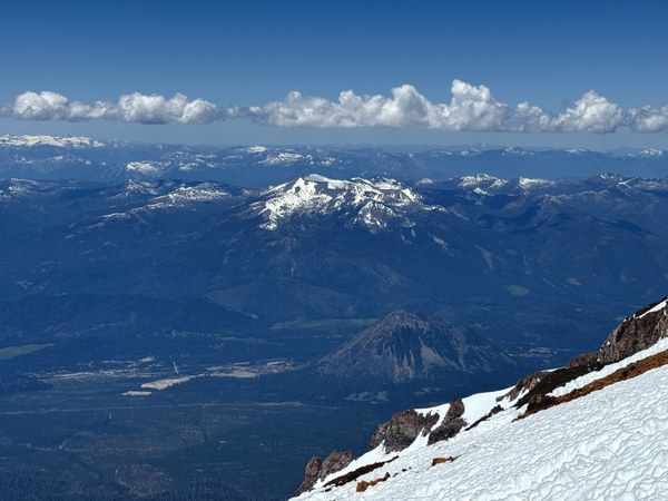
Things started to soften up on the descent, but not so much that I would glissade the upper part of the Red Banks. About 1/2 down the slope angle was forgiving enough, but the snow got really sloppy very quick (it got to 95 degrees in Weed when we drove through in the very early afternoon). At a certain point we'd start doing our glissade with a running start, hoping to get just a little further.
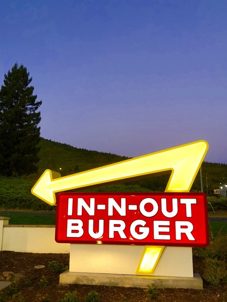
I can't recall when we made it back to the parking lot, but I'm fairly certain it was before 2. From there we headed back home to Portland and Olympia, respectively, but not before stopping off at In n' Out in Grant's Pass. This was a great climb (and slog, but I like those), and if/when I do it again I'd definitely take a split board and do the car-to-car thing again. Plunge stepping 7k is not fun, and not carrying a heavy pack was pretty nice.
 Martin Fisher