Trip Report
Navigation Activity (4 of 4) - Field Trip: Students & Instructors - Raging River State Forest
Rain, snow, and blackberry vines, oh my! Today's completion of Off-trail Navigation at Raging River had it all. My favorite was experimenting with different nav techniques; my least favorite was getting tripped by nasty brambles that sent several of us flying. I wasn't expecting as much bushwacking and now I know why Gaia doesn't work on my phone, so that was helpful!
- Sun, Mar 16, 2025
- Wilderness Navigation - Field Trip - Raging River State Forest
- Raging River State Forest
- Navigation
- Successful
-

- Road rough but passable
-
Today's outing was part of an advanced navigation course with the Foothill Branch of the Mountaineers. The area we practiced in is DNR territory and needs a permit to access, so I'm not sure how useful this trip report will be to anyone but those participating on the field trip next weekend.
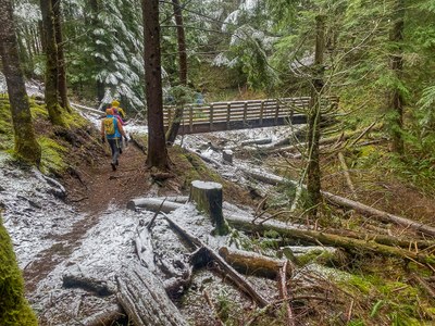
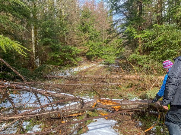
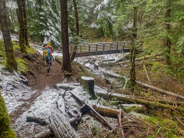
We had everything: wind, snow, rain, sun, even blackberry vines tripping people and soggy logs giving way. We arrived in two waves of students and instructors so everyone could have private instruction time and more realistic practice scenarios. Our field trip lasted from 8:30 (first wave) to 3:45 (last wave leaving). No facilities (thanks trees!)

The approach road (4-5 miles) is pretty rutted (we carpooled) and entry off Highway 18 is pretty heinous coming from Seattle, but I knew that from the prep email we got from our leader. I hate blocking traffic, and a left hand turn with northbound 18 traffic took at least 10-12 cars. Not an intersection I'll willingly choose to visit again. Now I know why Exit 25 is always so backed up.
Once we got started, we had an engaging number of scenarios that gave us practice with map and compass, taking bearings, routefinding through dense forest, inchworming and leapfrogging (perhaps my favorite practice), and then shifting to Gaia use, finally ending with navigation by compass only. Two members in my party of 7 fell with a near-miss by a third; the co-leader opted to not participate in the bushwhacking half of the day. Kind of a gnarly trip, all things considered, from weather to tech to terrain.

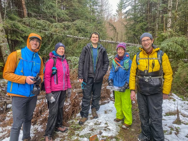
But our group was amazing, our instructor stalwart and supportive, and at the end of the day we had a few sunbreaks. The takeaways were 1) be smart choosing gear (I'm getting a pair of those gloves!), 2) never rely on Gaia in the rain unless your phone is new and waterproof, and 3) old-school map and compass remain my preferred method. No convert here!

Despite the problems, though, the people made the day, especially my navigation partner who also drove the rutted road. There were no facilities anywhere (thanks, trees!) and nobody else up there except our field trip group. On the day we had only five bird species; I'd expected more but maybe the recent snowfall dimmed their song. Lots of learning. Glad I participated, but also glad it's behind me. Rough estimate of mileage after the fact (can you say SPAGHETTI TRACK?? Oh my!): 3.2 miles and 515 feet of elevation gain on the day.
My best advice to those who follow: wear waterproof boots, waterproof gloves, thick pants to prevent getting scratched in the brush (d*#n those blackberries and Devil's clubs!) and bring a battery charger as you WILL deplete your phone battery. Have "fun"! Thanks Michelle, you rock!
 Courtenay Schurman