Trip Report
Northern Bailey Range - Cat, Carrie, Stephen, and Ferry
A five-day lollipop of the northern Bailey Range in the heart of the Olympics, starting and ending at the Madison Falls Trailhead. Along the way we included summits of Cat, Carrie, Stephen, and Ferry.
- Tue, Jul 9, 2024 — Sat, Jul 13, 2024
- Bailey Range Traverse
- Scrambling
- Successful
-

- Road suitable for all vehicles
55.8 miles, 18,244' vert
For a few years now I've had the Bailey Range bouncing around in my head, so for 2024 I figured it was time to go get it.
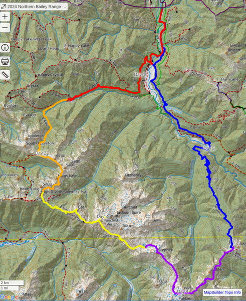
I wanted to do a scramble-only version of the traverse (meaning no glacier travel) and considered doing the northern and southern Baileys and exiting via whatever may remain of the Elwha Snowfinger, however that idea got nixed due to the southern exit still being closed from the 2023 Olympic National Park Lightning Fires. As an alternative I settled on doing just the northern part of the range and exiting via Dodger Point. With this change I decided to save us a car shuttle and do it as a lollipop, beginning and ending at the Madison Falls Trailhead.
The plan was to do the trip over five days with a sixth day built in as a contingency. The contingency day was because I wanted to tag five peaks (Cat, Carrie, Stephen, Ferry, and Dodger Point) along the way and wasn't sure how much time that would add. In the end we tagged four peaks over five days, eschewing the contingency day.
I had originally recruited two climbing buddies to come along with, but unfortunately one had to bail shortly before the start due to an injury so come trip time we ended up as a duo—me and Tim.
Day 1
Madison Falls Trailhead to Boulder Creek Campground (10.6 miles, 2,866' vert)
We wanted to take Day 1 easy, so we left Seattle at 8 AM to head to the Olympics, taking a pit stop in Port Angeles for some Mexican food at Little Devil's Lunchbox to load up on calories before our trip. Eventually we made it to Madison Falls TH and set out along the Elwha River at about 12:30 PM.
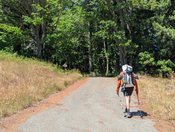
The weather forecast for the week was for sun every day, and the forecast delivered. The "trail" here is actually the old road that was closed due to a washout, and as we walked along the hot asphalt in the sun I started to question my decision to not bring bikes for the two-mile roadwalk to the old trailhead.
Eventually we got to the actual trail and to Boulder Creek Camp, our stop for the night.
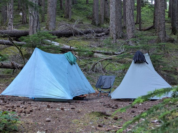
One of the reasons I had wanted to stop at Boulder Creek Camp was to take a dip in the nearby hot springs, but once we got there they were covered in algae and didn't seem too appealing in the hot sun, so we both declined to soak in them.
Day 2
Boulder Creek Campground to Swimming Bear Lake (8.2 miles, 4,275' vert)
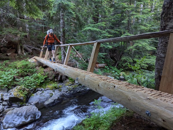
Day 2 was another all-trail day, the main purpose of which was to get us out of the lowland forests and up into the subalpine zone. From Boulder Creek Camp to our stop for the night at Swimming Bear Lake we didn't see any other person, which was a sign of the solitude to come.
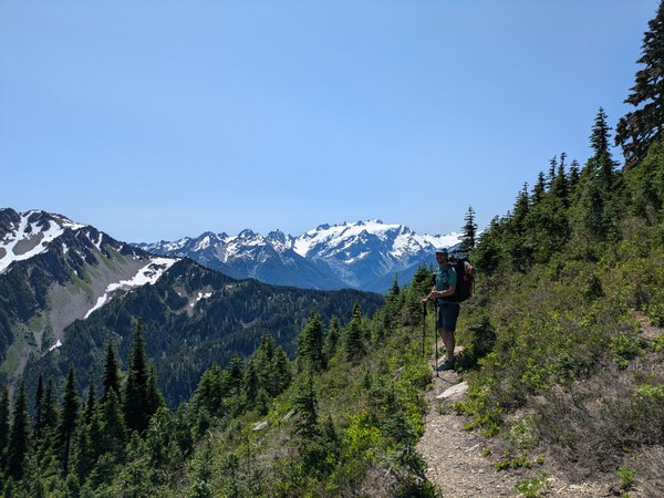
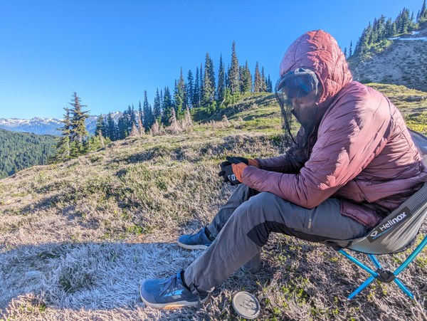
Swimming Bear Lake is an unmarked campsite in the shadow of High Divide-Soleduck Park that served as a perfect jumping-off point for the traverse portion of the trip. We escaped the hot sun by taking a dip in the cool lake and admired the stunning views of Cat and Carrie, our two objectives for tomorrow.
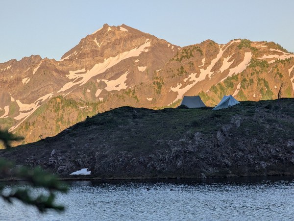
In the evening we hiked a little bit further down the trail to watch the sun set over Olympus. While admiring the view we saw a person approaching—the first other person we had seen since leaving camp that morning. It ends up it was a lady staying at Bruce's Roost, on the other side of the ridge, who had come over to check out Swimming Bear Lake. We exchanged pleasantries. As she walked back to her camp we said our goodnights to the last other person we'd see for the next three days.
Day 3
Swimming Bear Lake, Cat Peak summit, Mt. Carrie summit, Stephen Lake (8.5 miles, 5,119' vert)
For Day 3 we continued along the trail to Cat Peak and enjoyed the trail, knowing that it would eventually peter out. We walked along the ridge, enjoying the sunny weather and wildflowers until we hit the SW ridge of Cat. Here we left the trail and continued up towards the summit. As we went, the trees got denser, the game trails got more disconnected, and the blowdowns increased.
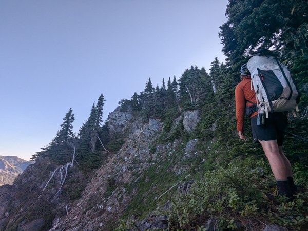
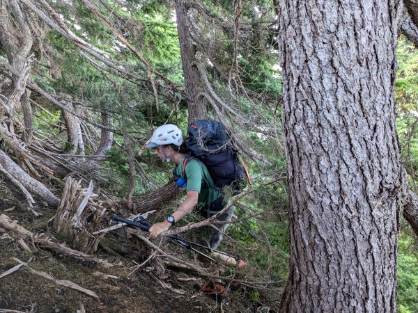
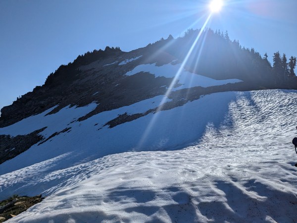
Eventually we emerged above the treeline with a few more scratches on us than we had before and traveled along some snowfields and scree to the rocky summit. First summit of the trip down.
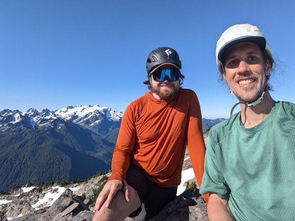
Heading down Cat's SE open ridge back to the BRT bootpath was much easier than the bushwhack we had just done up the SW ridge, and we enjoyed the easy snow walk down to the Catwalk. The Catwalk to access Carrie has some exposure but overall wasn't as difficult as I had feared it would be. We found the route mostly straightforward and carefully made our way through it, past the infamous fetid Boston Charlie's tarn, to the blooming meadows of Mt. Carrie.
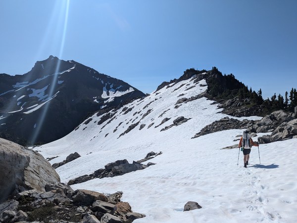
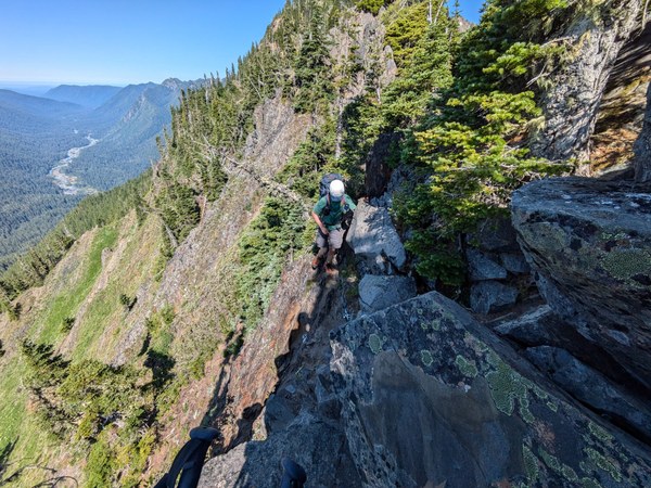
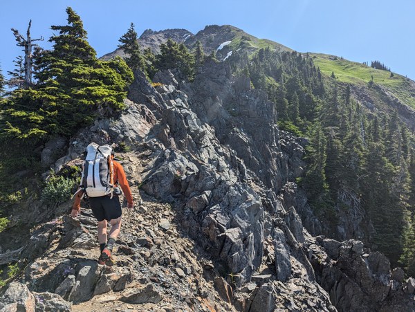
Doing this trip in early July, one of the big cons is that mosquitoes loved our company—especially while stopped and camping—however one of the big pros is just how many wildflowers were in bloom. The slog of making our way up Carrie was made more enjoyable by being immersed in all the colors surrounding us.
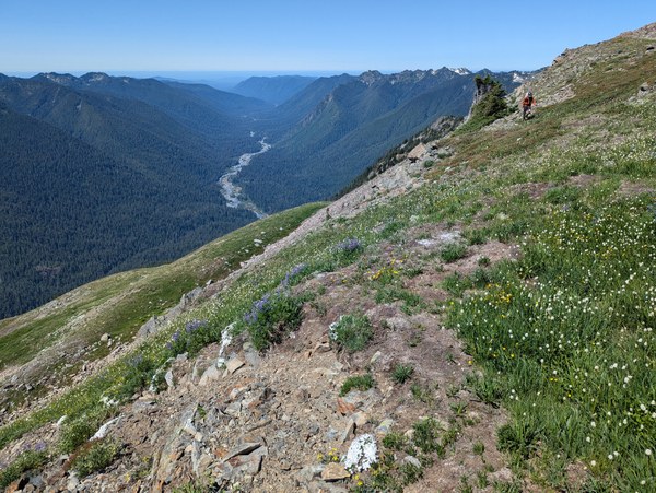
With more trudging we worked our way up to the scree fields on the upper slopes of Carrie and did the upward scree traverse over to the summit. Another pro of it being early July, we were able to bypass at least a bit of the scree on some snow still holding on.
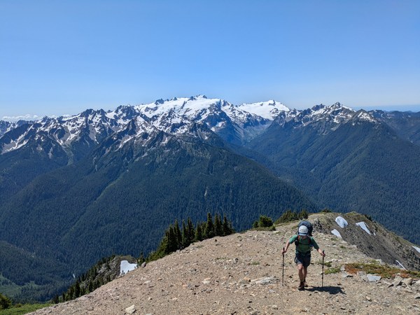
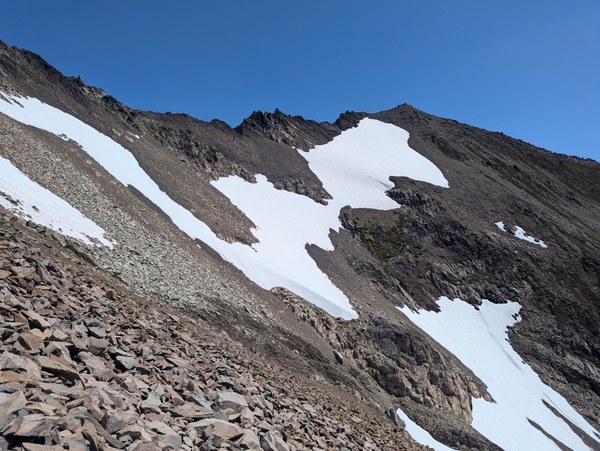
At the summit we admired the glaciers around Carrie.
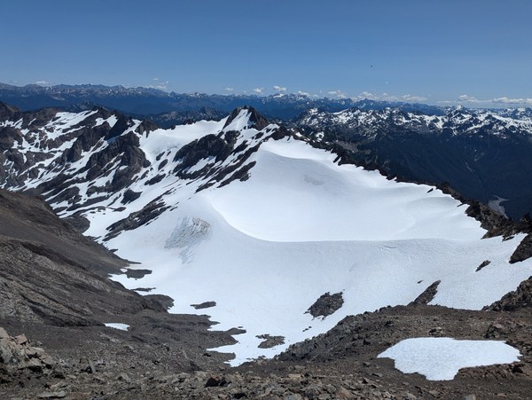
Heading back down from the summit we plunge stepped where we had snow and sidehilled on scree where there was no snow. We picked a gully to the SE we could shortcut back to the BRT and scree skied as best as we could back down to the established bootpack.
As I was happily leading the way down the bootpack, Tim suddenly spoke up and asked what my plans ahead were. I wasn't sure what he was talking about until he pointed ahead and alerted me that I was about to descend into a washed-out gully with the other side being about a 20' sheer vertical wall of loose dirt with sporadic boulders lodged in it, right where the bootpack happily continued on the other side.
After conferring how to get past, we elected to drop about 100' in vert to where the gully sides weren't as steep, crossed the gully there, then reascended the steep slope back to the bootpath.
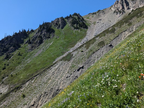
Continuing our perpetual sidehilling, we made it to 11 Bull Basin where we had a decision to make. Should we camp here with these wide open vistas and copious running streams or continue on to Stephen Lake and do about 1,400' more vert today that we then wouldn't have to do tomorrow? While we loved the views at 11 Bull Basin, we still had a few hours of sunlight and thus continued on to Stephen Lake.
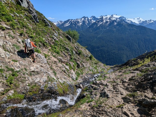
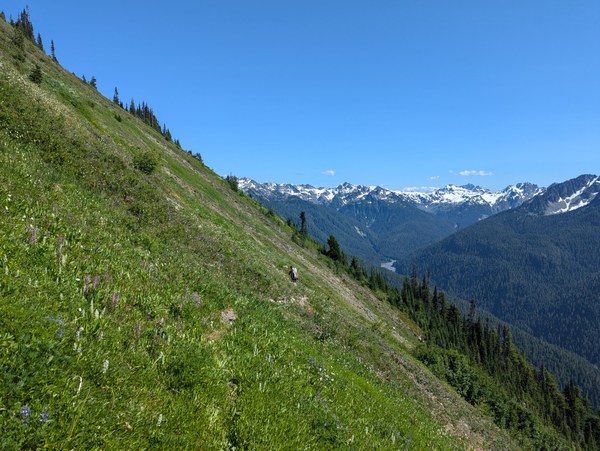
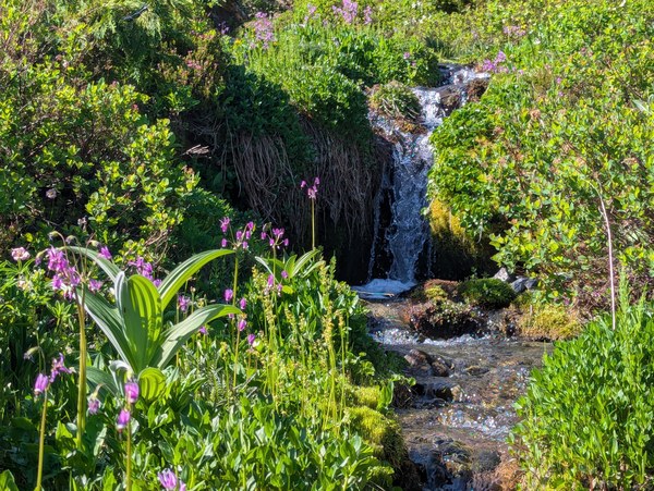
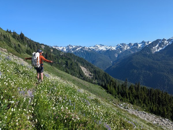
Getting to Stephen Lake you see the saddle you're aiming for for what seems like forever, with it barely getting any closer. We compared it to getting the first view of the Camp Muir huts on Rainier which give you hope until you keep on ascending for another hour without arriving there. But eventually we did get up to the saddle, continued higher up on the ridge, and once we got all the way over the ridge we were stunned at how spectacular the view of Stephen Lake and Stephen Peak is. This was one of the most beautiful places I've been privileged to camp at, and we congratulated ourselves on making the call to push on.
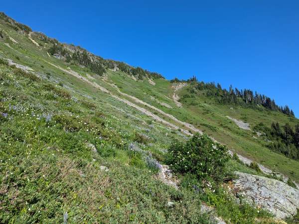
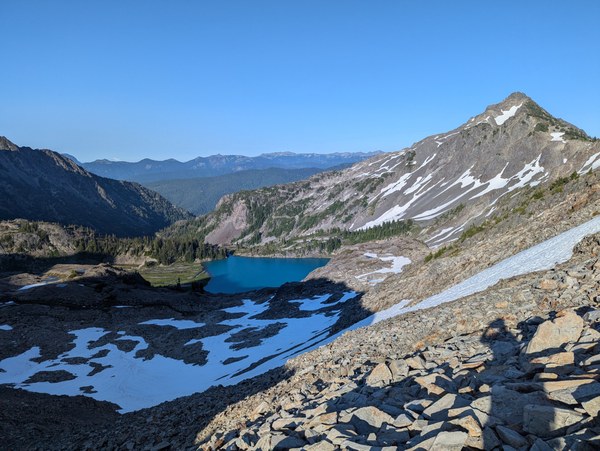
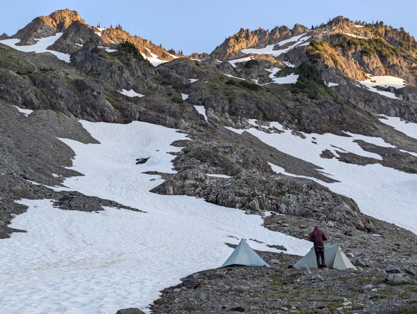
13 hours after leaving Swimming Bear Lake we arrived at Stephen Lake, setting up camp for the night.
Day 4
Stephen Lake, Stephen Peak summit, Mt. Ferry Summit, Dodger Point Camp (8.8 miles, 4,410' vert)
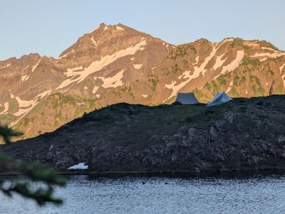
I woke up with the sun and opened up my tent to watch the alpenglow on the ridge across from Stephen Lake. What a place to wake up.
We had breakfast, packed up camp, and headed east to the base of Stephen Peak. We ascended to the snowfields to the west of Stephen's NE ridge. We brought crampons specifically for this snowfield and were happy we finally had a reason to use them. We were able to take snow up for nearly 1000' of vert, snow once again saving us from a screefest.
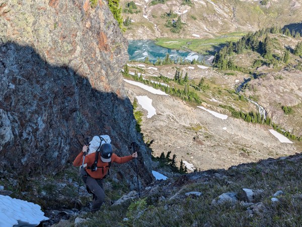
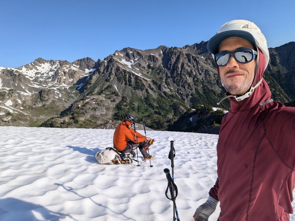
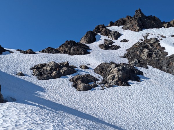
The snow took us to just below the summit block, where we transitioned back to boots and scrambled up the loose and sharp Olympics rock to the summit. Out of the four peaks we summited on this trip we agreed that Stephen was the most scrambly. Stephen was also the only peak with a summit register, however the notebook is waterlogged so we did as everyone else has been doing and signed the summit register PVC pipe instead.
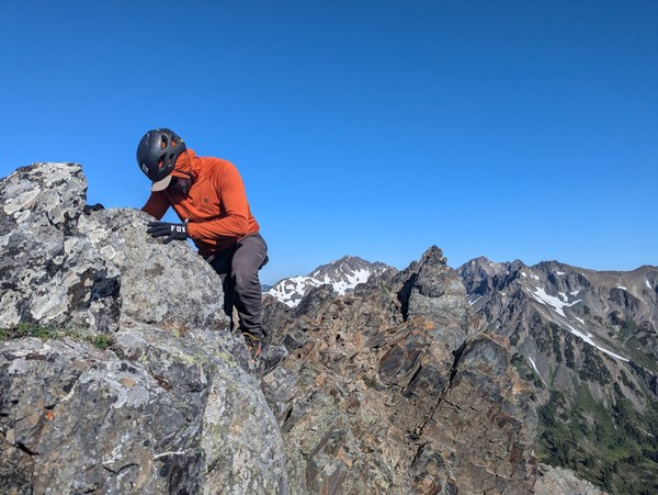
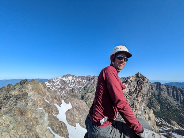
Off the summit and back on snow, we headed east then SE back to the main BRT bootpath and continued traversing south to Mt. Ferry.

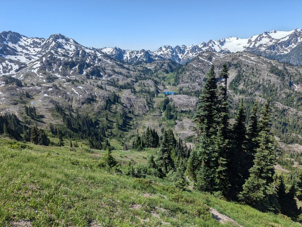
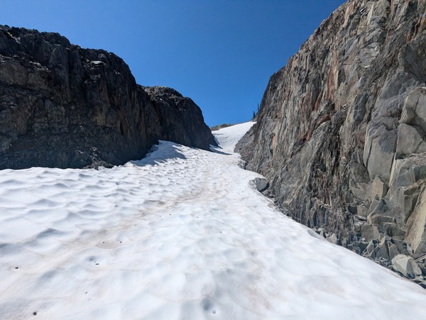
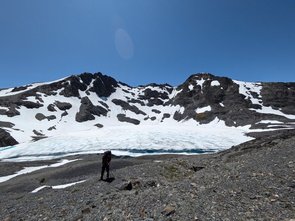
Heading up Ferry was more Olympics dagger scree, and we worked our way up to the summit without much difficulty. The way back down the SE was even easier, practically a stroll on mild terrain back to meeting up with the BRT. Here the Olympics Climbing Guide says there's, "one short, steep place". It's not terribly steep, but it's about 40' of descent on *very* loose dirt and rock where you don't want to fall.
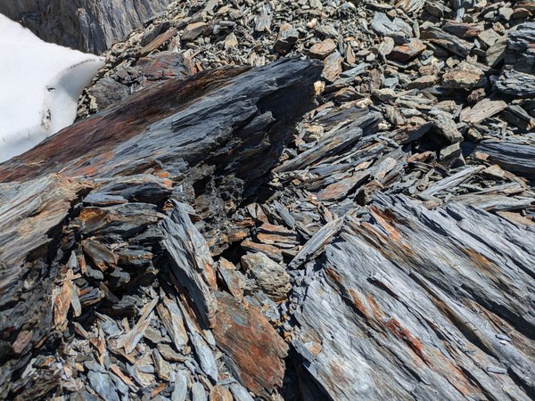
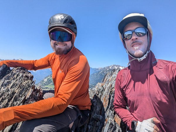
Here is where we said goodbye to the BRT proper and headed east to the Dodger Point exit.
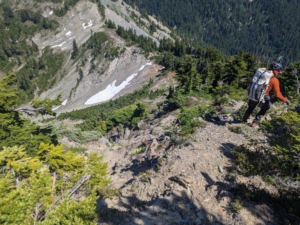
Much of the northern BRT has a well-defined boothpath that comes and goes, and while there had been scrambling and routefinding until now, there hadn't really been much bushwhacking or really difficult navigation. This changes on the way to Dodger Point.
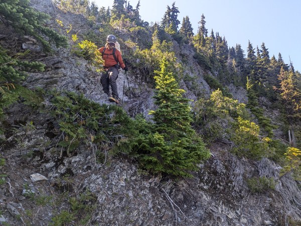
Eventually the bootpath petered out and we found ourselves making our way through thigh-high grasses and dense PNW groves of trees. Our progress slowed dramatically trying to find our way through this terrain with ups and downs and twist arounds trying to find our way. We vaguely tried to link together the waypoints provided in the Climbing Guide, but it wasn't exactly straightforward.
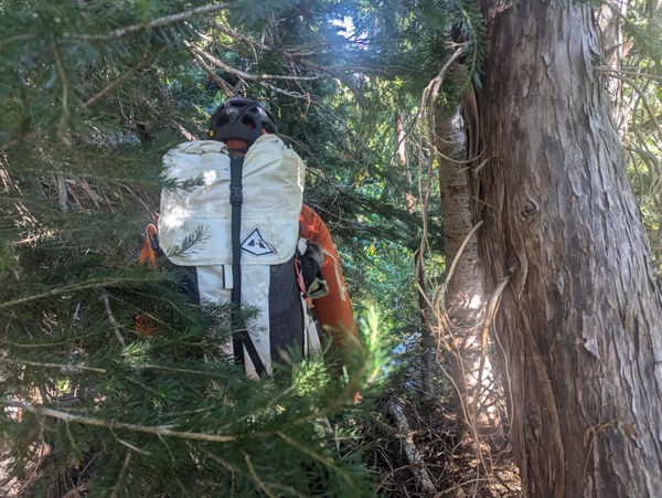
The steep ups and downs and bushwhacking started to take a toll on my energy, and after realizing I was zoning out on consequential terrain I told Tim I needed a break. While taking a rest he confirmed that while he had been having trouble earlier in the day in the heat of the sun, now that we were in the shade he was feeling good and wanting to push on. Because my energy was quickly draining he took on navigation and scouting duties so that only one of us would be exploring the many false starts to see which way would go.
With Tim leading the way he got us to Crisler's Ladder—the series of roots acting as a ladder that allow you to ascend/descend a key gully that makes the Dodger Point route possible.
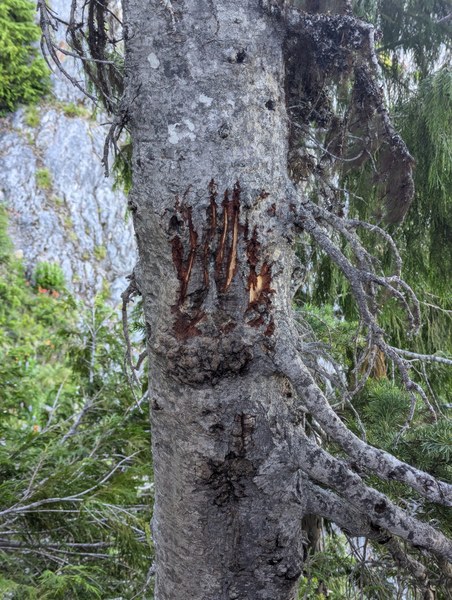
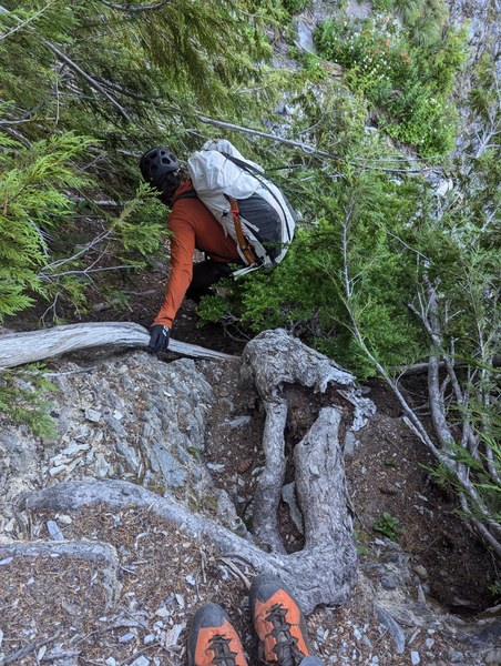
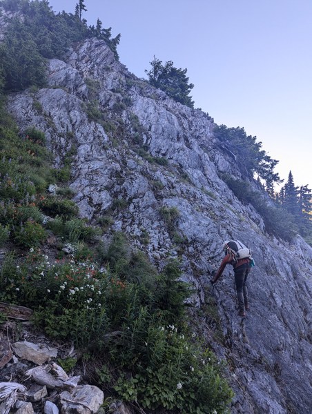
From Crisler's Ladder we were able to make our way to Hanging Rock, which is the oasis in the desert that marks the beginning of the abandoned trail to Dodger Point—meaning much much easier travel! The string for the hanging rock was missing a rock, so I made sure to add a rock back in to ensure its name remains accurate.
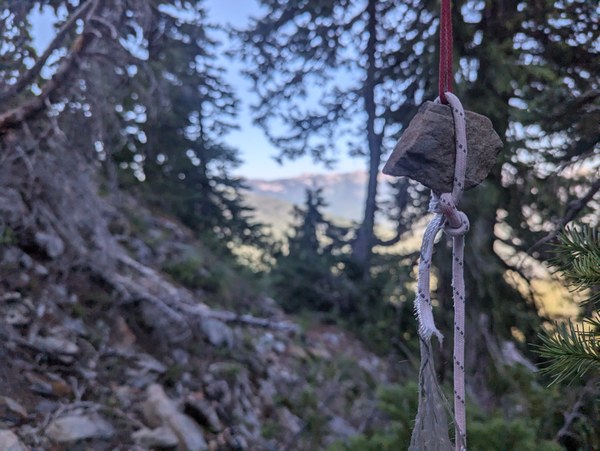
Even though the abandoned trail had some mildly washed out sections it wasn't nearly as bad as sections of the BRT we had just passed through, and we made quick work to the Dodger Point turnoff. I had originally planned on hiking up to Dodger Point to tag another peak, but at this point both of us just wanted to set up camp and eat some dinner. Same as Day 3, Day 4 happened to take 13 hours camp-to-camp.
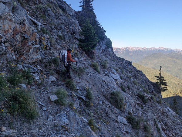
Overall I'd say the Dodger Point exit is more difficult than the northern half of the BRT itself. The routefinding was more nuanced, the brush required more bashing, the pace was slower, and energy expenditure was higher.
Day 5
Dodger Point Camp to Madison Falls Trailhead (19.6 miles, 1,575' vert)
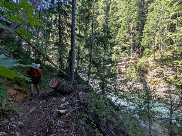
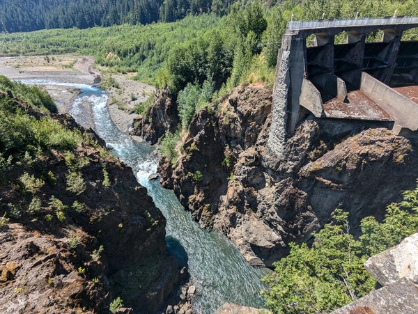
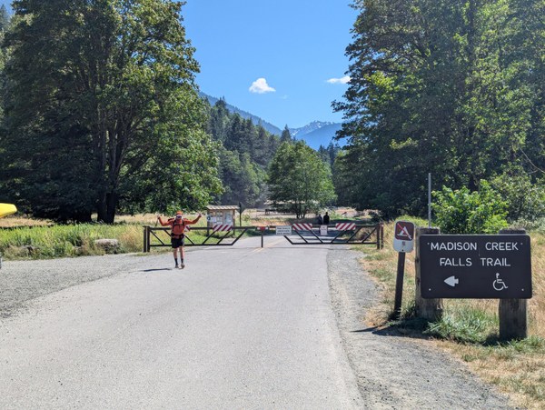
Considering Day 5 was entirely on trail we decided to forgo camping another night and make a beeline back to the trailhead. We both stuck earbuds in, threw on a podcast or audiobook, and booked it.
At Humes Ranch Campground, about halfway through the day, we came across the first other person we had seen since we saw the lady at Swimming Bear Lake on the second day. We went three days without seeing anyone else.
We quickly made our way to the TH, the car, then to Port Angeles to devour some burgers, fries, tacos, and fried pickles. A meal well earned.
 Adam Dodge