Trip Report
Sea Kayak - Exploration of the western part of the Skagit Estuary Wildlife area, with stops at Goat and Craft islands.
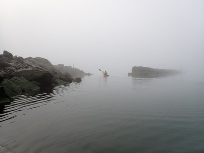
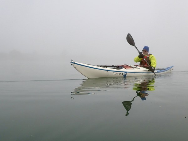
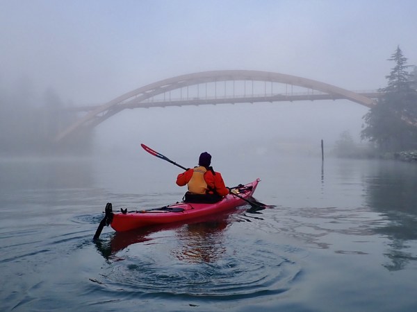
We had a magical experience padding in the fog, following a strategy of hugging the coastline most of the way. What changes were made to way-finding in limited visibility had a minimal impact on the original plan and we arrived back at La Conner just four minutes later than originally planned.
- Tue, Dec 3, 2024
- Sea Kayak - Goat Island
- Goat Island
- Sea Kayaking
- Successful
-

- Road suitable for all vehicles
-
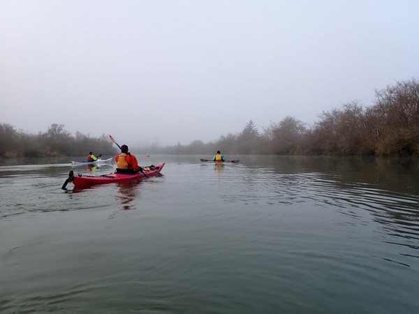
All the routes were relatively easy to navigate even with the persistent fog. Visibility ranged from about a quarter of a nautical mile near the start of the trip and varied between a half to one nMi from 11am on. Weather was fine otherwise, with calm winds and glass-flat seas. Tidal currents were in our favor going out, and only slightly against us on the short segment from the fishway back to La Conner. River current was around a knot and easily managed where we had to go perpendicular to the flow and pleasant to follow when we got to go with the flow.
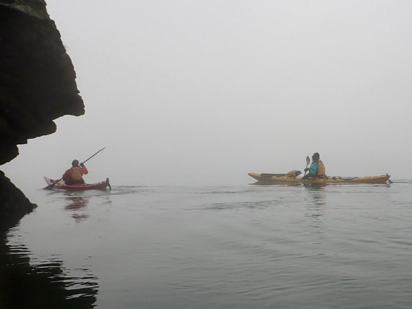 Undeterred by fog, we followed a strategy of shoreline hugging as we made our way from La Conner to the McGlinn Island end of the dike separating the Swinomish Channel from the North Fork of the Skagit River.
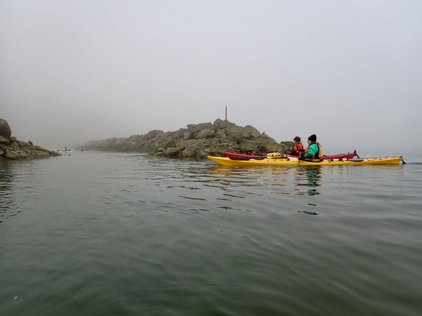
We were thrilled to find the fishway in the dike was completely clear! When I was here in early November there was a massive tree stump blocking the opening.
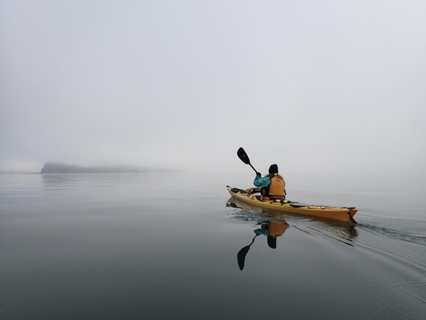
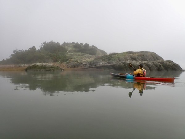
After rounding Goat Island over glass-like water, we took aim at the center of Ika Island, took a magnetic bearing in case the fog got worse, and headed across. In the distance to the south of our course we could see a large flock of Canada Geese floating in the water. They seemed ghostly and unusually large to me, as if a mirage.
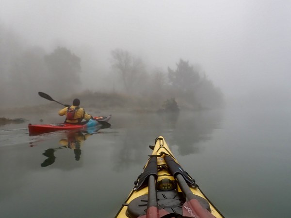
We took a bearing to the middle of Ika Island in case fog increased while we crossed to it. Fortunately, we could see it during that 1 nMi portion of the crossing. Next we followed a chart bearing to Craft Island. Even though we could not see Craft we were able to thread our way through high spots and along the marshland east of Ika until Craft appeared out of the gloom. We crossed over the deeper water of the river channel and thanks to the 8+ ft tide were able to land on the soft grass on the western shore of Craft. We had lunch and explored during our hour there.
Getting back in the water was a bit of a trick. The land drops off steeply at the river side edge of the island so care was needed not to fall in.
The next challenge was to find the way north past the mouth of the North Fork of the Skagit. The river was flowing smoothly at about a knot and it we could make our way without much difficulty.
We came out just south of the dike and a short distance from the fishway. Bradley spotted the orange pylon and we made a beeline for it.
Our fastest speed, 4.3 knots, was from riding the current down the North Fork of the Skagit on our way back to the dike. Didn't do too bad rounding Goat, either. We arrived back at the start 4 minutes later than I had planned using DeepZoom.
 Doug Palm