Trip Report
Sea Kayak - San Juan Island Circumnavigation
In later October, we used blustery winds on a four-day sea kayak trip to paddle around this island.
- Mon, Oct 26, 2020 — Thu, Oct 29, 2020
- Sea Kayak - San Juan Island Circumnavigation
- San Juan Islands from Anacortes
- Sea Kayaking
- Successful
-

- Road suitable for all vehicles
-
Very steep gang ramp from pier to dock at Friday Harbor. Steep enough that one person may not be able to hold back a fully-loaded sea kayak.
14 nm stretch of SW coastline means needing currents and winds in your favor.
On NW coast, Spieden Channel and San Juan Channel currents are in opposing direction at either flood or ebb, making a traverse possibly problematic. Jones Island offers a place to mitigate.
In late October, three of us took 4 days to do a late season paddle around San Juan Island to “see whales” and to paddle a coastline that none of us had seen. Like any San Juan trip, there are complex logistics. Tidal currents are usually strong and we must plan to have them in our favor. While tides are easy to predict, late season adds the complexity of winds, which are often significant, not known in advance, and may be contrary to the planned direction. Charlie panned a counter-clockwise route taking advantage of currents but the weather forecast called for 10-15 knot headwind on our long days. Charlie was able to re-cast the trip clockwise so wind and current favored us when the weather forecast changed.
 san juan county park - water trails site
The San Juan's, busy in summer, were empty. We were the only kayakers out. We were the only parties at all campsites we touched at or stayed at. This lent a feeling of freedom and some sense of wildness.
The southwest shore of San Juan island is blasted by storms coming up the Strait of Juan de Fuca and has a feeling of isolation, even desolation approaching that of the open ocean coast.
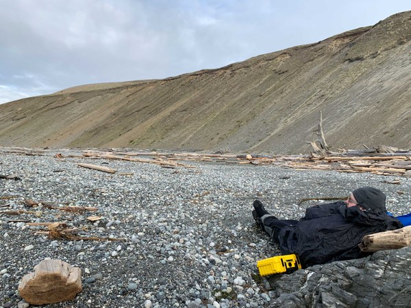 Resting on the Rocky Beach
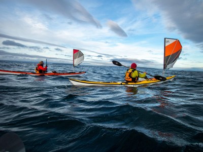
We used kayak sails on this trip, which made the wind assisted run up the coast easy and even sporty at times.
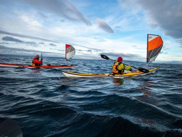
Kayak sailing along the sw coast
Timing and Direction: This trip took place at the end of October, with a narrower daylight window in which to paddle. Longer days in the summer allows greater flexibility. Nonetheless, current and wind must be considered when planning launch times.
There are two crux sections. The first crux is the 14nm between Griffin Bay and San Juan Island County Park campsites, including 11nm of exposed coastline. You must plan for currents, especially in Cattle Pass. The coast is exposed and often rocky. There are some partially protected beaches but they are of rock and may have moderate breaking waves. So there are landing sites but they may require some skill.
The second crux section is between Friday Harbor and Posey Island. Here, a complication occurs between Spieden Channel and San Juan Channel. Currents in these two channels flow in the same(ish) direction so rounding the corner means one current or the other will be against you. You can solve this by transiting at slack or adding a stop at Reuben Tarte Park. Overnight on Jones Island can also solve the “current problem”.
Campsites: We camped at Griffin Bay, San Juan County Park, and Jones Island. See the Washington Water Trails Website for information on camping.
Day 1: Friday Harbor to Griffin Bay WWTA site, 6nm. We took the 8:55am Ferry from Anacortes to Friday Harbor. By previous arrangement with the Harbormaster they stored our kayak wheels for us. They seemed amenable to allowing us to lock them to a bike rack SW of their office in summer.
Rolling our boats to the dock for launch was problematic. With the tide out, dock ramps were at a steep angle and boats were difficult to control. Unable to hold back his heavy boat’s descent, Charlie took a tumble (incident report filed).
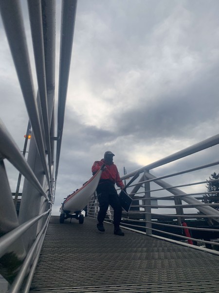 charlie descenting steep ramp from pier to dock, just before crumpling at the bottom
Paddling to Turn Island lunch spot against flood currents, we took advantage of a back eddy by paddling to the inside of Brown Island. The only current we had to fight was momentarily before reaching Turn Island. Lunch allowed for the flood to subside from maximum, and we quickly escaped the flood direction when leaving Turn Island by getting into a huge back eddy in Griffin Bay. Our speeds without sails were around four kts, and we even had to ferry to the right to avoid being swept too far south. Here is a video of us paddling in the Bay.
Griffin Bay Campsite was an easy scramble up the bank to a level campsite. We had no wind on Day 1.
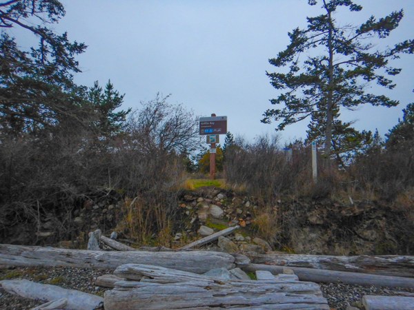 Griffin bay landing
Day 2: Griffin Bay WWTA site to San Juan County Park WWTA site, 14nm. We achieved a 7:30am launch in the dawn light to take advantage of the ebb current to Cattle Pass. This allowed time for a stop at the San Juan Island National Historical Park, just beyond Cattle Point, at N48.45369 W122.96195. A well-chiseled trail in the bluff with a rope-handrail took us to the top of the bluff. Restrooms were available and a grand view of Cattle Pass was before us. We continued on just before SBF and made our way up the SW coastline for a short distance to a gravel beach offering wind protection by beach boulders while we awaited the flood… and had our delayed breakfast. After launching, we raised our sails and screamed up the coast with the benefit of a 1.4 kt max flood and wind at our backs. Our speeds reached 6 kts. We noted useful stop points along the way at
N48.45511 W123.00042 - restrooms,
48°27'30.7"N 123°01'26.5"W - Beach in Grandmas Cove
48°28'08.0"N 123°03'04.9"W - Protected beach
N48.51221 W123.14491 - Beach in Deadman cove, southern end of Lime Kiln Park.
At San Juan County Park we initially landed at the boat ramp, but after investigation decided to paddle clockwise around the corner to the stair access to the water trails site.
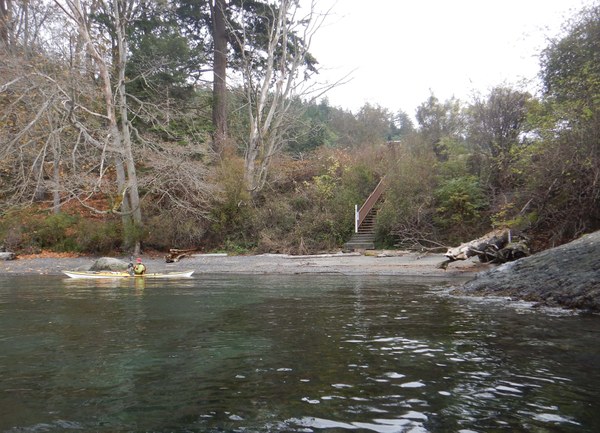 Landing site for Water Trails camping. Note stairs to bluff.
The view and sunset from the grass-covered bluff was fantastic.
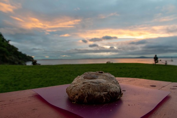 fresh baked camp bread was a critical component in keeping the team fueled. charlie baked
sourdough for two of the three nights
Day 3: San Juan County Park to Jones Island, 12.5nm. Despite the 8:35am 1.3kt max ebb, we launched and took advantage of 12kt winds filling our sails to push us north at 4kts. A very large back eddy south of Henry island gave us some current boost! We landed at Spyglass Beach on Henry Island, at N48.59103 W123.19466. We avoided private land by landing on a southern-most nook, shown here.
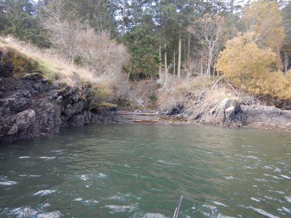 landing site for trail, which is barely visible in the center
We followed a 1 mile trail up the bluff on BLM land which traced the SW lobe of the H-shaped island.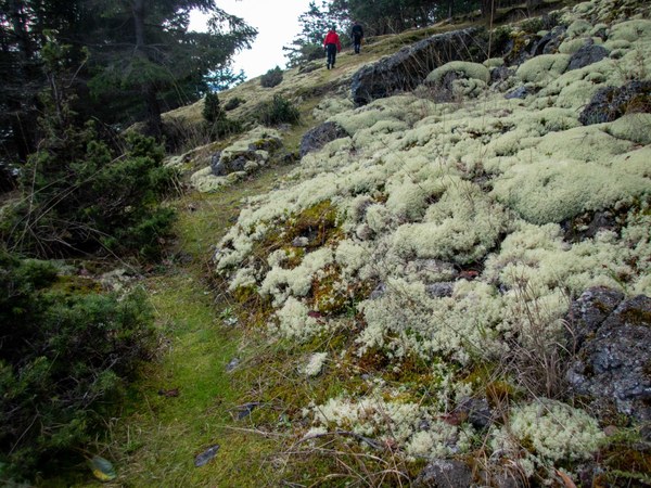
Views of Haro Strait and beyond were again staggering. 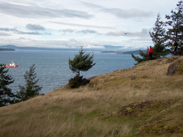
Launching again near the end of the ebb, we had two choices - a protected segment up Mosquito Pass, or a more exposed run up the western shore of Henry Island. We chose the latter as we had seen favorable (read: strong) wind conditions from the bluff. On the SW corner of Henry, we encountered four foot high confused seas- it was awesome, but kept us on the edge. Once through this short stretch we again raised our sails for a 5kt run up the coast.
After rounding the NW corner current was near slack and we paddled to Posey Island for lunch.
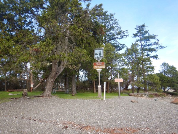 Posey island campsite is one of only two WWTA sites that is by reservation only in the summer
We awaited the flood in Spieden Channel while eating exploring. While it appeared Spieden could be traversed against current by using back eddies on the southern shore, we happily used the main current and total protection from the southwest wind. Once reaching Limestone Point we encountered a 12kt wind blowing up the San Juan Channel. We hugged the southern coastline for protection to take a break at Reuben Tarte County Park (no restrooms) at 48.61315308116773, -123.09940042272555. This was a welcome break and slightly improved our trajectory and ferry angle to Jones Island.
The final stretch of the 12.5nm day was tough, fighting a northerly flood current up San Juan Channel and quartering headwinds. We achieve a modest push using our sails. While giving us some propulsion, they also unhelpfully moved us north. 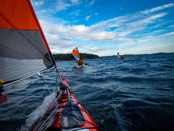
We camped at the WWTA site on Jones Island and enjoyed a second stunning sunset view.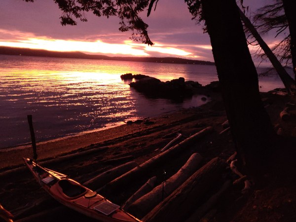
Day 4: Jones Island to Friday Harbor, 5.5nm. By launching at 7:45am we took advantage of the max ebb of 1kt in Spring channel and San Juan Channel. We needed it because of 15kt headwinds. There was no protection anywhere from the wind between the tip of Jones and Point Caution so we stayed in the middle of the channels to take advantage of maximum current. We still managed a respectable 3kt pace despite this wind.
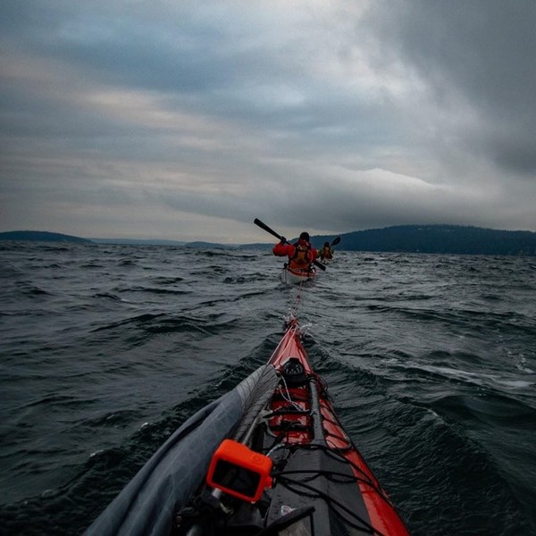 Towing into the wind- a double inline tow helps fight the wind
We arrived at Friday Harbor at about 9:30am at the tail end of ebb. We retrieved our wheels, hauled our boats up the ramp in teams of two, ordered well-deserved (Covid era) takeout food, and boarded the 12:10pm ferry back to Anacortes.
 Charlie Michel