Trip Report
Silver Tip Peak/Southeast Route
Rather easy climb in a lovely area.
- Sun, Aug 12, 2018
- Silver Tip Peak/Southeast Route
- Climbing
- Successful
-

- Road suitable for all vehicles
-
Paved to Barlow Pass where cars were parked. Biked to Monte Cristo. A large log over the S
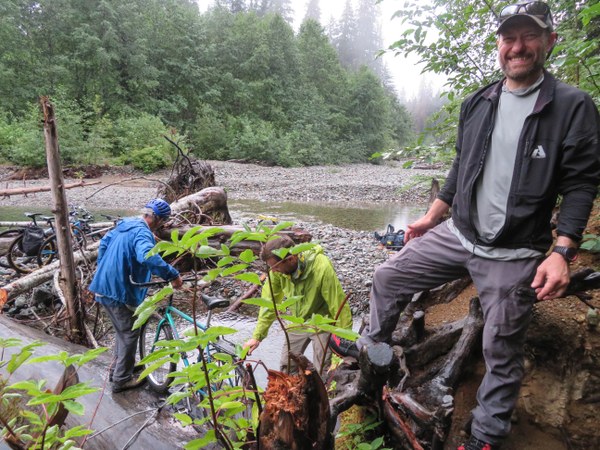 Fork of the Sauk to cross, but unfortunately many logs cris-crossing the large log which made it difficult. Had to lift the bikes across a couple cris-crossing logs and then hop rocks to the other side. Had to get on and off our bikes several times and push during our ride to Monte Cristo, but it certainly is worth it. Returned the next day after climbing Columbia Peak via new Wagon Trail built in 2015 which is 5 mi instead of 4 with more ups and downs.
We did Silvertip Peak in conjunction with Columbia Peak in 2 days, but I am posting separate reports.
We left the TH around 7:15am. Reached Monte Cristo about an hour later and parked our bikes in town. Spent time reading the signs and talking to a couple of guys going to do Cadet before leaving for Poodle Dog Pass/Silver Lake. Found a nice camping area for 3 tents near the Silver Lake's outlet stream around 10:40am and set up camp, ate our lunch and filtered water. It was muggy and damp due to the rains the day before. Clouds were coming and going all day.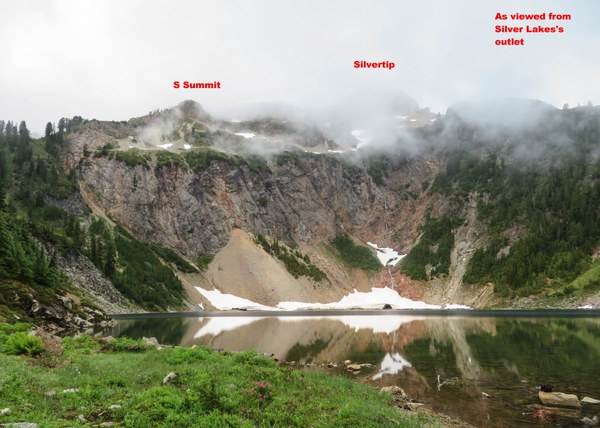
Left camp around 11:40am. Crossed the outlet stream and headed for the ridge, past a sign that said toilet. We did not see the bootpath that could have taken us to the ridge more easily, but ended up bushwacking maybe 50' before coming out of the damp bushes/trees with wet pants. Photo of the correct way taken on our way back.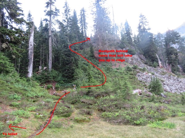
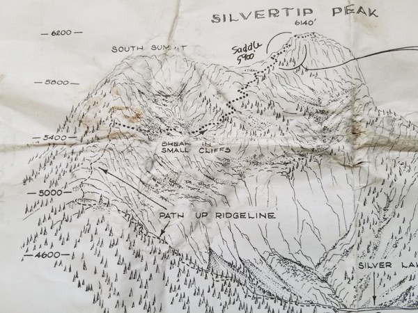
Once on the ridge it was easy to follow the bootpath to about 5500'. 
Once at about 5500', we left the bootpath and started traversing heather and scree (not very enjoyable,) aiming for the saddle and clump of trees below the summit. We traversed under the S summit, through a notch in a cliff band.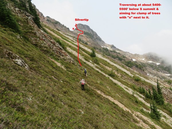
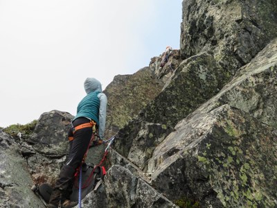
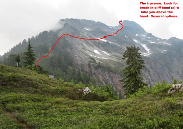 From there we did a slight rising traverse, continuing to aim for the saddle and clump of trees below the summit. Photo of Tom just above the saddle. I stayed further climber's right and we met at the clump of trees.
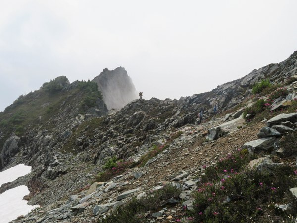
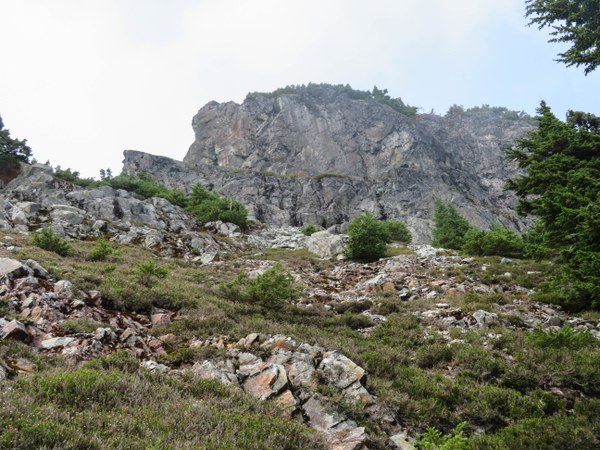
We left our crampons, poles, ice axes here and started up for the shelf that begins the Class 4 climb. Jason led up with 2 -30m glacier ropes attached and set one #0.5 link cam before arriving at the large, flat top of Silvertip Peak at 2:50pm. Photo of Jason making the last move up.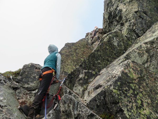
The tree anchor with webbing was set maybe 12' back. A fixed line was set for each to prussik up. I being last, was belayed up. Lots of loose rock as one mantles up the last move so extra caution needed there.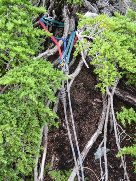
Unfortunately we were mainly in a sea of clouds so only saw views below, but glad we had some views and were no longer bothered by the mosquitoes. Photo of the large summit.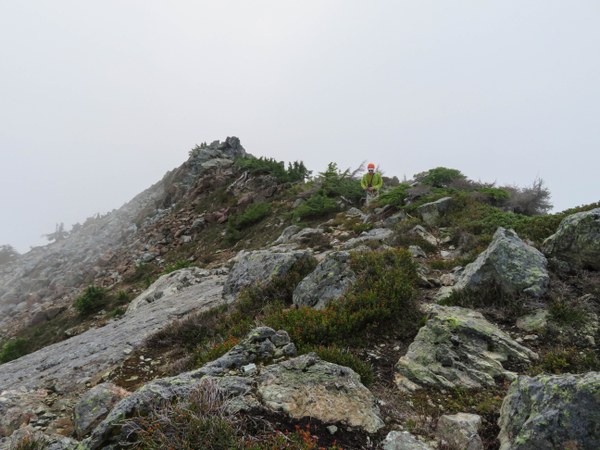
It was about 3:50pm by the time we set up the rappel and started down. Because the anchor was so far from the edge, someone had rigged a rope to extend the anchor. After checking it out carefully, we all agreed it was safe to use. Because it was extended so far, we only needed one 30m rope to rappel. 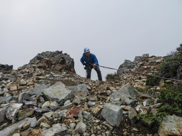
From there it was some class 3 scrambling to reach where we left our things. We dropped lower on the return in order to avoid the worst of the traversing and made it back to camp at around 6:50pm. 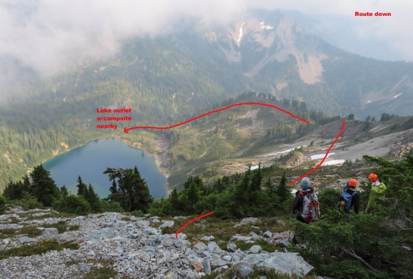
We didn't need 2-30m ropes, but did not know the anchor was going to be so far extended. If it hadn't been, then a 60m or 2-30m ropes would have been necessary.
A couple good drawings which helped with route finding.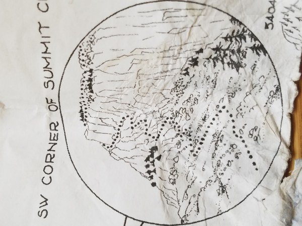
Wonderful day with such good people!
 Susan Shih