Trip Report
Skagit River: Rexville to La Conner
This was our Plan B, supposed to be the safer option, which turned into a perilous journey at times. We were all very relieved to reach the take out.
- Sat, Nov 16, 2024
- Skagit River: Rockport to La Conner
- Packrafting
- Successful
-

- Road suitable for all vehicles
-
The gauge at Mt. Vernon was coming down sharply from 25,000 CFS the night before to around 20,000 CFS by the time of our launch. Low tide was 10:00am and high tide 4:00pm. We expected the rising tide to aid in getting up the channel at the end of the day. With rain in the forecast in the coming hours, we did not expect flow to come down much more. The elevated flow pushed us downriver all the way to the Sound and overcame the force of the flowing tide.
The forecast was for high winds late in the afternoon. They came sooner. Once we got past Fish Town we hit sustained high winds, getting more formidable as we get closer to the Sound. Making the crossing from Ika Island to the Hole in the Wall enabled us to surf forward with wind at our backs. Although this sounds like fun, these inflatable boats are better suited for rivers and are very unstable in choppy open water.
The first half of our trip was tranquil and pleasant. Little did we know what was in store for us. At the launch parking area we were treated with a view of thousands of snow geese gathering in the lowlands of the Skagit Valley. It was a rare sight to see and hear. So close to a major metropolitan area and yet a stunning large scale migratory bird phenomena.
This was our first time using this put-in, which proved very amenable. The flow was elevated. It had spiked to close to 40,000 CFS at the Mt. Vernon gauge, upriver of the split into North Fork and South Fork, the day before and was coming down precipitously to about 25,000 CFS. At the North Fork we were probably riding about 12,000 CFS. This was double what the previous group experienced 3 weeks earlier. The elevated flow was apparent by all of the inundated Willows and other foliage underwater on the banks. At this high water level, there was a protected eddy for 5-6 boats making keeping the group together at the launch easy. The first couple miles was a nice float. 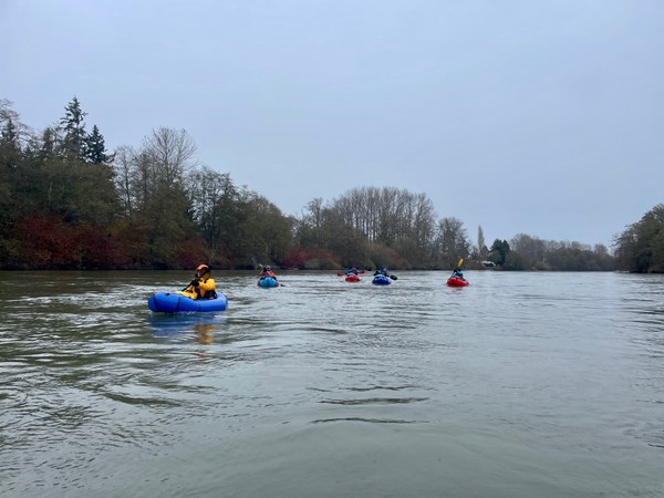
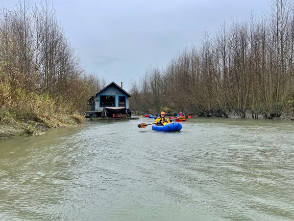
After a couple miles we decided to explore a hidden slough on river right. This was an intimate, narrow passage through delta forest when we came upon a most interesting sight. There was a tiny houseboat with smoke coming out of a chimney, clearly a sign of inhabitants. As we floated past, we looked into the window and saw a man waving to us. What a different lifestyle, so isolated and far from the madding crowd. No lawn to mow here.
We continued down the slough and back to the main river channel. 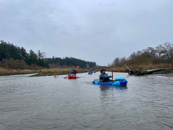
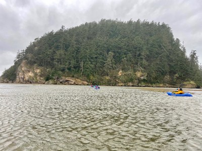
Because this side exploration proved so fruitful, next we decided to take a side slough on the left around the next long island, just past Fish Island town, a hamlet of dilapidated houses, most abandoned but several appearing to remain inhabited. Now paddling south and towards the open water of the Sound we were buffeted by strong and steady headwinds. The channel was straight and narrow, providing us with no side eddies to aid in forward travel. Once at the open water of the Sound we headed west and were intending to circumnavigate Ika Island.
Mother Nature quickly dictated otherwise. The waves and high winds force us to portage over the grasslands, woven with innumerable tiny sloughs we had to hop over. Our boats getting blasted by the winds were challenging to hold onto. Losing a boat to the wind here could involve an all-day recovery mission, or worse, never finding the boat after it sails far away like a kite. 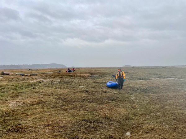
Once on the leeward side of Ika Island it was a sigh of relief. However, our next challenge was the highest risk maneuver of the day, the crossing from Ika Island to the Hole-in-the-Wall, a small opening in the mile-long rock jetty that protects the bay on the other side. In normal conditions this is simple. Today we had a heavy side and back wind, which produced 1-2 foot waves. In theory, tail-winds are a boon as they propel you forward. In a packraft, however, the winds were so strong that we could not paddle forward and instead had to use the blade nearly constantly as a rudder simply to keep the boat heading straight. If not straight, it would mean getting blown into the rocky jetty with a deep water landing. This is no small feat to exit the boat and we had 3 recent course graduates on their first Mountaineers trip. As trip leader, I was praying no one capsized here. Luckily we all made the crossing and into the calm bay on the other side of the jetty. 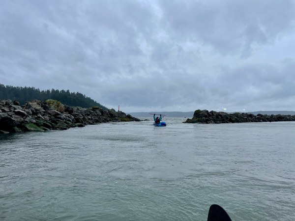
The calm waters of the protected bay gave us much solace. There was a dredging operation with heavy machinery we gave a wide berth to. 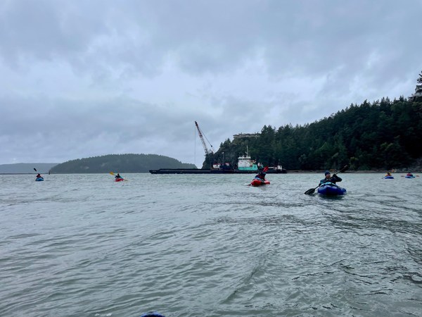
The last mile of this route requires paddling up Swinomish Slough, which connects Skagit Bay to Padilla Bay, making it very hard to predict tidal influences. As the tide is flowing, does it push water north from Skagit Bay aiding your direction of travel, or south from Padilla Bay and against your path of travel? We discussed the fact that if anyone needed, there is a road alongside the channel so anyone could portage the final 1/2 mile if desired. We had wind at our backs. We had 2 more hours of a rising tide, which we believed would be favorable to us. Since we were somewhat exhausted, even with these favorable conditions, it was quite an effort to get around the marina and to our take-out. 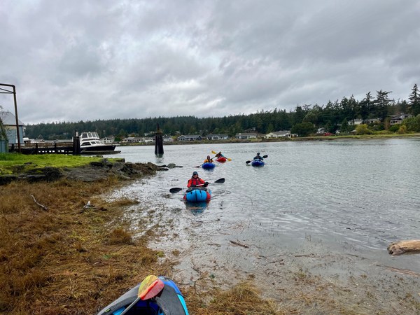
To celebrate, we went to the historic waterfront town of La Conner's local brewery for beers, non-alcolholic drinks and great burgers.
 Logan DeGrand