Trip Report
Slab Camp Creek, Gray Wolf River & Ned Hill
Mid-November day hike down the Slab Camp Trail and out along the Gray Wolf River to Three Forks Camp.
- Fri, Nov 15, 2024
- Slab Camp Creek, Gray Wolf River & Ned Hill
- Day Hiking
- Successful
-

- Road rough but passable
-
The dirt road to the Slab Camp trailhead is a bit rough. Any car with normal ground clearance can make it if one is careful.
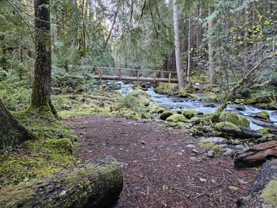
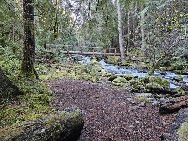
The trail is in good condition. There are a couple of blow-downs near the National Park Boundary. They were not too difficult to negotiate. The wood bridges and puncheons were icy and quite slippery. We chose to turn-around at the bridge over Gray Wolf Creek near the junction with Cameron Creek - it was too icy to cross safely on tired legs.
We were looking for a workout so we chose this long day hike with lots of up and down.
We left the trailhead around 9:30 AM. There were a lot of cars at the trailhead, but we only saw one other person on our route. The others were probably hunters who took the Deer Ridge trail.
The trail gradually drops about 1300' down to the nice big bridge over the Gray Wolf River. It then intersects the river trail which we took to the WSW. The trail climbs and drops several times until it descends to the Gray Wolf near its intersection with Cameron Creek. There are a few nice campsites near the log bridge. We had lunch here before heading back toward the car.

On the way out we had a brief glimpse of a medium size black bear on the trail. Once the bear sensed us, it ran up through the woods to avoid us.
We got back to the trailhead just before dark.
Total distance per Garmin watch was 16 miles with about 3500' of gain. We were on the trail for 7 hours including our brief stop for lunch.
 Jim Griffing