
Trip Report
Sloan Peak/Corkscrew Route - Bedal Creek Approach
Car to Car summit via the Bedal Creek Approach (I wont call it Bedal Creek Trail). Heavily crevassed glacier, over grown trail and everything from twigs to trees will want to get really personal and "touchy touchy" with you. But the summit and the views are totally worth doing it all over again
- Sun, Aug 18, 2019
- Sloan Peak/Corkscrew Route
- Climbing
- Successful
-

- Road recommended for high clearance only
-
The trail head is not visible on Google maps. Type in Bedal Creek camp ground and follow it via Google maps. From there drive slowly on the rough road for about a mile, there is a sign post for Forest Road 4096 (which is covered partially in trees), basically its the first possible trail/road to the left.
The road gets rough from here, recommend only AWD with high clearance. Also limited parking spots. So consider carpooling to not more than 2 cars.
The trail head is at the end of the road. You might be tempted to go straight to the trail which goes at the end of the road. It is not the trail. The actual bedal creek trail is to the left and about 30-50 ft before the end of the road.
The trail has some over grown sections - with some nettle's to bush whack. Consider wearing pants and full sleeves. then there is legendary into the trees section, which has a "well trodden" to "faint" to "where is the trail" sections which will lead you to the boulder field.
We started from seattle at 4AM and stopped at Marblemount gas station for some hot sausage muffin and started hiking at 6.30 AM
Finding the mystery trail head
One might wonder, where is this trail head. If google can't find it , it must not exist. (but google actually takes you to some trail head which is not the right trail head. So read carefully my friend)
For the trail head. Once you cross Bedal creek campground. Look for forest road 4096. It's hard to find. It should be about a mile from there. Turn left and drive about a mile and half. Google maps doesn't show this. From there the trail head is at the end of the road. Trail is not the one in the direction of the road. Instead is a little before the end of the road on the left side.
Time to cut into the trees
Everyone keeps talking about make sure you find the right spot to turn into the trees, or you'll be consumed by this trail. So read below for step by step instructions (I mean not including the steps to keep walking on the trail and talk to your fellow climbers and also enjoy the TRAIL TRAIL as long as you can)
You stop moving on trail and cut to the trees after about a mile and half. Flagging is plenty. For marking. You can also keep watching for this in the order. 1. You'll cross a bench like this.
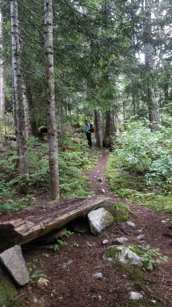
2. Then you'll find a big rock the left next to the trail
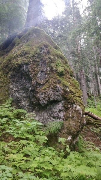
3. Then you'll find ample flagging to take the tree bushwhacking route
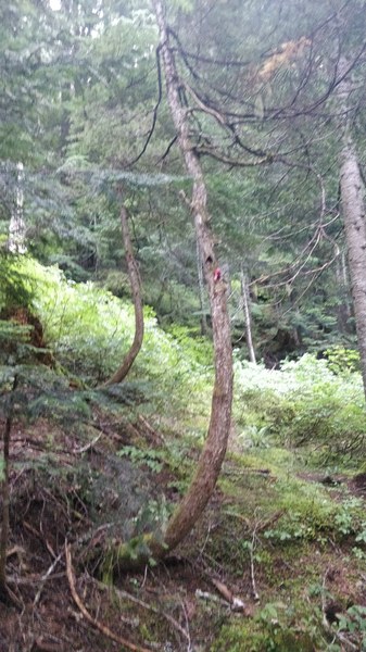
Where did the trail go part of the climb
Place to practice playing Hide and seek for the trail or practice Leap frogging technique of navigation with your fellow climbers to get to the boulders
Once into this section, there will be plenty of pink flagging by SAR to follow "the Trail" or "a climbers trail". Me and Bing made sure we stayed in sight even when we tried to lose the trail at some parts.
Once in you'll gain about 2000 ft in the trees to the boulder field. We did pop in and out of the faint trail (even with a lot of flagging). But following a general upward and climbers right
Did i make it out of the trees in the right spot?
Yes if you see Cairs and a boulder field
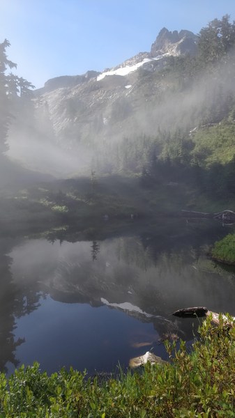
Once in the boulders you'll see cairns leading you a Tarn which is also a known camping spot for this approach. Watch out for bugs here. Also water is not drinkable as you'll see frogs and mosquito hatching in plenty
Boulders and tarns and the basin
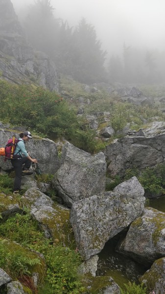
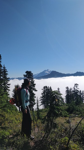
once you get here traverse right up and follow the cairn system to the tarn. That is where the fog started clearing up and we were above the clouds
Where to get on to the Glacier?
From here GPX from multiple sources would do the low traverse through the rock slabs to 6200 feet and on to the glacier. Me and Bing did the high approach by ascending to the right side of the big rocks on to a ridge and to the 6600ft spot closer to the rocks
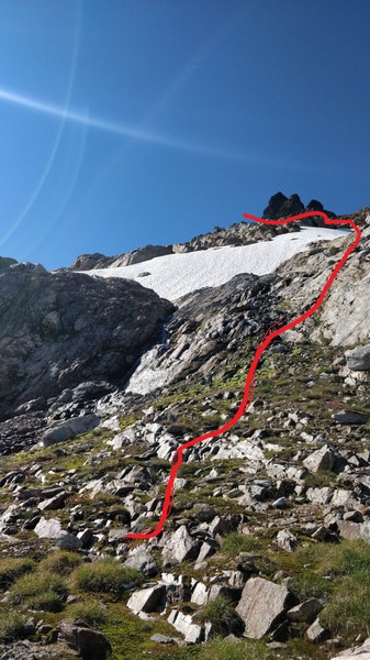
From here, we gained elevation to get to 6,600ft high traverse point. Instead of the usual low traverse route which everyone uses, as I did the route in trail runners and didn't trust the slabs. Also wanted to use the rock and meadow combination more than traversing through crevasses
The low traverse from the tarn will take you to the knob which is also a good camping spot where both cougar and bedal creek trail heads meet
Once at this spot either at 6400 or 6750ft you'll find snow and glacier where you can rope up. There is also options to FILTER WATER HERE
Ok now Glacier are you ready for Battle?
Red line(low traverse) is what we took. The blue line (high traverse) is what another group took. High traverse did end up in some climbing in and out of creavsses based on reports from them
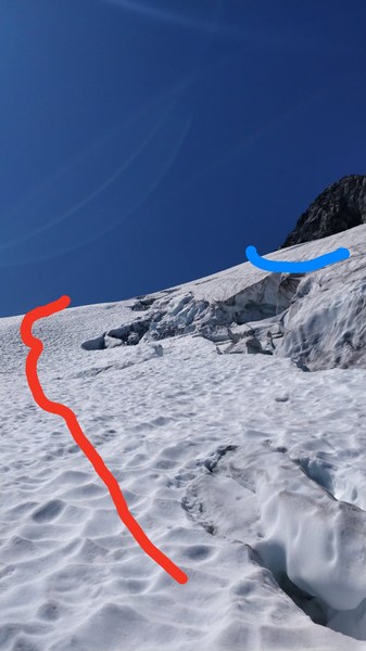
Following the low traverse you'll end up to the wide open crevassed sections of snow bridges which you'll have to cross to get to the base of rock. It should hold for another week or two. But the approach to it and descend might require some steep snow traversing.
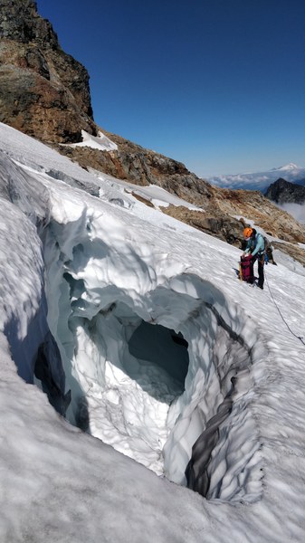
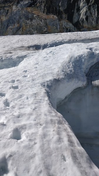
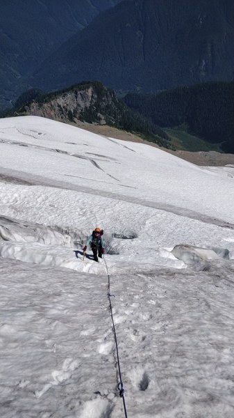
"Wohoo!! Mom I made it to the rock" part
Once you get to the rock, there is a climbers trail which runs behind the rock face and into a gulley which will take you to the summit. More class 3 with low class 4 moves
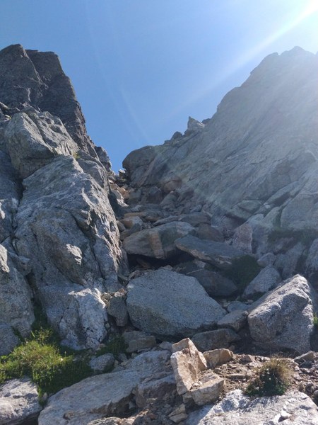
Why do we climb? and what awaits in the summit? Part
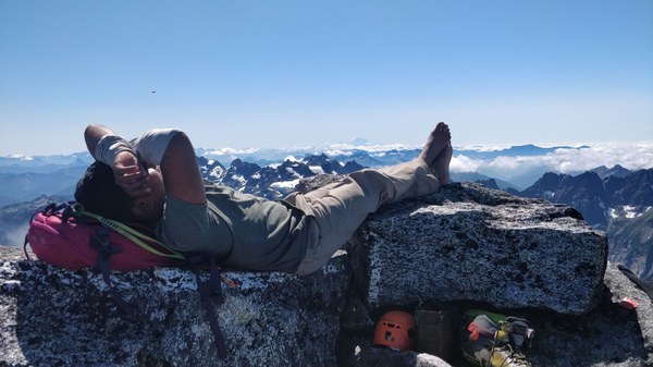
Since both me and didnt get any sleep the night before. We made it to the summit enjoyed the views. And both of us took naps after spotting Glacier peak, Rainier, Adams, Shuksan, Snowfield peak, Sahale, Baker and Pugh and many other mountains.
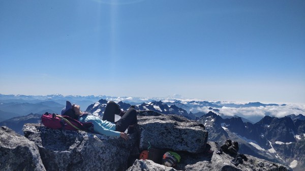
I was doing with a recovering sprained ankle (which did flare up a few times). So i kept my ankle raised when i took the nap
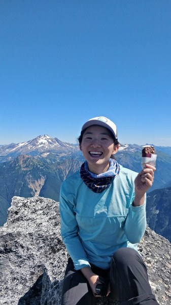
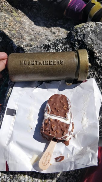
Summit treat and register
While I'm known to bring ice cream on climbs, I tried something new by bring a full bar of Hagen das, Vanilla ice cream covered with Chocolate and Almonds. I'm sure Bing really liked it
Going back in the trail was pretty straight forward. Which means we did lose the trail a few times - but general direction and flaggings here and there made it difficult for us to get lost
Overall less than 12 hours Car to Car
THE SUMMIT REGISTER IS FULL, CONSIDER CARRYING SOME MORE PAPER. also there is some good poetry left in the summit register
 Ananth Maniam (ஆனந்த் மணியம்)