Trip Report
Strawberry Mountain (Oregon)
Exploratory outing to the fascinating and gorgeous Strawberry Mountain Wilderness in the Malheur National Forest of eastern Oregon.
- Sat, Jun 22, 2019 — Sun, Jun 23, 2019
- Strawberry Mountain
- Scrambling
- Successful
-

- Road rough but passable
-
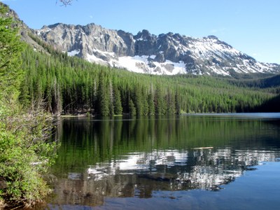
This was a scrambling trip with the Mountaineers' sister organization, the Mazamas. A long, but beautiful drive takes you through the John Day Fossil Beds and Painted Hills areas. Cars can be left in Prairie City at a complimentary parking lot, with carpooling 11 miles to the trailhead. Camping is available there or at Strawberry Lake with only a 1.5 mile pack in.
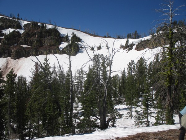
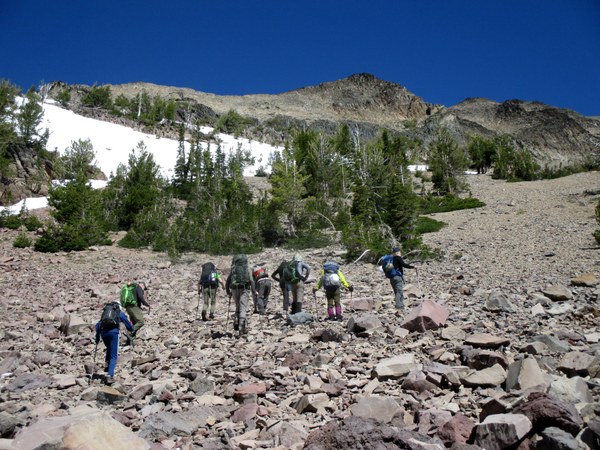
Snow began not far above the lake and the trail eventually disappeared completely. Our intended south ridge route was still under snow with cornices on the approach. Since I was assistant leader on this trip, the leader and I decided to take the safest route by traversing the peak to the northeast ridge with mostly snow-free relatively easy travel. A trip later in the summer will offer you the more challenging south ridge scramble to the summit at 9,035 feet.
Corniced south ridge:
Alternative route:
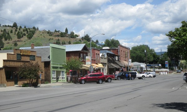
Prairie City is a quiet, "western" town. Public bathrooms are available as well as free complimentary parking at the junction of Bridge St. and hwy 26. It is about 11 miles from the trailhead and campground on a decent, but very dusty, gravel road. There are several large potholes to watch for on the last couple of miles, but high clearance is not needed - just caution.
No permits at all are needed to park at the trailhead, but a small fee is required to camp there. Well maintained bathrooms are there as well.
It was a very enjoyable trip with great companions! Next time I will allow at least an extra day or two to explore that fascinating volcanic region.
Prairie City main street:
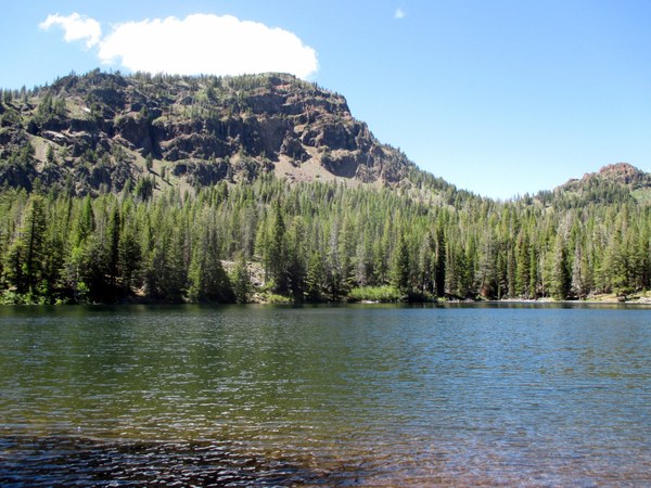
View at Strawberry Lake:
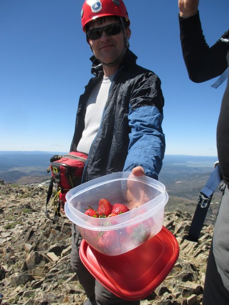
Have a strawberry on Strawberry Mountain!
 Nancy Lloyd