
Trip Report
Tatoosh Range Traverse
One-day trip covering the western half of the range
- Thu, Jul 25, 2024
- Tatoosh Range Traverse
- Scrambling
- Successful
-

- Road suitable for all vehicles
Covered peaks:
- Plummer
- Denman
- Lane
- Wahpenayo
- Chutla
- Eagle
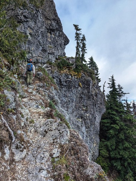
Parked a car at Eagle TH then shuttled up to Pinnacle TH. First two peaks were straightforward (as expected given their technical rating). A couple of delightful ledges up towards Denman.
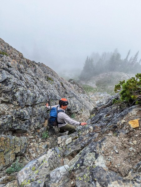
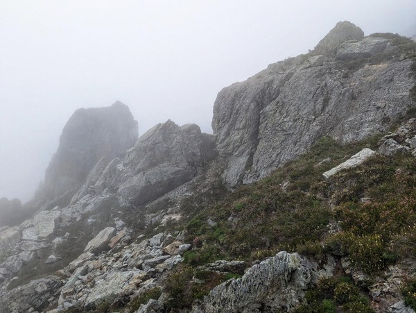
Lane was probably the hardest given the loose rock (we kicked down a couple of fist-sized ones) and since it has a bunch of options towards the summit that can easily end up in harder terrain. I think we took a non-standard route up but gladly found a more travelled and easier gully on the descent (we came up a bit SW of the summit, better gully on the SE side). From the bottom I felt it wasn't that obvious that the gully would be the easier choice. We were fogged in but also it looked fairly steep.
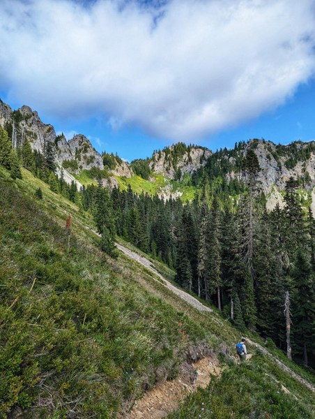
Until then all travel was on maintained or at least well-traveled trail. After that the trail vanished. Occasionally we found short-lived paths but it possible that all of them were just game trail. Initially we planned to drop down to a tarn feeding into Butter Creek to refill on water but since we were still fogged in and it was pretty cool we didn't use up much water and could thus bypass the tarn. We ended up close to it anyway since the first part of the traverse over to peak #4 had some less pleasant sidehilling on heather (made worse by the fact that all the meadows were pretty wet with ice-cold morning dew; side note: the forecast called for "sunny", I brought rain pants anyway which prevented me from an extended stay in type 2 fun territory). Half-way towards the SE ridge of Wahpenayo the scenery changed into boulder meadows which were much more pleasant to travel on. Since the fog continued to persist we did not ascend the SE ridge all the way to the top (the Goldman book says it's more technical) and instead looped around on easier terrain. Once getting the W ridge there is an established boot path again.
Towards Chutla we descended the climber's trail until ~5400' then crossed over to trail retaining the elevation. There was a short section here that had a ridiculous amount of mosquitos whereas the rest of day we did not encounter any! Possibly had to do with the sun finally coming out. We tried to do a rising traverse here at first but the heather was again wet and unpleasant. Staying in the flatter spots and just heading towards the trail via the flattest terrain ended up being much easier than the heather slopes. Ascents to Chutla + Eagle were straightforward modulo the crux move on Eagle which for me was the spiciest move on the descent (given the lack of visibility of the footholds in an area of solid exposure).
The last section of Eagle Peak trail towards the ridge is pretty steep with plenty of steps and switchbacks. I was kind of dreading the descent back down to the second car but once you are in the woods it ends up being super pleasant (very gradual on soft ground). I considered trail running the last 5k for a bit...
Overall an excellent day and since we were fogged in for the majority of the day I would consider doing this again in future years hoping for some more views! All peaks except for Lane have fairly well-established climber's paths towards the top and wherever they are not obvious the terrain pretty quickly prevents you from going off-route if you want to stay within the assigned technical rating.
Timings (we weren't paying attention to efficiency since we realized pretty early that time would not be a concern):
- Start: 6:45
- Plummer: 7:45
- Denman: 8:30
- Lane: 9:45
- Wahpenayo: 12:40 (includes a 25-min break in the hope for the fog to lift a bit which it didn't)
- Chutla: 15:10
- Eagle: 16:10
- End: 18:30
GPS track + some more pictures: https://www.strava.com/activities/11989638416
 Tobias Bajwa