Trip Report
Thomas Mountain (winter)
Trail dry and bare up Easton Ridge, snow steady from Para Point to Thomas Mountain.
- Sun, Jun 12, 2022
- Thomas Mountain (winter)
- Day Hiking & Scrambling
- Successful
-

- Road suitable for all vehicles
-
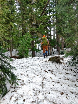
Up to Domerie Ridge, the trail is snow free and in great condition. From Para Point to Thomas the snow is all compact, but soft mashed potatoes.
In search of a break from the June Gloom, we headed to adventure just over the pass to Thomas Mountain. We left the house just before 6 am and were on the trail at 7:10 AM. Not the first at the trailhead, but all others seemed to be going to French Cabin. There was also a crew from the Cascade Crest Runners doing volunteer trail maintenance in preparation for their upcoming run (thank you!).
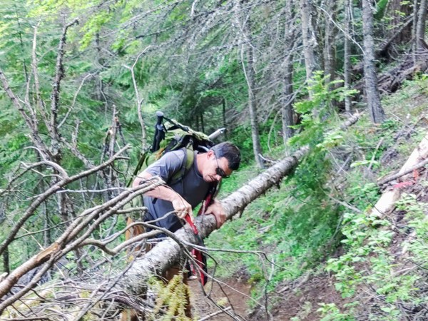
Along the trail headed up to Para Point there were still a few downed trees to navigate, but most of the obstacle have been cleared since I was last there in early May. The trail is melted out and in great shape up to Para Point.

At the top, we turned left, into consistent mash potato snow, using our compass and the ridge features to continue north. The snow itself was perfect condition- just soft enough to kick into, but not sink into. We only fell through a couple of times. My husband enjoyed boot skiing down the steeper slopes. Along the way we frequently crossed the tracks of a very large cougar. The tracks were heading south and were not new, but not old.

As we approached the peak of Thomas Mtn, some rock and dirt were intermittently melted out, but still mostly deep snow along the west flank.

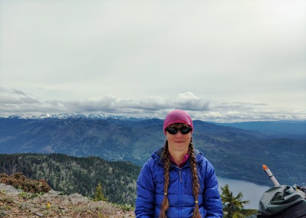
The sky was clear enough to give us teaser views of the Stuart Range, Cle Elum, and of course Lake Cle Elum below us at the summit. It being very pleasant to hang out in the sun, we lingered maybe 20 plus minutes before returning to Para Point.

Heading up the trail we had been alone, but now going down just after 12 PM, we frequently paused to yield to uphill trekkers. All were asking us how the conditions were on Baldy- but we didn’t know, having not been there.
The trailhead and road up to was full of cars when we arrived, complete with the suspicious couple just lurking with no seeming intent to hike or leave.
Including two log clearing cuts, lingering time at the summit, pausing to say hello to an old friend en route, total travel time 3:10 to summit, 5:50 overall. 7.9 miles round trip, Gain of 3575 ft to Thomas Mtn summit from trailhead. Gear used: Felco folding pruning saw, trekking poles, micro spikes, gaiters, paper map and old-fashioned compass.
 Michelle Peterson