Trip Report
Timberline Trail
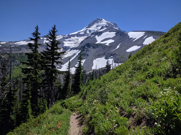
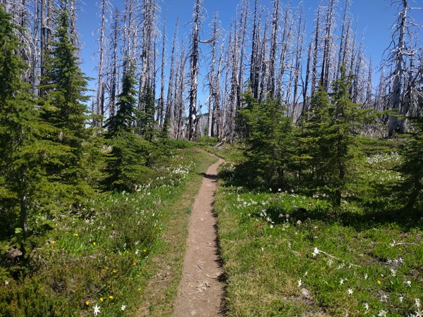
I found this an excellent time to visit the trail. The wildflowers were on display, the temperatures were enjoyable, but the snow and rivers were manageable.
- Sun, Jul 23, 2017 — Tue, Jul 25, 2017
- Timberline Trail
- Backpacking
- Successful
-

- Road suitable for all vehicles
Timberline Trail Trip Report
I hiked the Timberline Trail in three days, clockwise from Timberline Lodge with a 12.5 mile, 13 mile and 14 mile day. The conditions reported below are specific to this trip.
 Parking: Overnight Parking is allowed at Timberline lodge along the concrete barriers. Look for the overnight parking signs at the entrance-end of the concrete dividers. The Timberline Lodge website reference to “no overnight parking” refers to the very top lot used for Timberline guests.
Permit: The self-issue permit station in about half a mile walk from the lot, where you meet-up with the Timberline/PCT trail.
Campsites:
Night 1 - Right before the Muddy River crossing. Nice forested sites with easy access to water.
Night 2 - Cloud Cap campground. This is a car-camp site with restroom and water. The Cloud Cap Inn is closed and shuttered (I checked with devious intent). These campsites would likely be full on the weekends, but had just two visitors on Monday night. If you wanted to avoid the campground, I’m not sure what to recommend. There is a shelter at Copper Spur, off the main trail, but there isn’t nearby water. The safest would be to carry water from Cloud Cap. I saw some small snowfield melt streams on the way up to Copper Spur. There are also some nice campsites on Gnarl Ridge (Lat: 45.36130, Lon: -121.64901, Elevation: 6716 ft), but that makes for a very long second day at 17 miles. Stopping before the Cloud Cap campsite makes for a long third day at 16 or 17 miles.
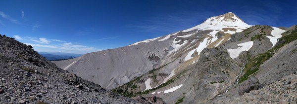
Snow: The snow patches were small and easily crossed in trail runners.
Trail: Long sections of the trail are powdery or sandy. Dirt gaiters will serve you well. There were a manageable number of downed trees throughout the trail with a concentration in the northward-ascent from Zigzag Canyon
Bugs: Flies were annoying the first day with a few biting, but mostly swarming. They went away by 8pm, making for a nice evening. There were only a few mosquitoes around Cloud Cap. The flies went away part way through the second day.
River-Crossings: The river crossings were quite manageable for your average hiker. My feet got wet three times, at the Sandy, Muddy and Eliot River crossings. The rest were crossable with some rock-hopping. The Muddy was more accident as a got a bad leap and ended up in the water. The Eliot crossing was the most difficult with about 4-5 steps through cold, fast-moving, knee-deep water. Be sure of each foot’s hold before moving the next foot. In all cases, the water was knee-deep or less. That said, I wouldn’t take a child across these.
My shoes dry “quickly”, but that is still half a day hiking with wet feet, the cause of several blisters. I recommend making an effort to keep your feet dry, even though the crossing may only be a few steps. Try using river-crossing shoes with a heel-strap (flip-flops will fly off in the fast moving water). I have not tried this, but perhaps take off your socks and then protecting them from wet shoes with plastic bags, until the shoes dry.

People: WOW, busy place. I highly recommend a weekday-only trip. Sunday was crowded with many day-hikers accessing the trail from Timberline or the access trails at Ramona Falls, McGee, Mazama, Elk Cove Trails.
Eliot Reroute: The Eliot Branch reroute trail has been completed and is obvious and easy to follow.
My track of the re-route is available here: https://goo.gl/89Rpbh

 Chris Finley