Trip Report
Urban Walk & Geocaching - Coal Creek Natural Area
Geocaching. A new feature for Urban Walks. This was the inaugural trip.
- Wed, Sep 20, 2023
- Urban Walk - Coal Creek Natural Area
- Coal Creek Natural Area
- Urban Walking
- Successful
-

- Road suitable for all vehicles
-
We met at Coal Creek Natural Area parking lot, (Google map link). This is location of “Upper Coal Creek Trail West Trailhead” which can be found using those exact words in a driving app.
Driving Directions - If arriving from southbound Coal Creek Parkway SE, there’s no left turn into the parking lot. You will need to proceed further south and turn right at the next stoplight (SE 60th St) to find a safe turnaround location; then, return to the same stoplight at Coal Crk Pkwy, turn northbound and make right-hand turn into the parking lot. During our scouting trip, it appears that due to this “no left turn” issue, some driving apps will take you in a huge, out-of-the-way loop. Instead, it’s easiest to go to SE 60th St and find a safe place to turn around.
Route - From the parking lot, there's a concrete walkway that goes under Coal Creek Parkway and provides access to Lower Coal Creek trail and other trails which head north and are west of Coal Creek Parkway. It seems that only local residents know about this access because unlike the trail complex on the east side of Coal Creek Parkway or nearby Cougar Mountain, we saw no one on these trails.
After returning to the parking lot, we headed southward. Within ~500 south of the parking lot, there's a side loop with some elevation gain that goes over a newly constructed bridge. This side trail is not currently shown on any map. It’s short, scenic and reconnects with the main trail. About ¼ mile south from the parking, we turned eastward on King County Neighborhood Trail which follows a lovely wooded creek drainage and passes under Forest Drive SE through a large pedestrian tunnel.
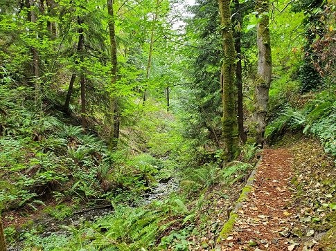
Coal Creek Natural Area trail All these trails are well graded for drainage and appeared to have recently placed wood chips. Street crossings are thru under-street tunnels. The trail includes stairs and switchbacks. In one place, the trail is narrow. There are portapotties at the trailhead. See attached picture of our route.
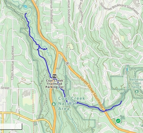
Urban Walk and Geocaching - route
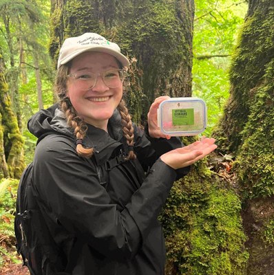
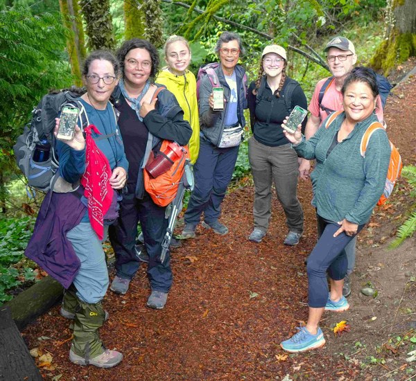
Geocaching. A new feature for Urban Walks. Sept 20 was the inaugural trip with 6 participants along trails in the Coal Creek Natural Area which is within Bellevue Parks jurisdiction. No geocaching experience was required. However, having the free geocaching app uploaded on each participant’s smartphone was absolutely required. At the trailhead, the co-chair and I provided an overview with show and tell, and made sure everyone knew how to use the app. Everyone was enthusiastic and eager to get on the trail.
We headed north from the parking lot, crossing Coal Creek Parkway through an under-street pedestrian tunnel. The first geocache was ~1 mile north of the trailhead. Using the app and group collaboration, the Urban Walk team decided which trail would get them to the geocache. (Although this never happened, if the Urban Walk group had turned down a wrong trail, the trip leaders would have guided them back to the correct direction.) The first geocache was easily found. But the second cache which was in a much smaller cache container, required more sleuthing. A lot of laughter and group interaction resulted in a successful find.
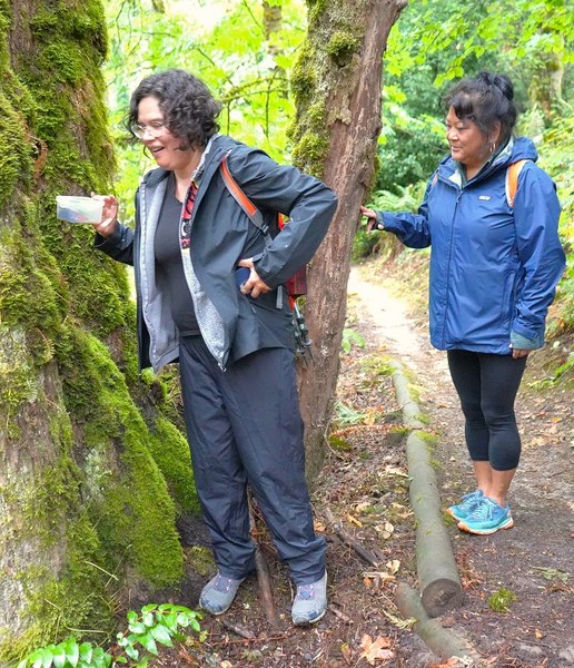
Then, we headed back to the parking lot for a snack and toilet break before walking southward. The 3rd and final geocache was ~1 mile away. This route lead us along some scenic trails which followed Coal Creek and adjacent drainages, and included a few switchbacks and stairs for good exercise. Again, good team work resulted in finding the geocache. I had briefly turned to chat with my co-leader, but knew the geocache had been found by the laughter and cheer and went up from the group.
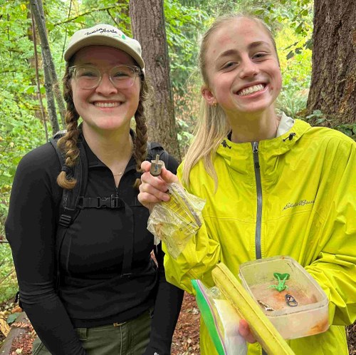
What was nice about this trip, and hopefully future Urban Walks with Geocaching trips, was the mix of ages, from young adult to middle age. As well as the high degree of group interaction and group support. Smiles all around 😊
 Roseanne Lorenzana