Trip Report
Urban Walk - May Creek, The Highlands & Lake Boren
Urban Walk, mostly on forested trails. Almost feels like a hike, except for the few parts walking sidewalks thru neighborhoods. Cool artifacts.
- Thu, Nov 23, 2023
- Urban Walk - May Creek, The Highlands & Lake Boren
- May Creek, The Highlands & Lake Boren
- Urban Walking
- Successful
-

- Road suitable for all vehicles
-
Walking surfaces include gravel, packed earth, pavement and sidewalks. Crossing streets with vehicle traffic occurs at crosswalks, some have traffic lights. The stoplight at Coal Creek Parkway is incredibly short and the pedestrian signal starts flashing before you're half way across.
This route is mostly on forested trails. All trails are in good condition and easy to follow, except the short section between the Highland Trail and getting to the top of the ridge to connect with the De Leo Wall Viewpoint trail. On this trip, a lot of this trail was covered in fallen leaves; so, in a different season it might be easier to see the existing trail. The May Creek trail eastward of the junction with the Waterline trail becomes narrow and when adjacent to the creek is more uneven. Today the creek and moss-covered trees were glistening in the Thanksgiving Day sunshine.
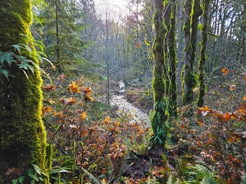
May Creek and Mossy trees in sunshine 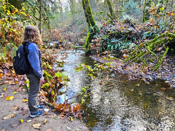
Admiring May Creek, 11.23.2023 The short section from the De Leo Wall viewpoint to the intersection with Terrace trail is narrow with steep drop off (about 0.4 mile length). Sometimes roots and rocks to step over in this section. Urban walk participants need to have experience on narrow, forested trails to be safe on this section. Poles for balance are a good idea.
From Lake Boren Park, we headed westward, passing the historic Newcastle Cemetery and Newcastle's Donegal neighborhood before heading south on City of Newcastle's "Horse Trail" (although it did not look like a good trail for horses) until reaching the May Creek trail. On the May Creek trail, we headed west on former Walla Walla Railroad route and read the info sign about the trestle before doubling back on the May Creek trail to cross Coal Creek Parkway to access the Highlands trail and the China Creek Open Space. Heading toward the east end of De Leo Wall, there’s a labyrinth of trails and not much evidence of others going this route. So, good to have a map/GPS. Connected with De Leo Wall Viewpoint trail just into the eastern edge of CougarMountain Park, but it’s only a few hundred feet going back westward before being back into King County & City of Newcastle trail systems to connect with the Crosstown Trail and, eventually, back to Lake Boren Park.
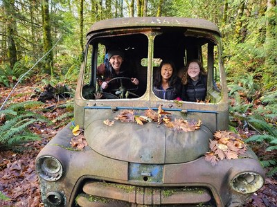
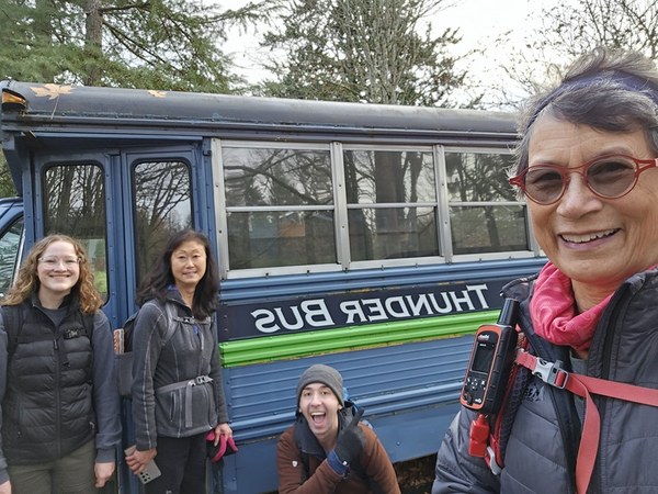
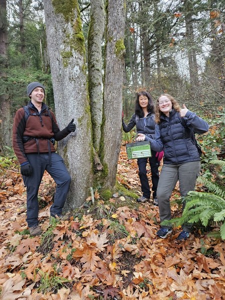
Thunder Bus, USPS Mail truck, ruins of a falling-down house in the woods and sundry abandoned vehicles (how did those get so far back in the woods?) were the interesting artifacts along this route. Altho not intended as part of this trip, the group found a couple geocaches, too.
 Roseanne Lorenzana