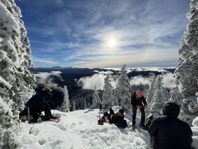
Trip Report
Winter Scramble - Aurora Peak
Although a long commute (especially with the ferry ride), this gorgeous and strenuous venue near Lake Crescent gave us stunning views of the inner Olympics. Especially appreciated after the recent frozen rain weather antics in the lowland areas. (Lead photo by Jesse Bengtsson)
- Sun, Jan 1, 2023
- Winter Scramble - Aurora Peak
- Aurora Peak
- Scrambling
- Successful
-

- Road suitable for all vehicles
-
The trail was in great shape in spite of its sparse parking (3-4 spots on the shoulder) and poorly marked start (absolutely no signage). The easiest way to find the trail is to measure 2.6 miles west of the Storm King Ranger Station turnoff (from Highway 101), locate Aurora Creek, and the trail is ~50’ east of it. The Ranger Station has heated bathrooms and is rarely closed. We used micro-spikes between 3500’ - 4000’ and snowshoes above that. Did not bring or need crampons. We brought but did not use helmets, although with a bit more warming we might have used them for snow/ice fall from the trees above.
In spite of ferry service variations we were able to head out from the cars at 9:30am (our party used the 6:10am Bainbridge ferry and the 7:10am Edmonds ferry). Eighty minutes into the day we were presented with a nice territorial view of Lake Crescent:
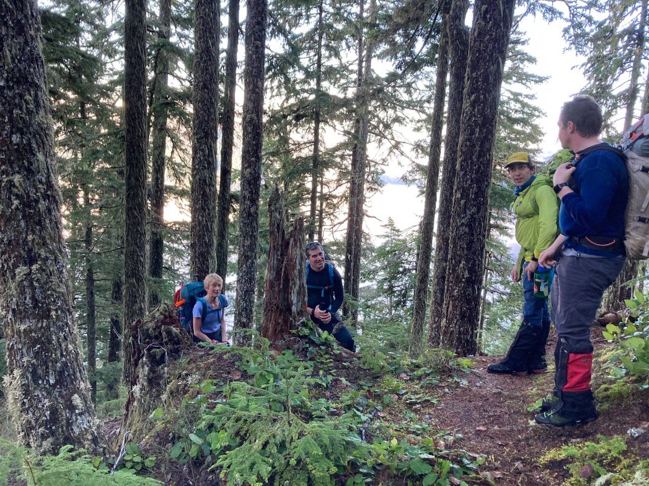
Still using boots just below ~3500’:
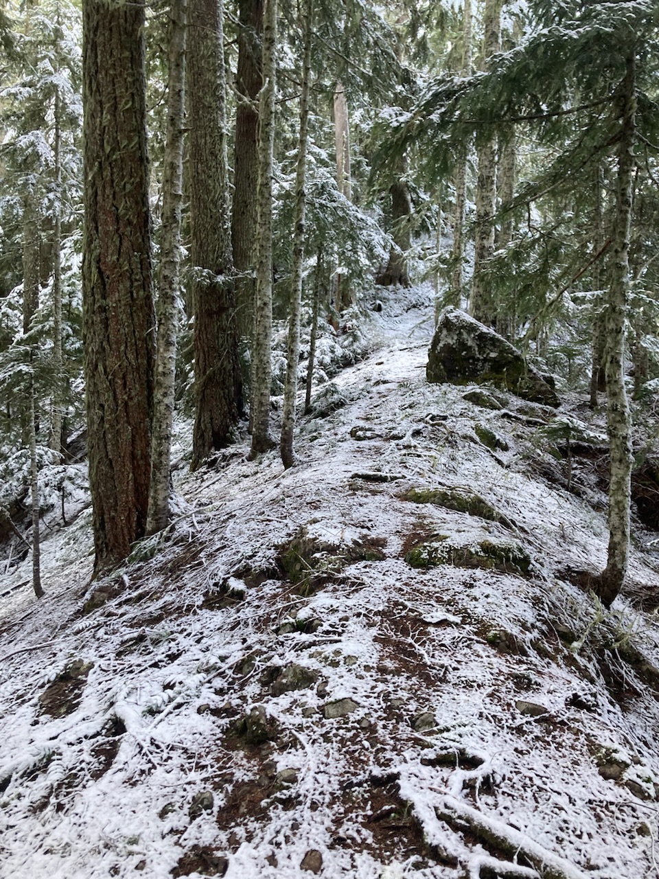
Even after reaching Happy Lake Ridge at ~4250’ we still had clouds with brief moments of sun. Where are the views promised by the forecast? No need to worry, just below the final ascent (48.02102° N, 123.81778° W at ~4300’), solid blue sky above!
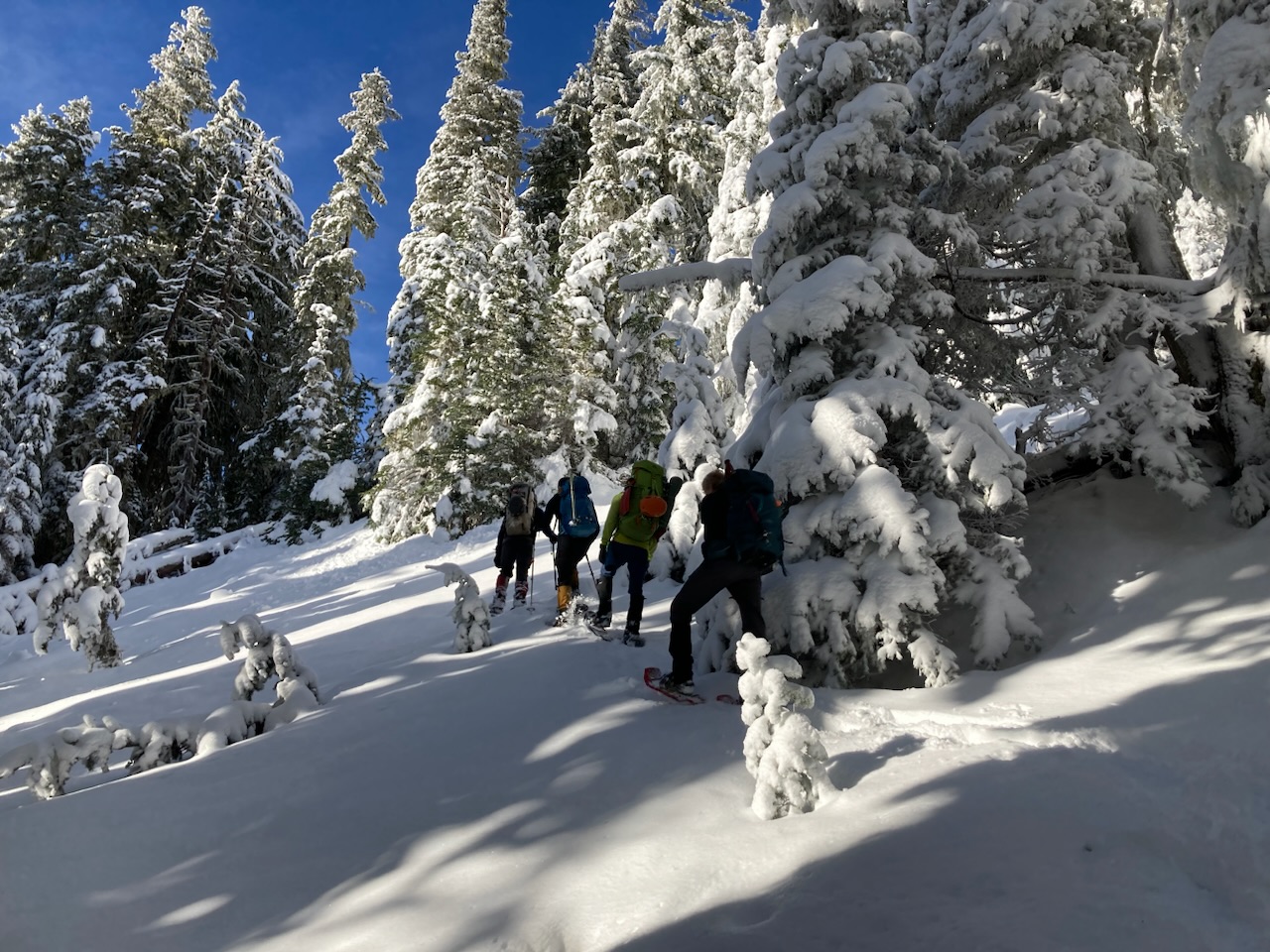
Back on the ridge crest, note the angelic halo around Ehren’s head:
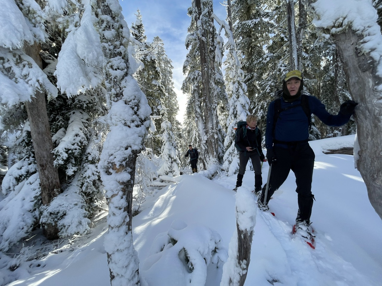 (By Jesse Bengtsson)
Almost there…
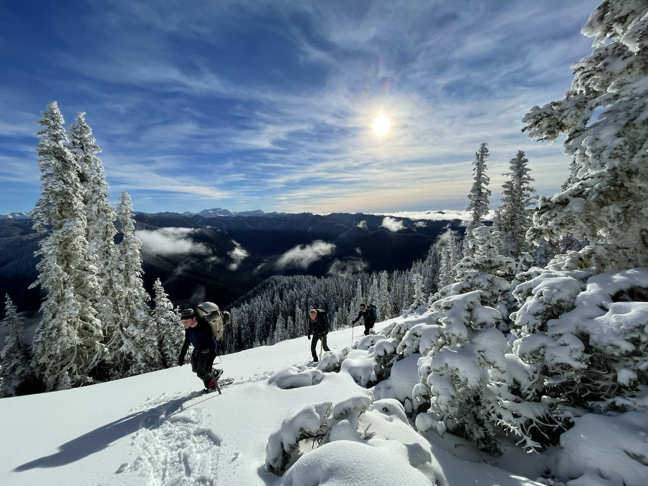 (By Jesse Bengtsson)
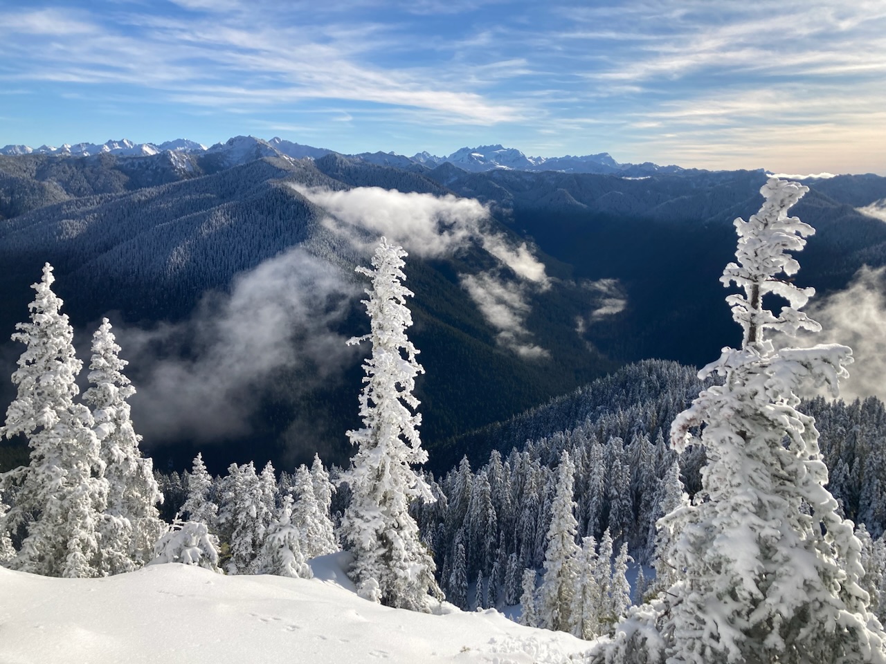
Rime on the trees with Olympus beckoning beyond…
Aurora Peak is an odd one with minimal views on the summit, so we opted for well deserved sunny lunch first (drenched in views) before taking on the last 60’ of krumholtz (sans packs to make things easier).
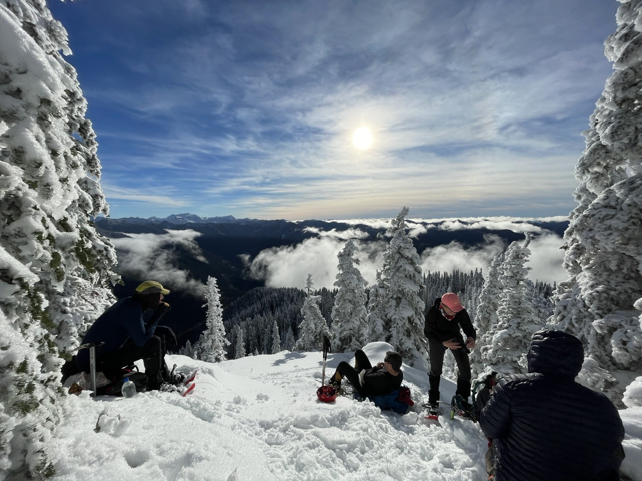 (By Jesse Bengtsson)
Max’s telephoto gave us this great shot of Mount Olympus (left) and Mount Tom (right):
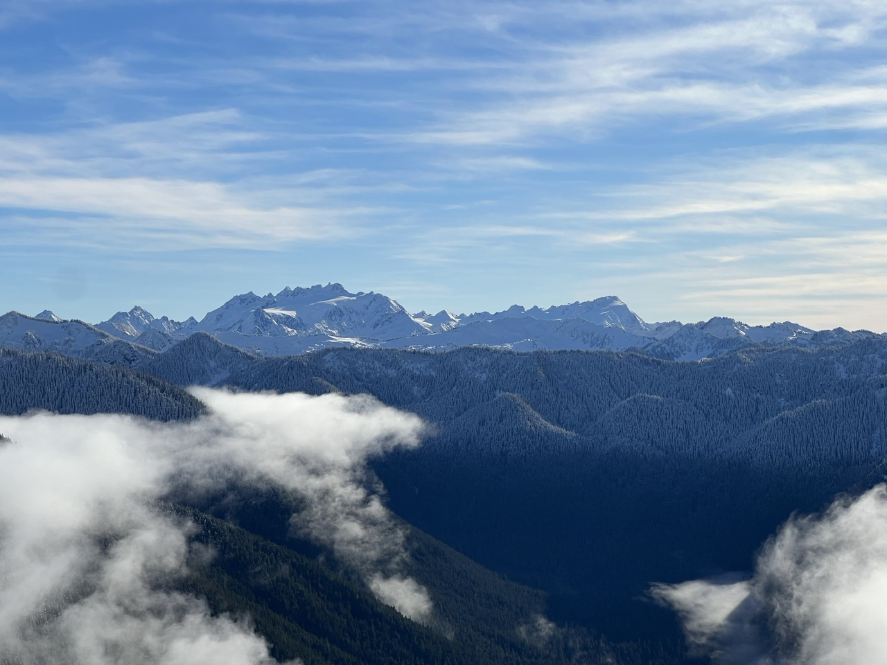 (By Max Parsons)
The Lake Crescent valley with Strait of Juan de Fuca beyond:
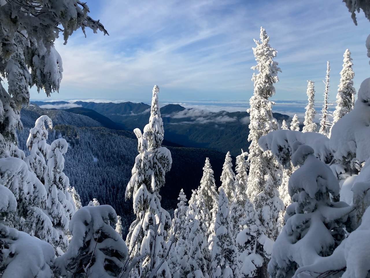
With the sun completely obscured by rime coated trees the summit was a walk-in freezer:
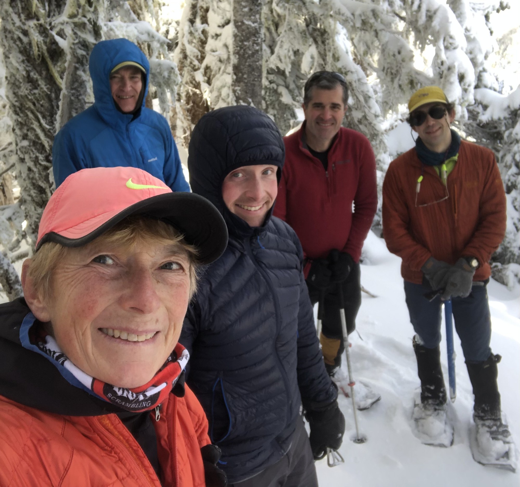 (By Nina Crampton)
Note the glimpse of sunny Victoria, Canada to the north:
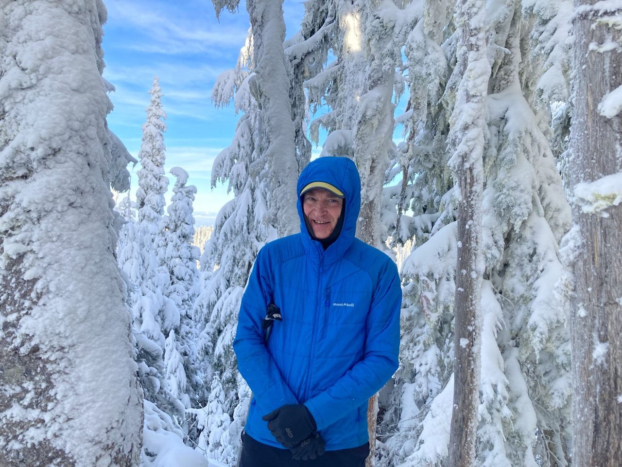 (By Nina Crampton)
Time to head home…
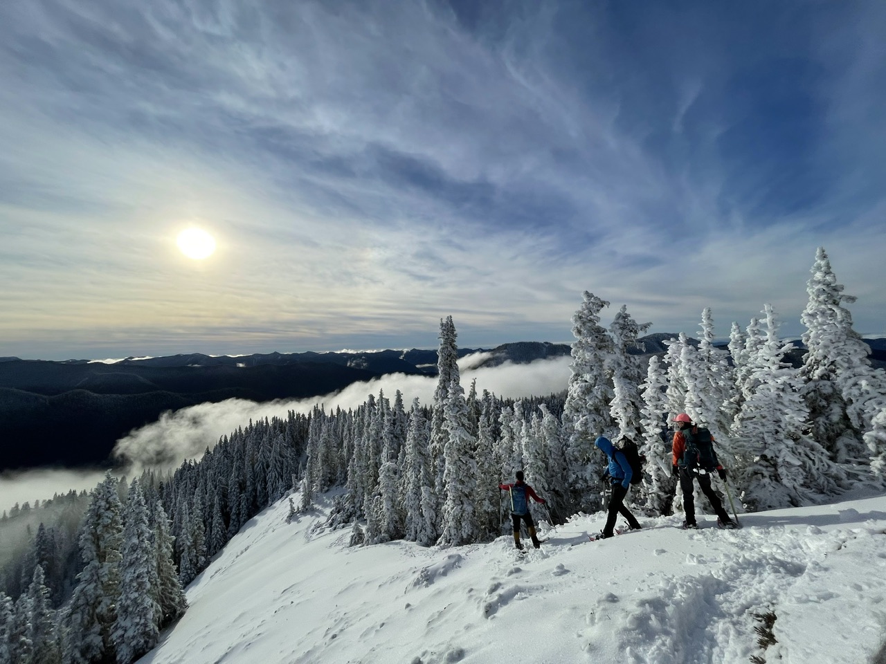 (By Jesse Bengtsson)
Yes, that sun is going down fast!
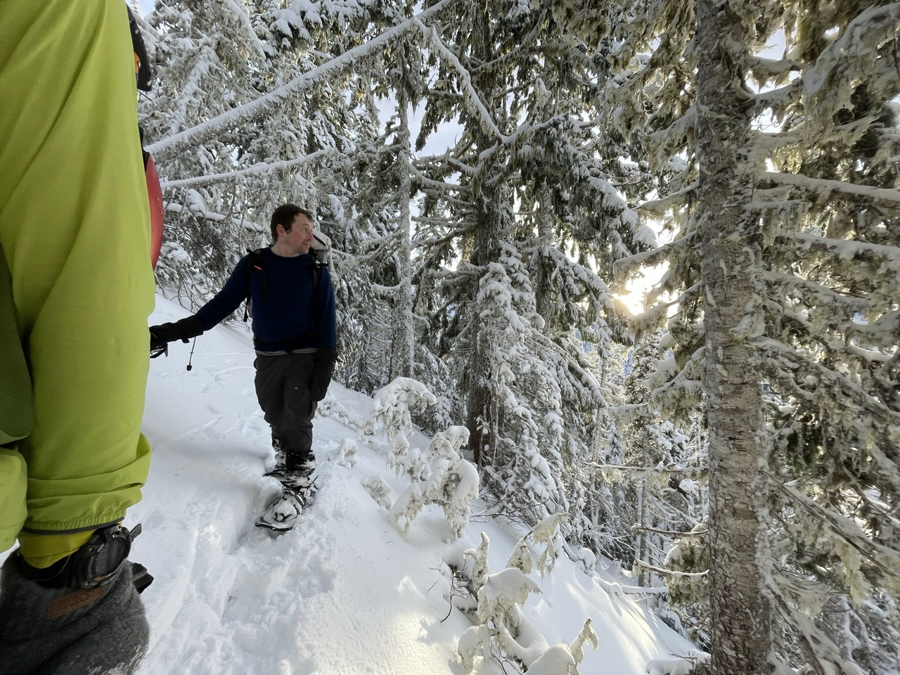 (By Jesse Bengtsson)
Back to the cars before needing headlamps (but just barely ;):
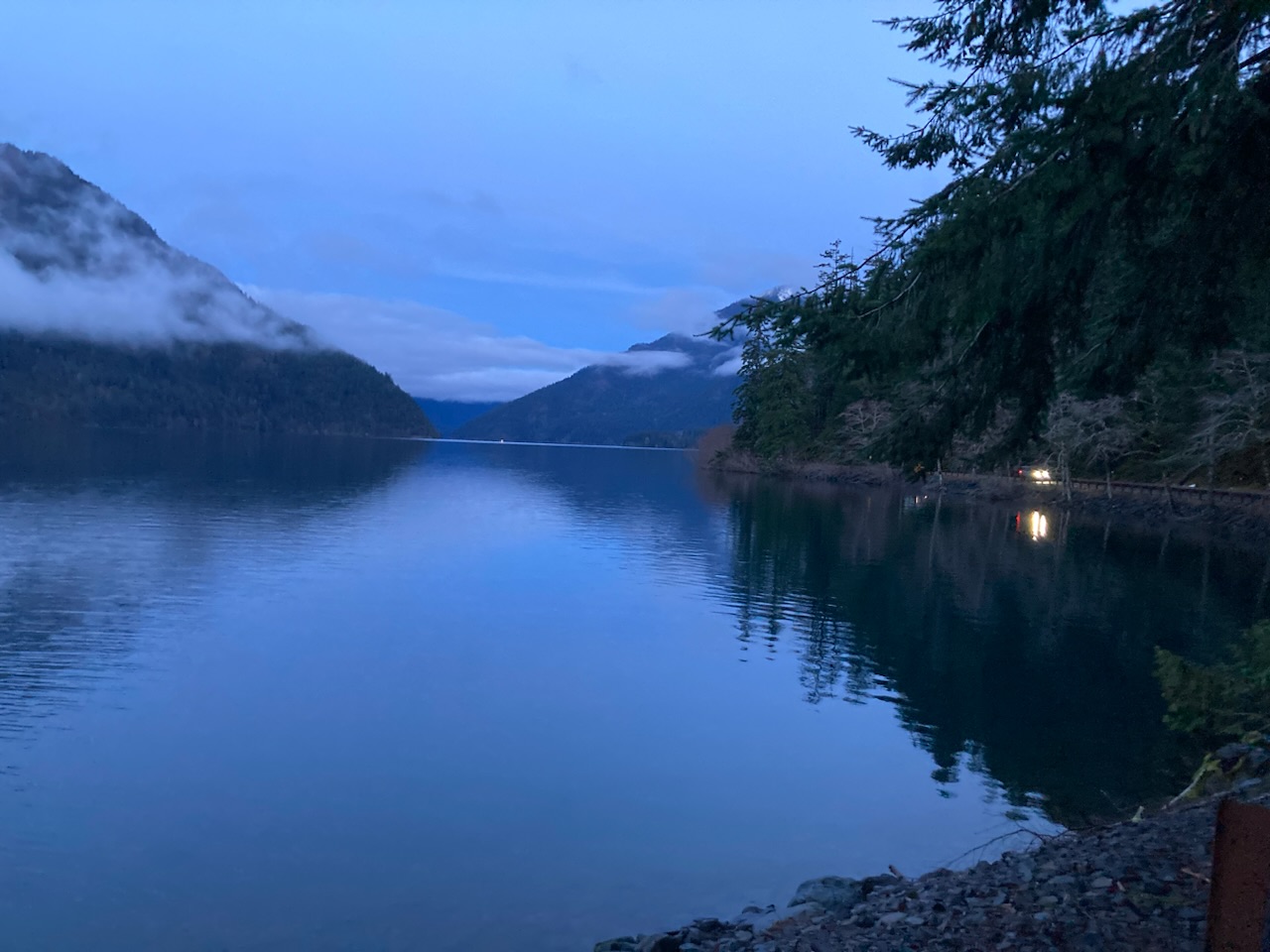
A greatly appreciated day in the mountains on this ~5000’ gain/9.0 mile trip, with a total time of 7.5 hours (4 hours on the ascent, 2.5 hours on the descent, with a few breaks here and there plus lunch). Photos from this and other trips to this venue can be seen here.
 Dave Morgan