Trip Report
Winter Scramble - Bandera Mountain
Although posted as a winter scramble, we did not encounter any snow. Nice route that's kind of a loop and gets one away from the road noise faster.
- Sat, Nov 17, 2018
- Winter Scramble - Bandera Mountain
- Ira Spring & Putrid Pete's Peak Trails
- Scrambling
- Successful
-

- Road suitable for all vehicles
-
Some potholes on the gravel road to the Ira Springs TH, but not a problem. NW Forest Parking pass needed. Privy available.
Our group of 8 left the trailhead around 8:30 am on a beautiful November, albeit a bit chilly Sunday. Still lots of parking available although people were parked on the road on our return.
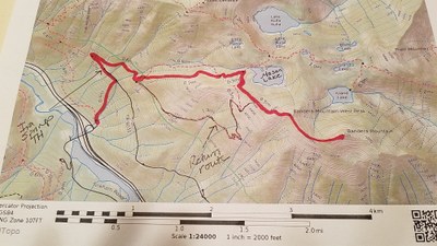
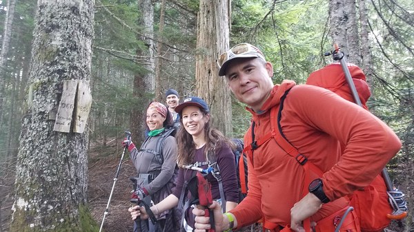
Not far past the wood bridge, we left the Ira Springs Trail and got on the old trail that used to be used to reach Mason Lake. This is what the turn off looks like.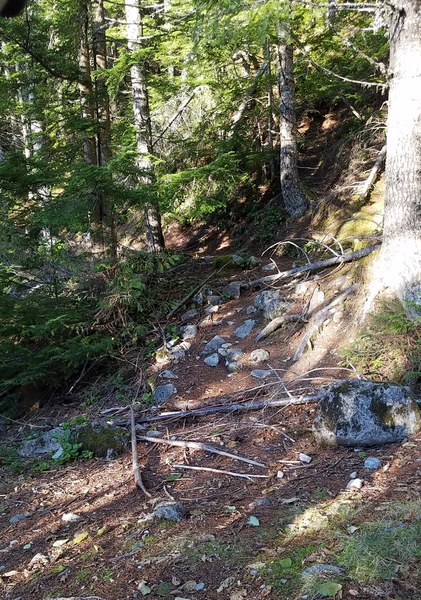 It's steep hiking up this trail, but it's in good shape. After a while we came to a junction. One member said she had taken the left fork and remembered it to be lovely as it had Mason Creek in sight. We decided to take the slightly shorter right fork instead. This was lovely as well and quiet. (Note the map's red line is for left fork, the one we did not take.) Just FYI - I asked her later which one she preferred and she said the left fork. An old sign.
We took turns leading. Each person had time with some easy navigation as a trail or bootpath was almost always evident. Before arriving below Mason Lake, we came across this boulderfield. Cairns guided us across where we picked up the trail/bootpath again. Luckily the boulders were dry although mossy. We probably could have dropped below the boulders to cross, but this wasn't much of a problem today. Photo courtesy of Claire G.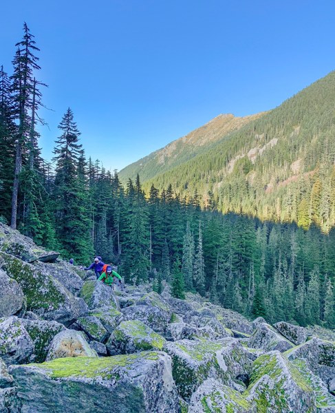 We connected back with the Ira Springs Trail right before it arrives at Mason Lake at round 10:45am. We decided not to stop at the lake although it would be a good place to take a break. We took a right, hiking up the trail to where the IraSpring Memorial Plaque is and got off the trail again and headed up the ridge towards Little Bandera (Bandera's West Peak.) Before we reached Little Bandera, the bootpath intersected with the Bandera Mtn Trail. We reached Little Bandera around 11:30am and then windy Bandera Mtn around noon. Photo of the last few steps before reaching the summit. Photo courtesy of Gunnar.
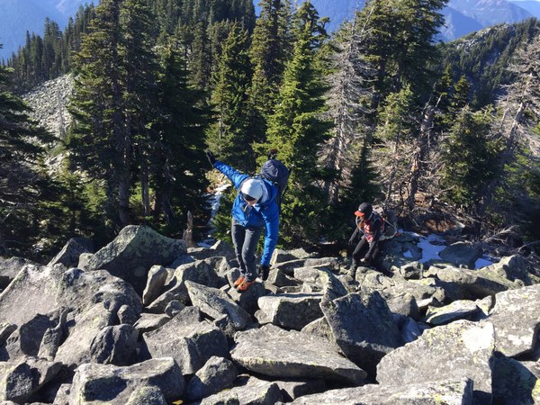
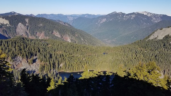
Some views from the summit.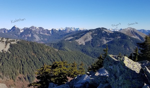 Island Lake with its little island. Rainbow Lake behind.
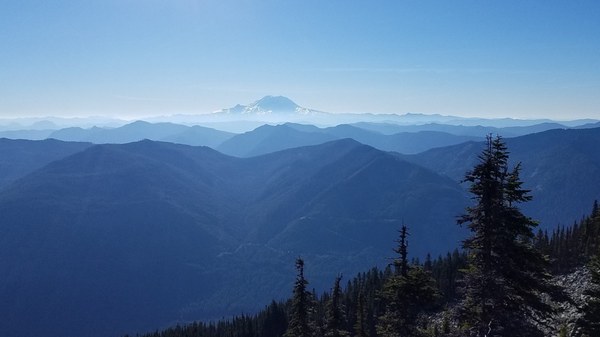
 Beautiful Rainier.
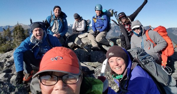
 We signed the summit register, took a summit selfie and then headed down a bit to have lunch out of the wind.
 Some photos of the ridge traverse back to Little Bandera.
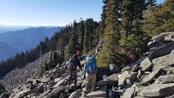
Looking back. Photo courtesy of Gunnar.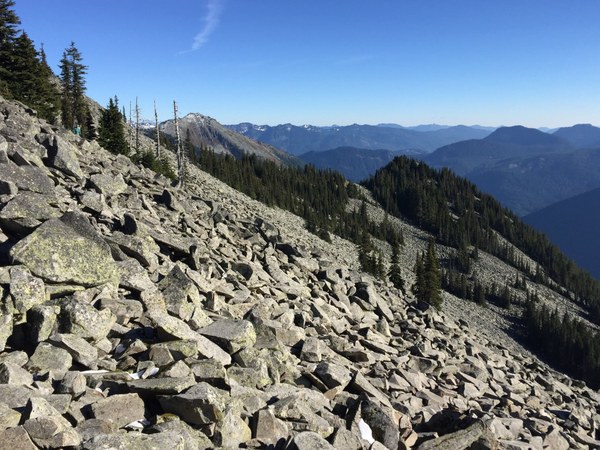 Almost past the boulders and back on the easy bootpath.
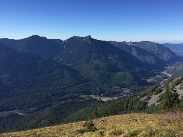
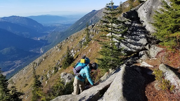 One more photo by Gunnar taken near Little Bandera I believe. I-90 below and McClellan Butte is high above.
We returned via the Ira Springs Trail taking a leisurely pace and arrived at the trailhead at 3:15pm. Another great day with the Mountaineers.
One person's GAIA read 7.8 miles/3300' gain.
 Susan Shih