Trip Report
Winter Scramble - Cleveland Mountain
Another rarely done scramble that turned out better than expected.
- Sun, Mar 8, 2020
- Winter Scramble - Cleveland Mountain
- Cleveland Mountain
- Scrambling
- Successful
-

- Road suitable for all vehicles
-
Route was in good shape, check snow conditions though, this trip is best done with moderate or low avalanche rating.
We parked at the beginning of FS Road 6422, and walked it till it crosses a creek, then went directly uphill for about 2000', passing by an old mine at the beginning. The forest is not too brushy. Keep the stream on your left and just go up. You will cross the road about 10 times before finally reaching the ridge.
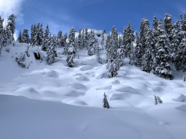
At about 4300' we traversed on the west side under a cliff, it is reportedly a knife ridge that you can go up and over, but we did not investigate.
Photo after the traverse:
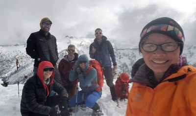
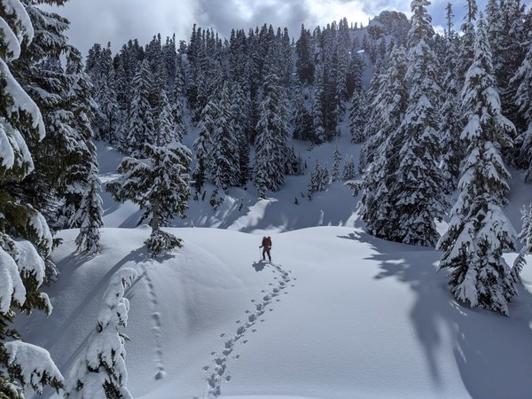
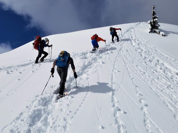
After passing over the pond shown on the USGS map, the snow changed from 12 inches of powder to more loose and wet since it was south facing. We were able to find a way to the summit by continuing to traverse to a north ridge of Cleveland, it looked possible to continuing traversing to the NE ridge, but was not necessary this time. Final push in this area was very steep, and we decided to take snowshoes off so we could plunge step back down.
Photo by Alex Negrila, shows the summit of Cleveland, we traversed to the far left
Photo by Sue Shih, final summit push:
Tom Girard photo, Lennox as seen from Cleveland:
Back down was of course much faster, total trip time was about 9 1/2 hours. The trip is about 8.5 miles and 4400' elevation gain (although there was quite a bit of variation from our various gps devices). Post scramble dinner at Whistling Post in Skykomish, which you can see from the summit.
 Tom Girard