Trip Report
Winter Scramble - Copper Mountain/East Ridge (Olympics)
Challenging winter scramble due to steepness and snow conditions. Out of all mountains in the Lake Cushman area, Copper Mountain is the easiest to mitigate avalanche terrain.
- Sun, Apr 9, 2017
- Winter Scramble - Copper Mountain
- Wagonwheel Lake & Copper Mountain
- Scrambling
- Turned Around
-

- Road recommended for high clearance only
-
Road
The Lake Cushman road looks like the surface of the moon. Would recommend only high clearance vehicles travel on the road.
Trail
Wagonwheel trail is mostly in good condition. There's two downed tree's where you have to crouch underneath them, most likely on hands and knees. The snow begins at the rock outcropping, which is little bit more than 1/2 way along the trail.
Trip Log:
http://www.movescount.com/moves/move151040756
Summary
Total time: 10 hours 13 minutes
Total Distance: 10.42 km
Total Ascent: 1284 meters
We started at the Wagonwheel trailhead. Used a slow approach pace to not burn out getting to the arm of Copper Mountain (2.5 hours) –this is right before the avalanche slope (~100 meters before). We put on snowshoes at the rock outcropping, and had them on the rest of the day ascending (accept for one small gully traverse).
We checked out the avalanche slope to gather information about snow stability. There were some small loose wet sections that released the day before when it warmed up. The biggest problem for the day is cornices.
Overall, the snowpack in the trees felt stable. Wind slabs, loose wet, and cornices was the avalanche problem for the day, and I would most certainly agree with that. The snowpack in the trees was consolidated either to ice layer, or from all the tree plopping from days past.
Everyone had avalanche safety gear {beacon, shovel, probe}.
As we started to make elevation on the arm, about halfway up, the large cornices started appearing. Careful route selection around cornices is important to minimize risk. It did not warm up as expected, so this was to our advantage as everything stayed frozen –like cornices.
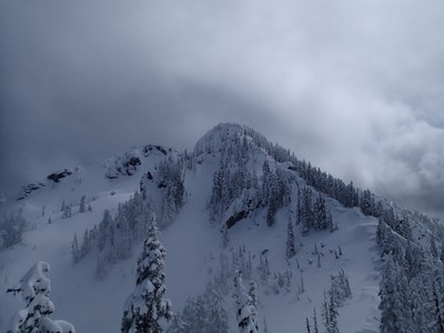
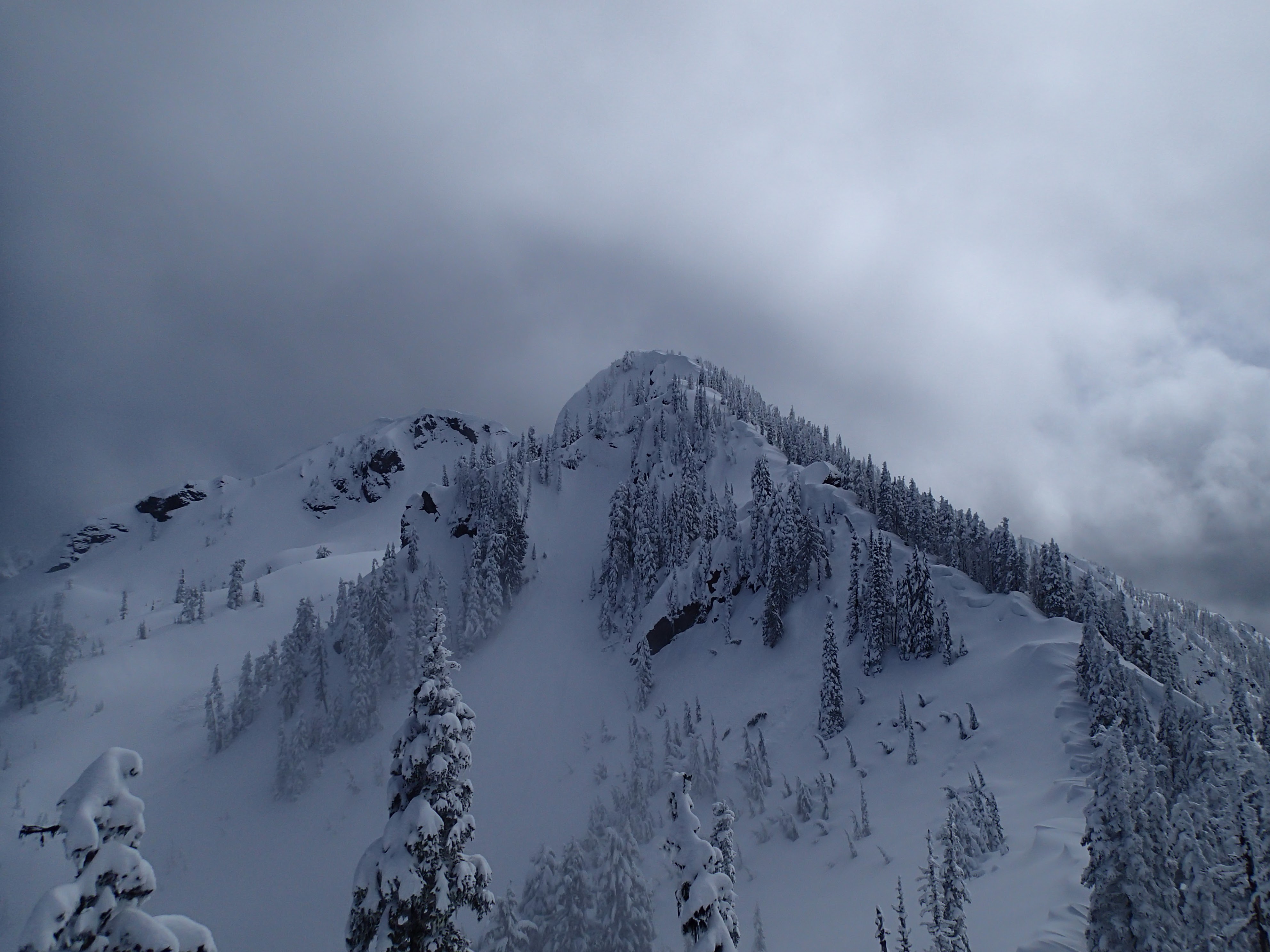
Made it to the ridgeline --where you can see the false summit and Copper Mountain. Conditions just were not favorable due to snow conditions, just too much fresh snow on very steep slopes made for very slow traveling.
About 200 meters from the ridgeline, there’s one section of a shallow gully that needs to be traversed. It was wind loaded where it presented an awkward obstacle with snow mound. Since the consequence of falling/sliding would mean: at best, climbing back up ~150 metes, at worst, wrapping around some trees, the group decided to setup a handline to traverse the section.
Since we broke down the snow mound, built a platform at the base, and set steps, on the return, we did not use a handline, just careful ice-axe self belay, and kickstepping.
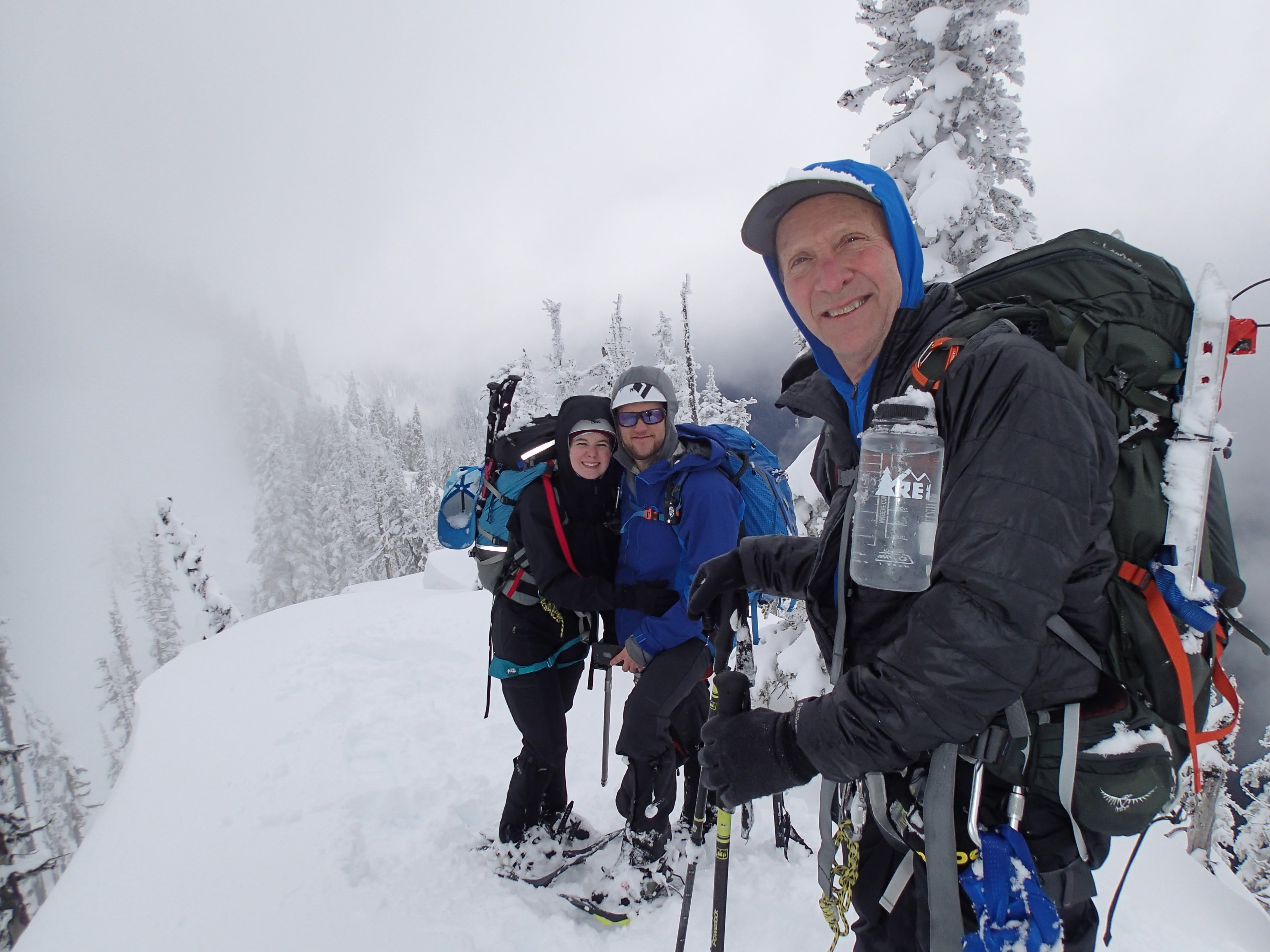
Here’s the crew on the ridgeline:
I'm looking forward to one day making a winter summit; it might just take an overnight to do it.
 David Geeraerts
 Jeff Bowman

