Trip Report
Winter Scramble - Mailbox Peak
Excellent conditioner - and practice for off trail approaches- but don’t expect to be home by lunchtime using this approach.
- Fri, Mar 5, 2021
- Winter Scramble - Mailbox Peak
- Mailbox Peak
- Scrambling
- Successful
-

- Road suitable for all vehicles
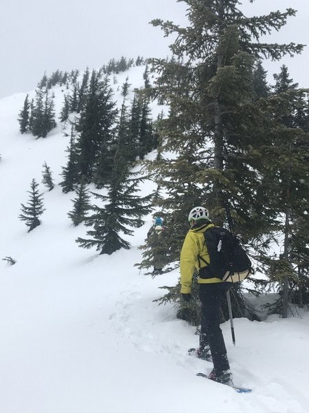
We left vehicles at the Mailbox trailhead, then drove 2 miles to the Granite Lakes parking area. At the intersection with the Granite Lakes connector trail we ascended south on the ridge. The first 1000’ on the ridge has moderate blowdown. The steepest part of the ridge is between 2200’ and 2600’, which had spotty soft snow. Either more or less snow on that section would make travel easier. Shortly above the old logging road at 2880’ we donned snowshoes, and found fairly easy travel, until entering about 300 vertical feet of dense small trees on a narrow ridge which slowed our progress considerably. Upon emerging from these at about 4400’, the summit comes into view.

We proceeded in or near tree bands by what appeared the safest avalanche risk route to the summit, where we were greeted by brisk winds and sideways snow.
We descended quickly via the old trail due to concern to arrive at the parking lot ahead of the posted 4 pm gate closure.
Despite an 80% chance of rain, we had almost none fall on us, as the only precipitation was snow above 4000’.
We were surprised that Gaia measured the route as 6 miles, as it felt longer, and we averaged under 1 mph with the obstacles and breaking trail with a small party.
 David Judish