Trip Report
Winter Scramble - Mount Price
Beautiful views on a peak that's not often done, especially this time of the year.
- Sat, Mar 27, 2021
- Winter Scramble - Mount Price
- Mount Price
- Scrambling
- Successful
-

- Road recommended for high clearance only
-
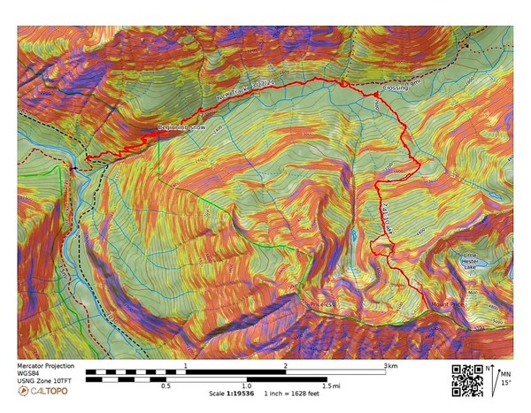
The last 5 miles or so to the Dingford Creek TH is pretty rough. High clearance vehicle definitely recommended. Toilet at the TH. NW Forest Parking Pass required. Our route was about 10 miles/4650' gain when averaging various people's tracks.
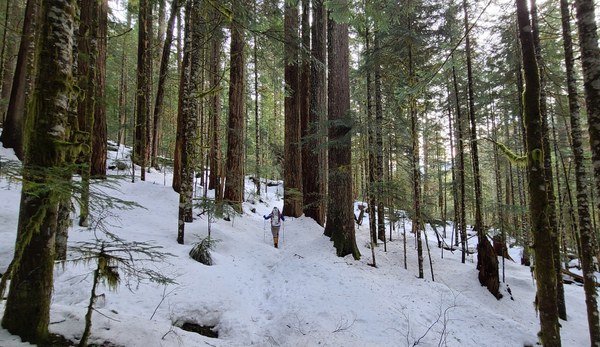
We arrived at the trailhead about half hour later than I had anticipated due to the difficult last 5 miles. We were surprised to see a few other cars with people getting ready to head out. One person replied, Mt Price when I asked where he was going. What was the chance of that, another party going to Mt Price, a peak rarely done, especially this time of the year. They soon departed and we waited a little before starting off at about 7:40am. 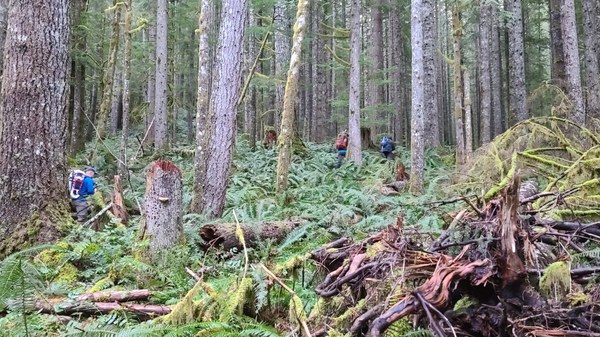 Around 2200' we hit consistent snow, but because it's pretty consolidated, we avoid putting on snowshoes.
 A little past 2 miles, soon after where the trail crosses Goat Creek, we start looking for a place to cross Dingford Creek. We see where the others crossed, but look a little more to see if there's a better place. Not finding any and not wanting to spend more time searching, we cross where they did. Many put on snowshoes to cross while some waited to cross before putting them on.
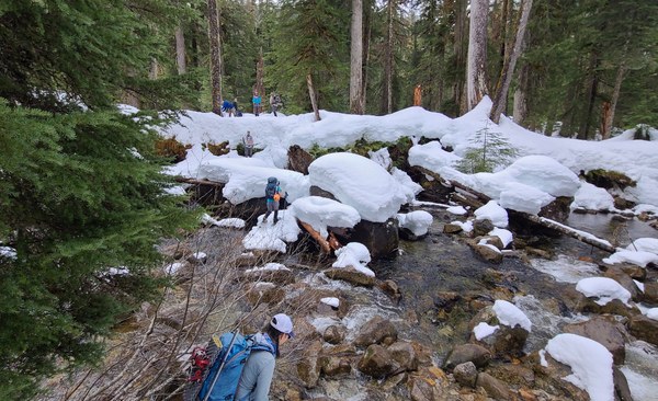 We continue to follow their tracks since their route is still similar to the route we had planned for ourselves. Into the clouds we go.
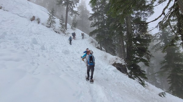
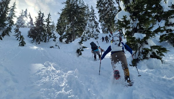
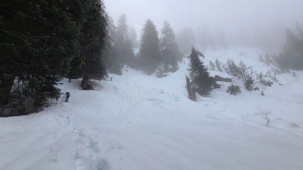 There are several very steep sections and this is one of them, at about 3200'. Once on top of this steeper section, the tracks diverge from our planned route. It was difficult to decide what to do, but the allure of a broken trail was just too much for us and their route appeared to be a route we had considered during the planning stage.
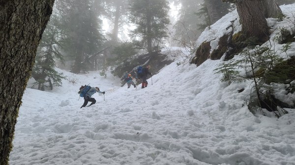 So we continued following their tracks, doing a westward traverse which was a nice break on the legs.
 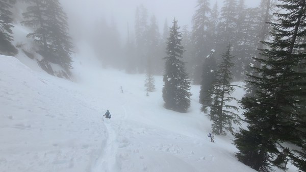 Then it's more up with the sun still trying to break through.
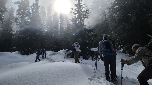 And finally, some sun!
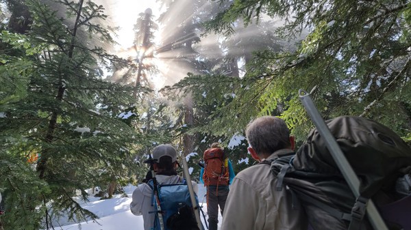 At about 1500' below the summit, we break out of the trees to blue skies and sunshine.
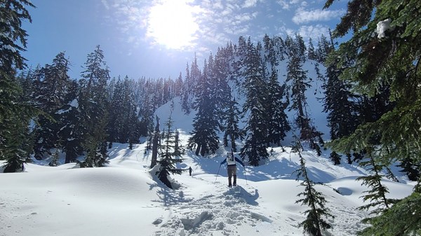 Around 4200' we come to another very steep section. It is so nice to have the broken trail.
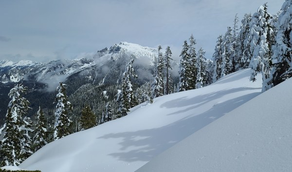
 Above the steep section and on the north ridge, it's beautiful and full of views. Looking north.
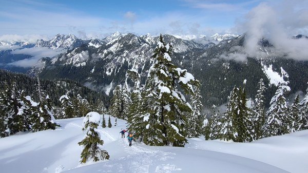 Our peak is straight ahead.
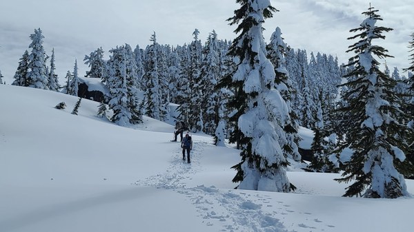 Big Snow Mtn from the ridge.
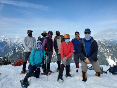
 The other group is heading down soon after the first members of our party arrive at the summit. We thank them profusely for their trail breaking. I finally reach the summit around 1pm. Thanks for the photo, Harumi.
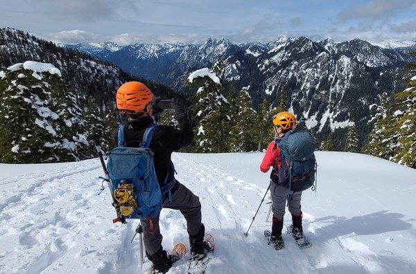
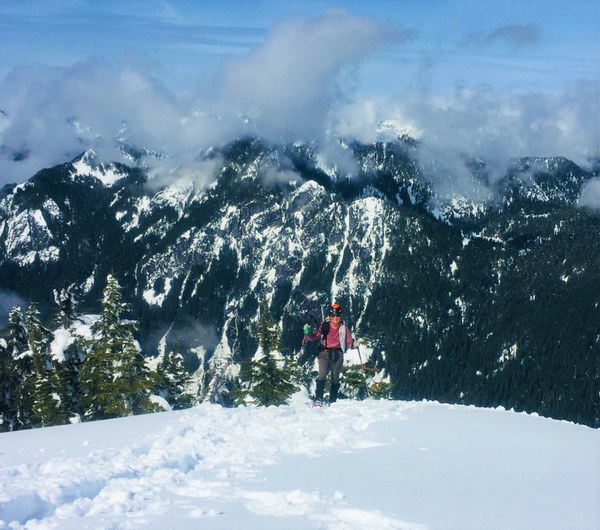 The views are beautiful. Chair Peak and Kaleetan's summit is obscured.
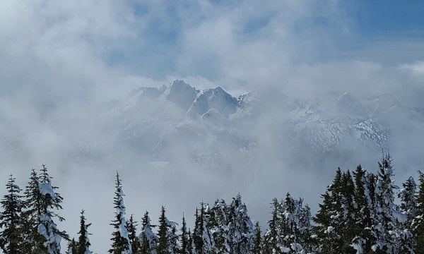 Overcoat, Chimney Rock, Lemah.
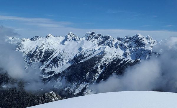 All the northern peaks I can't name.
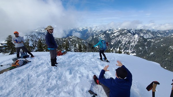 After about a hour enjoying our time on the summit, the clouds started enveloping us. Time to head down. Great visual of the 3 peaks of Garfield.
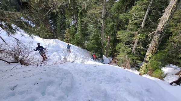
 We're able to skirt the first steep section by going around (shown on map) which was nice, but followed our route up the rest of the way. Going down one of the steeper sections.
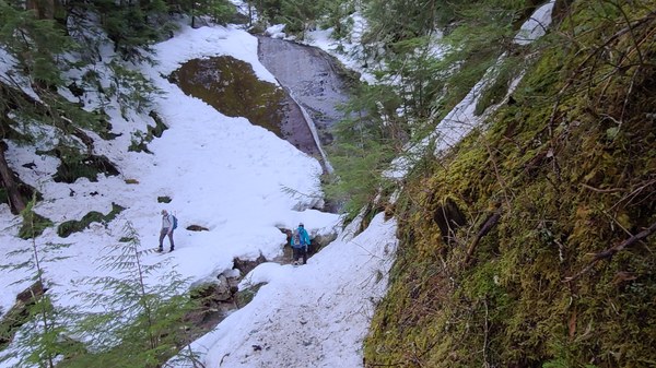
 Passing lovely Pumpkinseed Creek Falls along the Dingford Creek Trail. Back at our cars at 6pm. So fortunate and grateful to the trailbreakers who helped us get this summit within a reasonable time. I have no doubt we would have been returning in the dark otherwise as the snow was deep and heavy and navigation around the numerous cliffs would have been time consuming. What a wonderful day it turned out to be.
 Susan Shih