Trip Report
Winter Scramble - Mount Rose (winter)
A nice scramble to burn off some of the holiday goodies.
- Sat, Dec 26, 2020
- Winter Scramble - Mount Rose (winter)
- Mount Rose
- Scrambling
- Successful
-

- Road suitable for all vehicles
-
The road to the trail head is in excellent condition. The potholes are minimal and easily avoided.
The trail to horse camp was snow free. The snow line started soon after horse camp at around 3,000 feet. Travel to around 3,800 feet was possible without snow shoes. At around 3,800 feet our party elected to put snowshoes on due to fresh snow accumulations and post holing issues.
We arrived at the Mt. Rose trail head at around 7:45. We were the first vehicle in the parking lot for the day. At just after 8 am out group headed up the trail, at this time our vehicles were the only ones in the parking lot. After reading trip reports from last week and the avalanche report our party elected to carry snowshoes up. The weather report for the day called for up to half an inch of rain with winds coming from the west. Since our approach to Mt. Rose was going to be from the East it appeared the wind would not be an issue. The Avalanche report for the day had us in the green but did warn us that the upper slopes could be wind scoured down to ice that may have formed from the rain and freeze thaw cycles over the last week.
Break at Horse camp, photo by Nicole Fujie
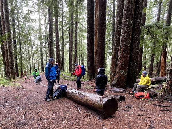
Our party made good progress with no major issue to the Horse camp besides the rain falling on us. By this point the rain was no where near as bad as forecast and we had yet to see or hear any wind for the day. At the Horse camp we took a short break and then headed left up the steeper route to the top of Rose. Just after Horse camp we encountered the first trace of snow at around 3,000 feet. This snow appeared to be fresh snow that had fallen over night which was slightly unexpected given that the weather report predicted no snow accumulation for the last few days.
As we continued up the mountain the snow proceeded to get deeper which was expected. Much to our delight the rain that was coming down on us earlier had turned to nice large fluffy snowflakes. This was nice until we realized that there might be enough snow falling to cover our tracks. This turned out not to be an issue.
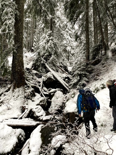
As we headed up the mountain we quickly arrived at the creek crossing. Having done this crossing over the last few years in various conditions I knew it could be problematic if there was enough snow. Today there wasn't enough snow in the area to cause us any problems. The only issue was probing around to check for hidden holes in the logs that had fallen near the trail where we had to cross at.
Creek crossing, photo Nicole Fujie
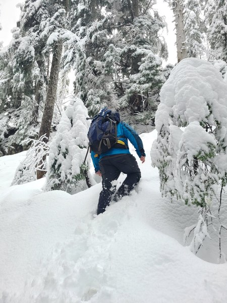
From the creek crossing the snow started getting deeper. Travel was still not an issue till we arrived at just above 3,800 feet. At this point we were pushing through what appeared to be six to eight inches of new snow. This was slowing us a bit since the snow was light and powdery and was causing us to slip a bit with each step going uphill. Finally we reached a point where we started post holing. At this time we elected to put on snowshoes. Once we put our snowshoes on travel once again resumed at a much quicker pace.
More fresh snow than expected, photo Rebecca Boeh
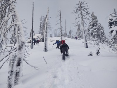
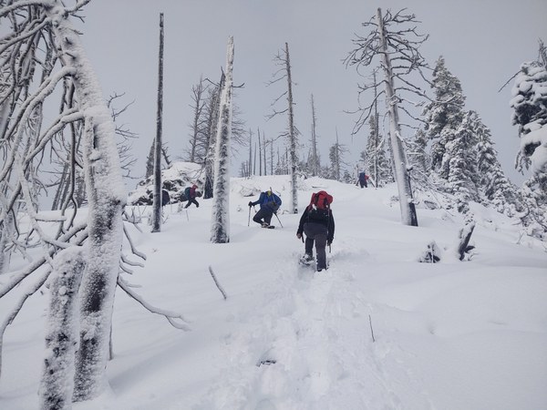
After donning our snowshoes we made good progress up the final portion to the summit block. As we came out at the first clearing near the top we felt and heard the wind starting. Much to our relief it did not seem anywhere near as bad as the forecast 18 to 20 mph with gusts approaching 30 mph. At this point we encountered a problem we did not expect. We actually had to break trail. The no snow accumulation as forecast did not appear to have happened.
With our goal in sight we did not let a little fresh trail breaking deter us as we quickly headed up to the summit. At the summit we had a quick snack and then decided that we should head back down the way we came up. We originally wanted to do the loop but decided if the forecast winds did appear we would be exposed to them for a much longer time by running the ridge line back down.
Nearing the summit, photo Jason Boeh
The trip back down was uneventful with the biggest problem being slipping in the now slick snow. At the snow line we ran into two hikers heading up. On our way back down we got another nice surprise, the rain had stopped and blue sky was out. Once we were below the snow line our pace increased and we made it back to the parking lot in what seemed like no time. On our way down we passed maybe three other hikers heading up. When we got back to the parking lot I was surprised to see it full with cars now parking on the road.
Trip stats:
Elevation gain: 3,600 feet
Distance: 5.7 miles
Total time: 5 hours
 Jerrick Linde