Trip Report
Winter Scramble - Songbird Peak (and Easter Island on Easter)
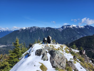
Spent a beautiful Easter Sunday on Easter Island on the way to Songbird Peak for an exploratory winter scramble.
- Sun, Mar 31, 2024
- Winter Scramble - Songbird Peak
- Songbird Peak, Machu Picchu & Greenway Mountain
- Scrambling
- Successful
-

- Road suitable for all vehicles
-
Parked at Olallie South Fork Picnic area. Trails are clear of snow until 3,400 feet. We needed snowshoes on both the final 400 feet to Songbird and on a portion of the forest service road down
We left the Olallie South Fork picnic area at 8:30am and walked over to the nearby Deception Crags trailhead. We headed up to the bridge over Change Creek on the Palouse to Cascades State Park trail and then turned east.
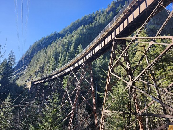
After a short walk, we turned on the unmarked trail and headed up to Olallie Knob. To get to the knob, you have to cross a knife edge ridge with some exposure on both sides. Our group of 5 scrambled up to Olallie Knob without any difficulties and we took our first break there.
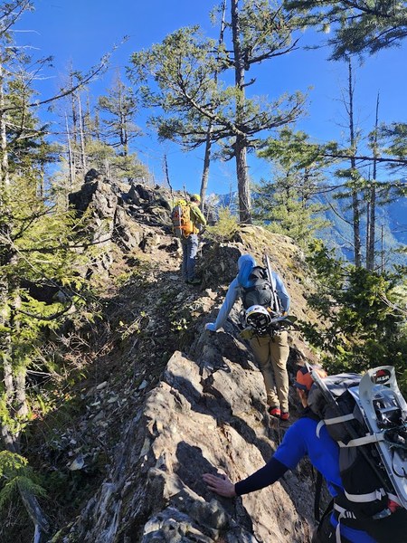
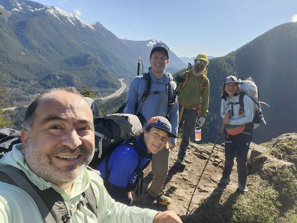
We returned to the trail and headed up to the next overlook: Hall Point. We continued from there to J's Landing, and up to the bunny ears of Easter Island. The trail was steep, but easy to follow. Snow appeared on the trail at 3,400 feet. At Easter Island, there is another section of rock with exposure that we had to navigate around.
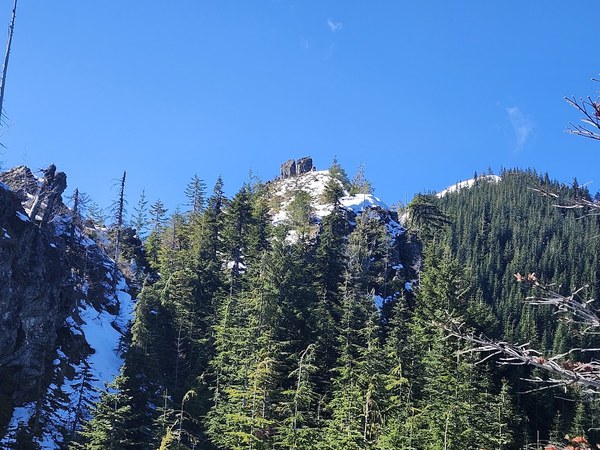
Eventually made it to the base of Songbird Peak at 3,850 feet. The snow coverage at that point was significant, so we put on our snowshoes and trekked up the final 400 feet to the peak itself. Our first scrambler up said that there were mountain goats that left the peak when they saw us, unfortunately, we did not see them. But the fresh snow tracks and goat droppings were signs that they were in fact just there. After a nice leisurely lunch break, we descended on snowshoes back to 3,850 feet.
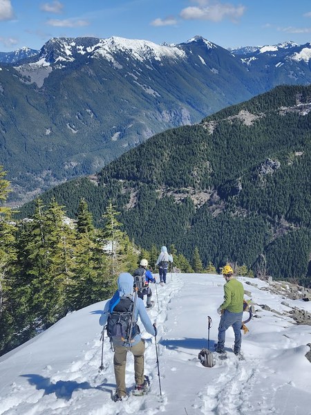
We made the decision to keep the snowshoes on and descent by the forest service road 9023-310. As we descended a little ways, the snowshoes were no longer needed so we put them away. We went past Macchu Picchu and then headed down to forest service road 9023.
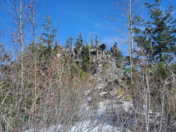
Around Hall Creek, we had postholing problems and there were a lot of overgrown trees that would render our snowshoes useless, so all we could do was power down the section until we got below the snow line. From there, it was an easy walk to the Zig Zag trail intersection at 2,800 feet. We descended the steep, but well maintained trail back to the Palouse Cascades trail and then out the Hall Creek trail back to the cars. Trip time was 7:50 car to car which included numerous stops for views and a leisurely lunch.
At our post hike meeting, the team discussed whether it was better to come out the forest service road or do an out and back. Certainly the presence of fresh unconsolidated snow on the forest service road slowed us down, but in normal conditions, we think it's just a matter of choice. Regardless, this was a fun a little close in scramble with a lot of interesting rock features and options to some other nearby peaks such as Change Peak.
 Paul Kallmann