Trip Report
Winter Scramble - South Green Mountain (NE Olympics)
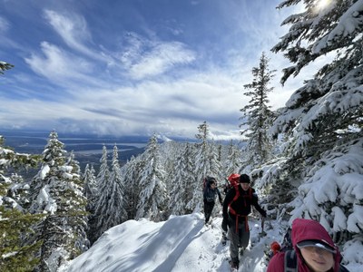
An exploratory winter scramble in the NE corner of the Olympic Mountains. Without doubt, the best all around venue for rhododendron appreciation, full body bushwhack brush up, dramatic views, and wintertime workout (~11 miles, 4000’ gain). [Lead photo by Jesse Bengtsson]
- Sat, Mar 2, 2024
- Winter Scramble - Notch Pass
- Notch Pass
- Scrambling
- Successful
-

- Road rough but passable
-
High clearance cars are recommended to reach the trailhead. As expected, relatively shallow snow depths made snowshoes optional (seemed to go faster with them on the logging road in the morning, did not use them on the return). Micro-spikes made for much safer travel on the steep, frozen, snow covered earth on the various ridges used to reach South Green Mountain. The northern summit of Green Mountain (the official Green Mountain and our original destination) was rendered undesirable by an extra 2 miles of world class rhododendron brush bashing from South Green Mountain (one mile outbound, another on return). This rhododendron brush challenge will likely get worse over time.

With recent exuberant weather (i.e. lots of fresh snow) plus cold temperatures complicating access at higher altitudes (i.e. driving on compact snow/ice) a rain shadow venue with a low altitude start seemed in order. South Green Mountain via Notch Pass (from the Penny Creek trailhead, elevation 700’) fit the bill, and only an hours drive from the ferry terminal. In spite of great views and beautiful rain shadow weather conditions, I would only give this one 3 stars due to the excessive rhododendron brush bashing. Then again, if you were really after learning how to brush bash it would be a 5 star venue.
As expected, a snow free trailhead about an hours drive from the Kingston ferry terminal. Only parking space for 3 cars, but a few more a short walk before and after (within sight).

By Leaf Petersen
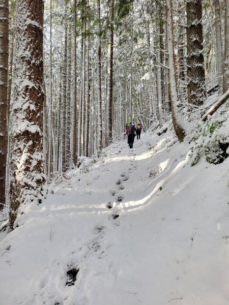
The eastern Notch Pass trail is very nice. Well maintained, wide, and a reasonable grade that our knees appreciated on the descent.
By Leaf Petersen
We soon arrived at Notch Pass…
By Jesse Bengtsson
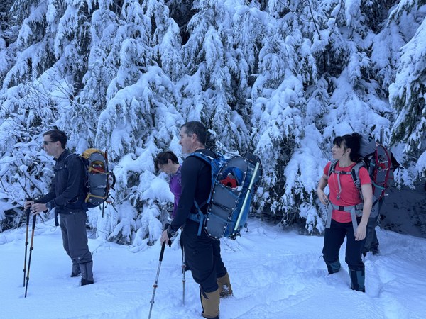
… and began the forest road walk to the cross country section . The road oscillated between shady/extremely cold sections…

By Leaf Petersen
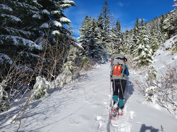
… and very sunny/warm sections (as long as the wind was not blowing ;).
By Leaf Petersen
The volunteer alders are encroaching in a few spots, so a few years from now these parts will make the bushwhack ambience even ‘better’.
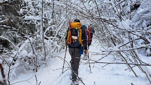
By Monika Johnson
We soon reached the first cross country section at [47.83312°N 122.96181°W]. This portion (from the road, then trending NNE along the ridge to the ~3840’ bump) had a relatively open understory (note evidence of past forest fires).
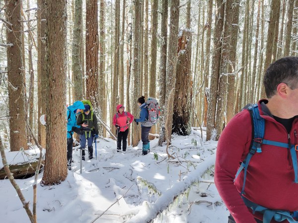
By Leaf Petersen
After a quarter mile of rhody brush we reached some great views near [47°50'24"N 122°57'50"W]…
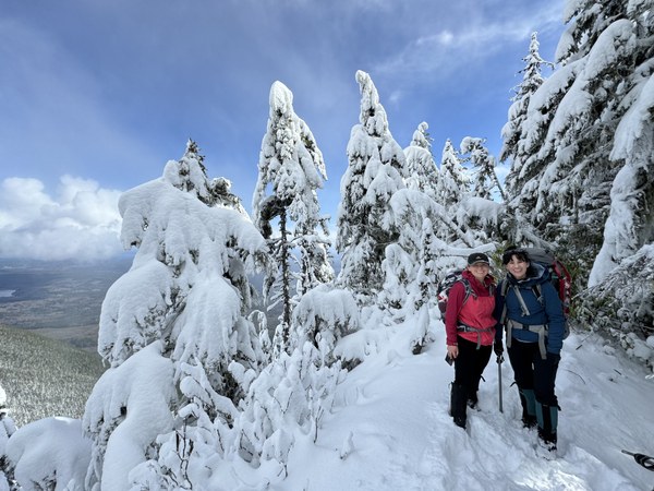
By Jesse Bengtsson

By Dave Morgan
Our destination, South Green Mountain (elevation ~4400’) can be seen in the distance on the upper left, only ~0.7 miles to go, how hard could it be?

By Dave Morgan
That question was answered quite unequivocally by mother nature.

By Jesse Bengtsson
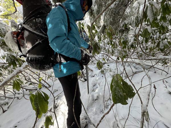
By Jesse Bengtsson
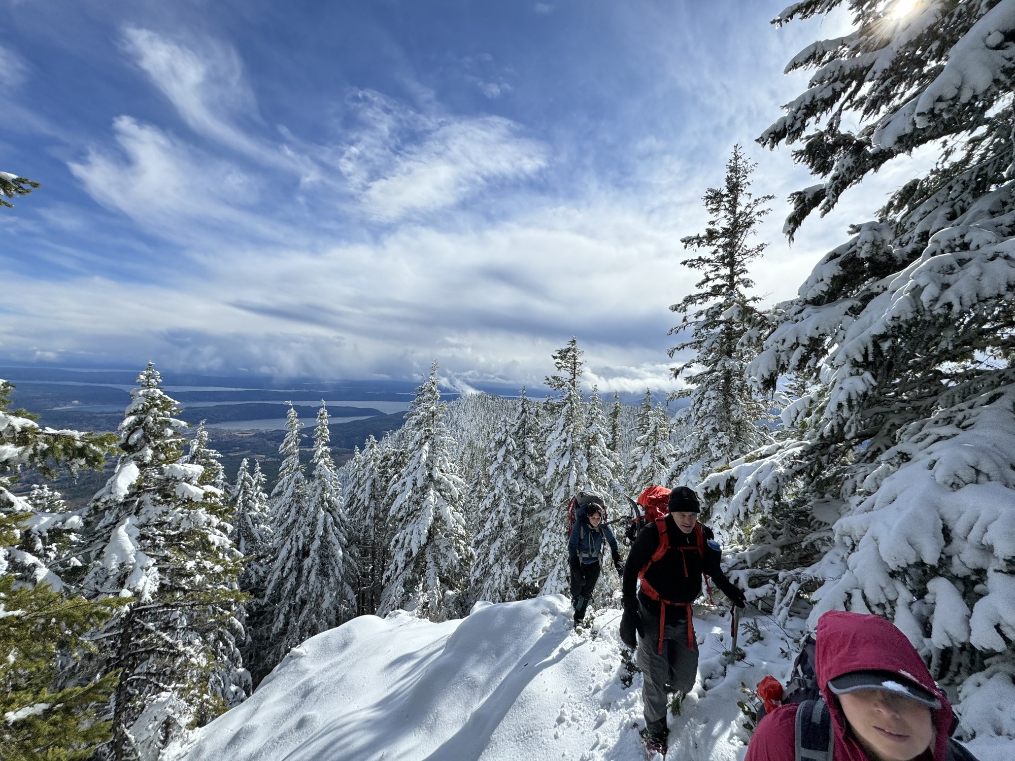
With a few open spots here and there to ease the bushwhack pain…
By Jesse Bengtsson
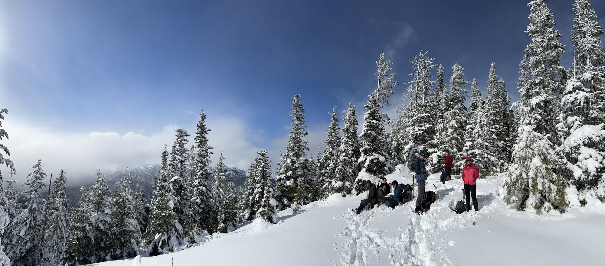
… we finally arrived at the 4400’ south summit for a well deserved lunch.

By Monika Johnson
Welch Peaks, Mount Townsend in the distance.
By Dave Morgan
After a nice lunch basking in the sun we skedaddled for home at 2:30pm (promises to keep, and miles of rhododendron bush whacking before we sleep). The descent of the cross country portion went much faster at just under 2 hours versus the 4 hours we spent on the ascent. We made great time after that, and 1.5 hours more saw us back at the cars (6pm, half an hour of dusk light remaining !). A great? day in the mountains with a total trip time of 10.5 hours (6.5 hours on the ascent, 3.5 hours for the descent, with several substantial breaks). Photos from this trip can be found here.
 Dave Morgan