Trip Report
Winter Scramble - Teanaway Ridge Loop
Nice winter trip on the east side where weather is often better.
- Sat, Mar 20, 2021
- Winter Scramble - Teanaway Ridge Loop
- Teanaway Ridge (winter)
- Scrambling
- Successful
-

- Road suitable for all vehicles
-
The parking area for this loop was at the junction of US 97 and FS 9714-Road. FD 9714 Road to the Iron Creek TH was closed and snow covered. We put out NW Forest Service parking passes, but not sure if they were needed.
I would have given this trip 5 stars if the weather had been better. Our goal was to summit Point 4943", a highpoint on the southern part of Teanaway Ridge. We did this by doing a clockwise loop using mostly roads and trails although the trails could hardly be seen under the snow.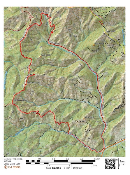 We started up the Hovey Creek Road at about 7:50am and soon put on our snowshoes. The snow was well consolidated so we made good time to the first intersection about a mile up.
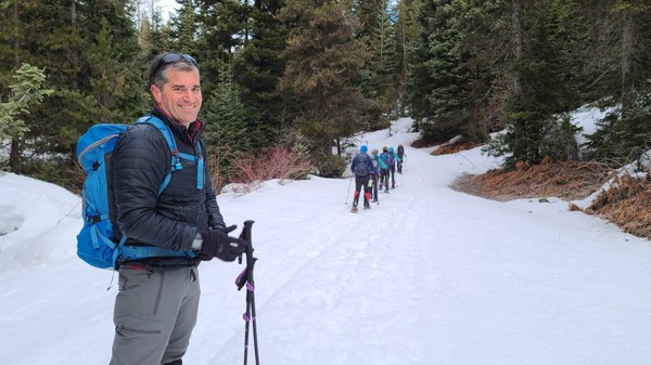 From there, we turned right (north) and headed up an abandoned road for about 1/4 mile where we then turned left (west) on another abandoned road. At this time the nice weather we were enjoying started to turn. The gray, snow clouds were heading for us as expected as the forecast was for 50% chance of snow.
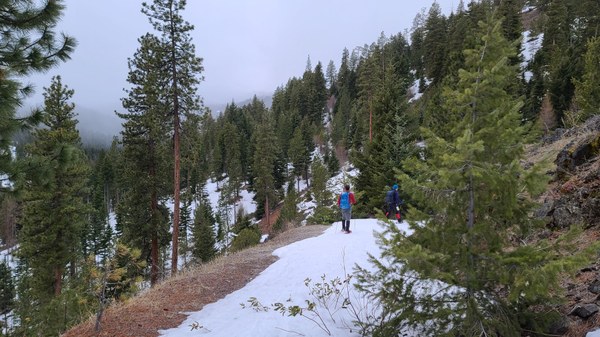 The road ends below Point 4002' and by the time we're here, it's snowing. Our goal, Teanaway Ridge is in sight, behind the people in the below photo.
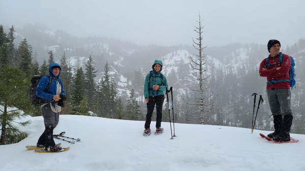 We take a short break here and start for the ridge. It's the only time during this trip when we're in open country, but reaching the ridge is easy and intuitive. It's about 3/4 miles and 1000' gain. Heading off.
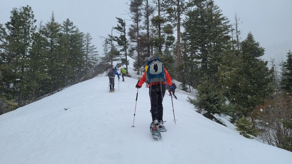 Some areas have little snow.
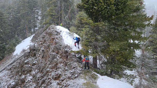 Soon we've reached the Teanaway Ridge Trail #1363.
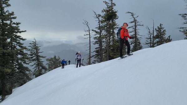 From here it's a short ways to Point 4943'.
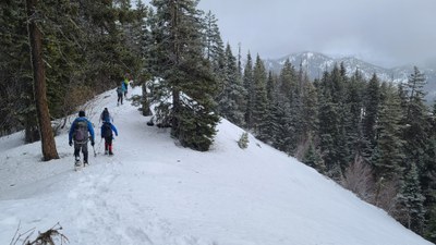
 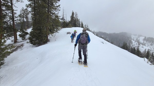 Bulent's photo looking back at the wide ridge. The sun is trying to break through.
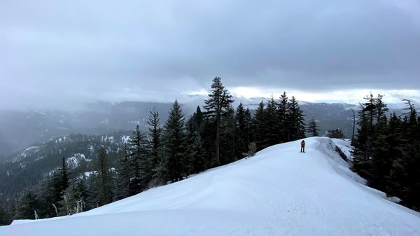 A little more uphill and we're all on the summit by 10:30am.
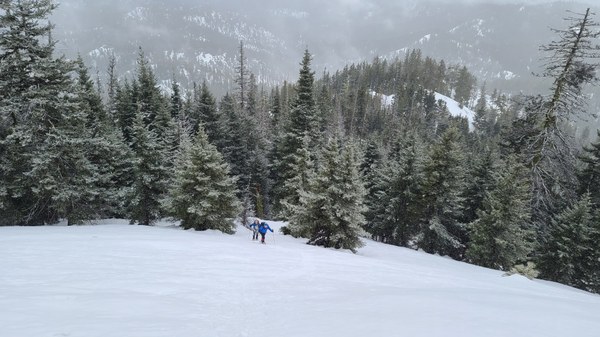 Summit selfie.
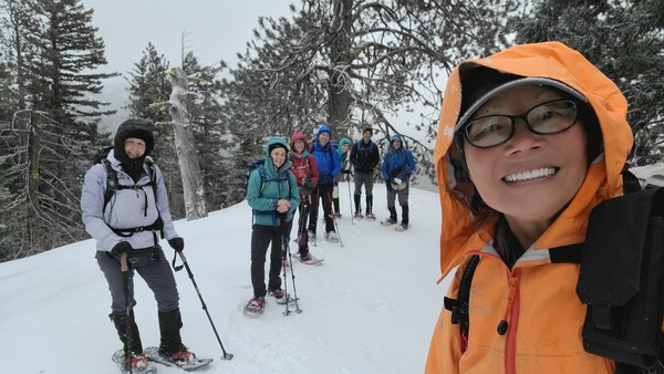 We don't stay long at the summit as it's a bit breezy and too early for lunch. Down we now go.
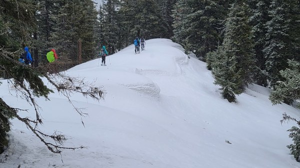 Soon we're totally in the tree and that's beautiful too.
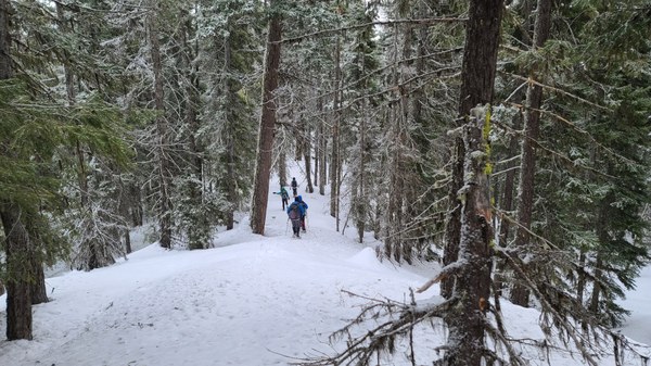 At some point while on the ridge, we start down the wrong ridge as there is no trail to follow. You can see this on the map. It's easy to do going downhill. We catch ourselves and get back on the correct route.
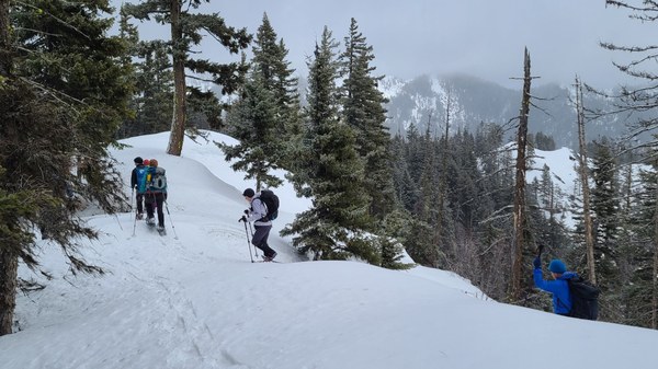 The sun has been teasing us as we travel along. Some more views begin to open and we stop for lunch when the sun is out around 11:30am. Then on we go again.
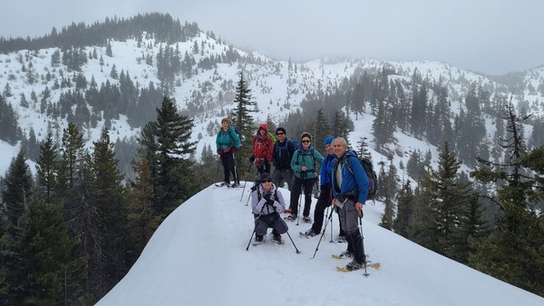
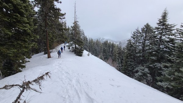 A group photo right above the 4 way junction. Iron Bear and Jester are straight ahead.
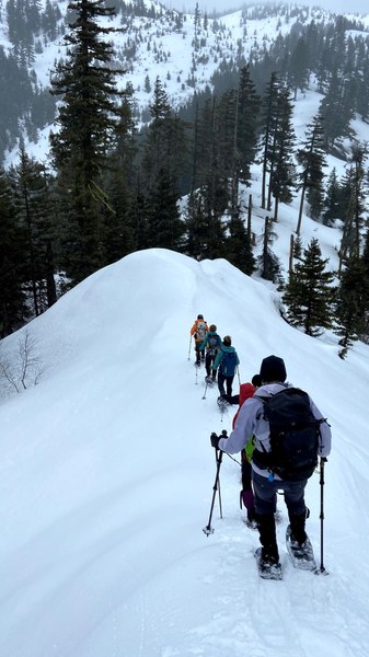
 Bulent's photo of us heading down to the 4 way junction.
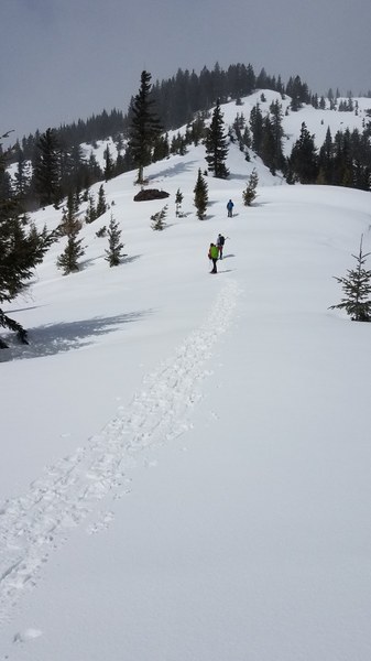
 Here we decide to split up. Ehren, my assistant leader take 3 up to tag Iron Bear while I return to the car with the other 3. The group heading up for Iron Bear.
 We have 5 miles to go to the TH. We thought it would be easy, but it wasn't. Much more side-hilling than anticipated.
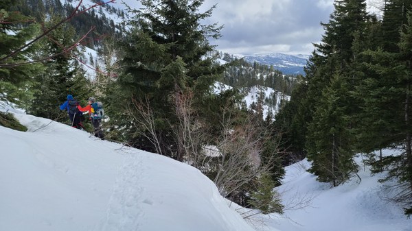
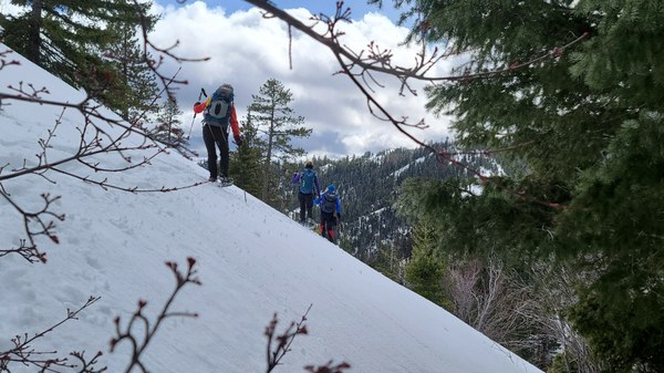 A few annoying stream crossings as well, but at least the blue skies have arrived.
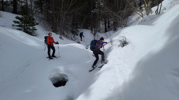 Once at the Iron Creek TH, it's 3 heinous miles on the road back to our cars. Heinous because we thought we could cruise down like the way we did on Hovey Creek Road this morning, but we have the worse trail breaking of the day on this soft, heavy snow.
 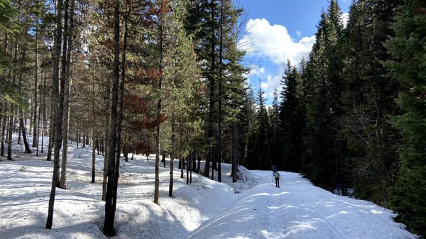 We're back at our cars around 4:45pm after taking a long break on the road. The remaining 4 returned around 5:30pm. Snowshoes the entire time. What a wonderful day with a delightful group. My stats were 11.25 miles/2800' gain.
 Susan Shih